New Bethel
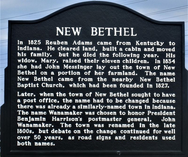
In 1825 Reuben Adams came from Kentucky to Indiana. He cleared land, built a cabin and moved his family, but he died the following year. His widow, Mary raised their eleven children In 1854 she had John Messinger lay out the town of New Bethel on a portion of her farmland. The name New Bethel came from nearby New Bethel Baptist Church, which had been founded in 1827.
Later, when the town of New Bethel sought to have a post office, the name had changed because there was already a similarly-named town in Indiana. The name Wanamaker was chosen to honor President Benjamin Harrison’s postmaster general, John Wanamaker. The town was renamed in the late 1800s, but debate on the change continued for well over 50 years, as road signs and residents used both names.
Erected by Franklin Township Historical Society.
Topics. This historical marker is listed in this topic list: Settlements & Settlers. A significant historical year for this entry is 1825.
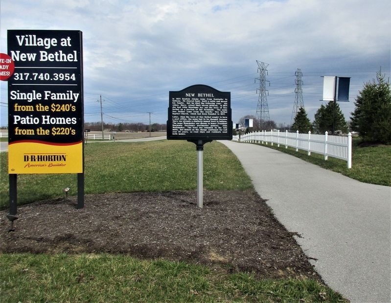
Location. 39° 41.425′ N, 86° 1.081′ W. Marker is in Indianapolis, Indiana, in Marion County. It is in Franklin Township. Marker is at the intersection of South Franklin Road and Hemingway Drive, on the right when traveling north on South Franklin Road. Touch for map. Marker is at or near this postal address: 5345 South Franklin Road, Indianapolis IN 46239, United States of America. Touch for directions.
Other nearby markers.
Credits. This page was last revised on February 4, 2023. It was originally submitted on March 27, 2021, by Rev. Ronald Irick of West Liberty, Ohio. This page has been viewed 306 times since then and 48 times this year. Photos: 1, 2. submitted on March 27, 2021, by Rev. Ronald Irick of West Liberty, Ohio. • Bill Pfingsten was the editor who published this page.

