Near St. Charles in St. Charles County, Missouri — The American Midwest (Upper Plains)
Greens Bottom to St. Charles
Points of Interest

The distance from Greens Bottom to St. Charles is 6.20 miles. Traveling east toward St. Charles, the elevation remains almost constant. Greens Bottom (milepost 45.7) is named for the American Revolutionary War (1775-1783) veteran James Green, one of the first American settlers in St. Charles County.
The origins of the name for Duckett Creek at milepost 44.3 are shrouded in mystery. The creek may have been named after Francois Duquette, an early French-Canadian resident of St. Charles. However, another story suggests T. George Jung named it in honor of his wife, whose pet name was 'Ducke.' Jungs Station Road (milepost 44.1) once fed to a Katy rail station located on Jung's land.
The Highway 364 bridge at milepost 42.8 crosses the Missouri River and connects southern St. Charles to St. Louis County. The Creve Coeur Park Connector, a 3.60-mile trail, uses the bridge to link Katy Trail State Park and Creve Coeur Park in St. Louis County.
Between mileposts 42.4 and 41.4, a scenic route goes around the Family Arena and concrete plant to avoid heavy traffic, making this one of the longest miles on the trail. St. Charles
this page online
In St. Charles, the route of the Katy Trail State Park runs beside the Missouri River bluffs. Cottonwood, sycamore and box elder trees and horsetail rushes flourish on the riverside. The bluffs support an upland forest with oaks, walnuts, sugar maple and staghorn sumac.
[Caption:]
Workers quarried limestone along the MKT for the 1903 St. Charles County Courthouse.
Erected by Missouri State Parks.
Topics and series. This historical marker is listed in these topic lists: Natural Resources • Railroads & Streetcars • Settlements & Settlers. In addition, it is included in the Katy Trail State Park series list. A significant historical year for this entry is 1903.
Location. 38° 42.938′ N, 90° 34.019′ W. Marker is near St. Charles, Missouri, in St. Charles County. It can be reached from Greens Bottom Road 1.3 miles west of Jungs Station Road, on the right when traveling west. Touch for map.


Regionally, this marker is in the Missouri River Corridor and in Greater St. Louis. It is also in the American Midwest, in the Lewis & Clark Corridor, in the Corn Belt, and in the Great River Road Region. Globally, it is in North America, the Western Hemisphere, the Western World, and the Anglosphere. Historically, it finds itself in what was once the territory of the Mississippian Culture, the Louisiana Purchase, and the Antebellum South.
Other nearby markers. At least 8 other markers are within 4 miles of this marker, measured as the crow flies: Greens Bottom to Weldon Spring (here, next to this marker); Centennial Greenway - Heritage Crossing (approx. 2.7 miles away); Centennial Greenway - Katy Trail State Park (approx. 2.9 miles away); Icehouse (approx. 3.4 miles away); Smoke House (approx. 3½ miles away); Thornhill (approx. 3½ miles away); P.O.W. - M.I.A. Memorial (approx. 3½ miles away); Hoch House (approx. 3.7 miles away). Touch for a list and map of all markers in St. Charles.
Photographed by Garrett Koch, September 21, 2026
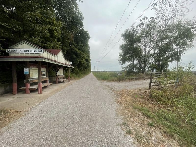
3. Greens Bottom to St. Charles Marker - alternate context view looking north toward St. Charles
Photographed by Garrett Koch, September 21, 2026
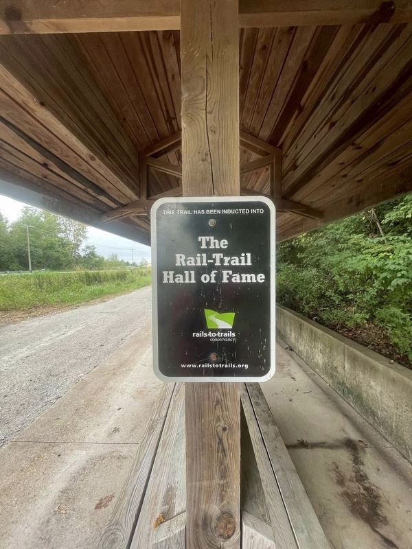
4. Greens Bottom to St. Charles Marker - additional_signage
Credits. This page was last revised on October 6, 2026. It was originally submitted on March 27, 2021, by Devry Becker Jones of Washington, District of Columbia. This page has been viewed 1,164 times since then and 80 times this year. Photos: 1, 2. submitted on March 27, 2021, by Devry Becker Jones of Washington, District of Columbia. 3, 4. submitted on September 22, 2026, by Garrett Koch of Saint Louis, Missouri.
