Laurel Park in Henderson County, North Carolina — The American South (South Atlantic)
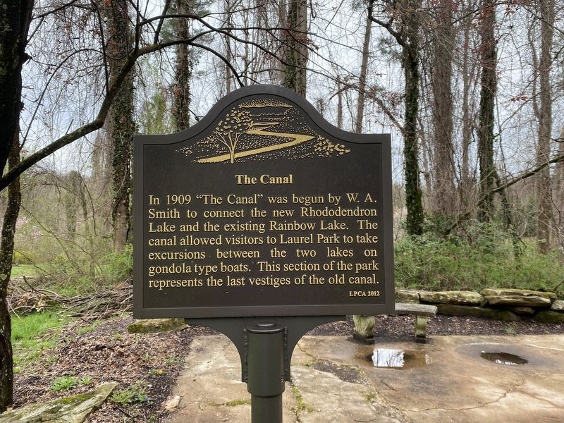
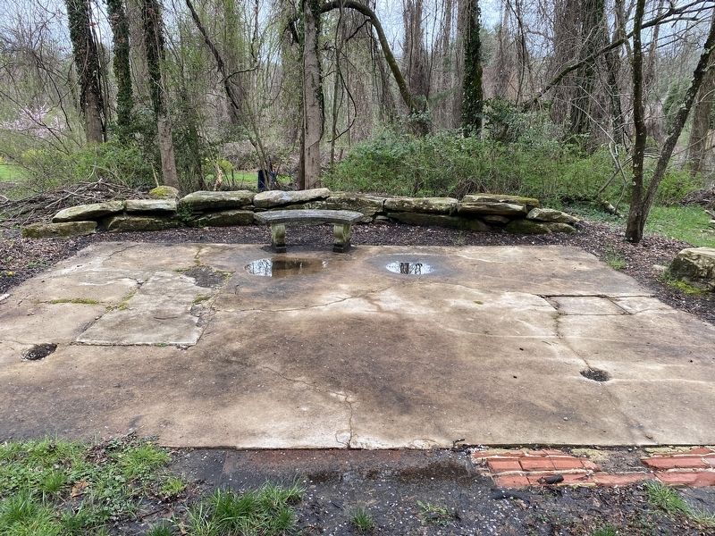
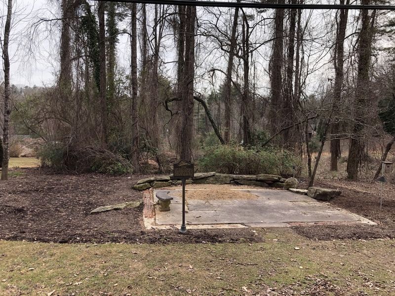
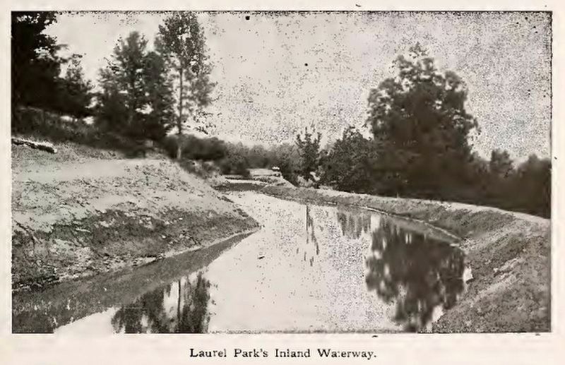
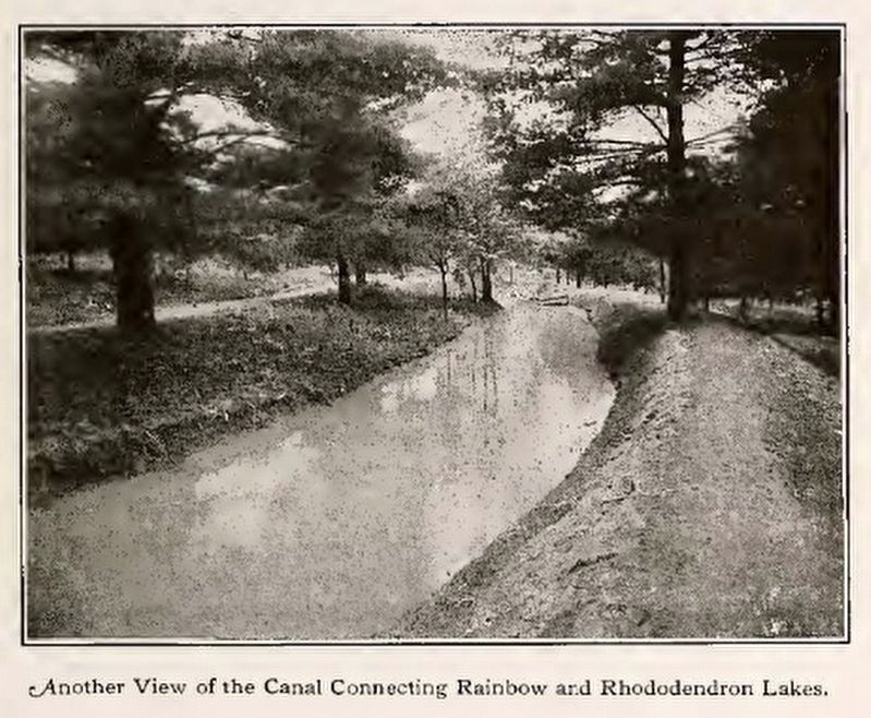
The Canal
Erected 2012 by Laurel Park Civic Association.
Topics. This historical marker is listed in this topic list: Parks & Recreational Areas. A significant historical year for this entry is 1909.
Location. 35° 18.836′ N, 82° 29.23′ W. Marker is in Laurel Park, North Carolina, in Henderson County. Marker can be reached from the intersection of Lake Drive and Laurel Park Highway. Touch for map. Marker is at or near this postal address: 388 Lake Dr, Hendersonville NC 28739, United States of America. Touch for directions.
Other nearby markers. At least 8 other markers are within walking distance of this marker. The Laurel Park Railroad (about 700 feet away, measured in a direct line); The Park and Amusement Grounds (about 800 feet away); The Casino (about 800 feet away); The Retreat Hotel (approx. 0.2 miles away); Rhododendron Lake (approx. 0.2 miles away); William Alexander Smith (approx. ¼ mile away); History & Restoration (approx. 0.3 miles away); Crystal Spring (approx. 0.4 miles away). Touch for a list and map of all markers in Laurel Park.
Credits. This page was last revised on February 13, 2024. It was originally submitted on March 28, 2021, by Lee Grounsell of Zirconia, North Carolina. This page has been viewed 271 times since then and 68 times this year. Photos: 1, 2. submitted on March 28, 2021, by Lee Grounsell of Zirconia, North Carolina. 3. submitted on February 12, 2024, by Duane and Tracy Marsteller of Murfreesboro, Tennessee. 4, 5. submitted on February 13, 2024, by Duane and Tracy Marsteller of Murfreesboro, Tennessee. • Bernard Fisher was the editor who published this page.
