Perrysburg in Wood County, Ohio — The American Midwest (Great Lakes)
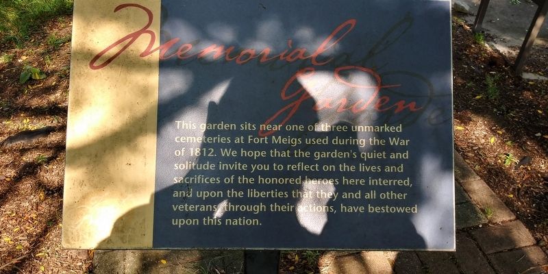
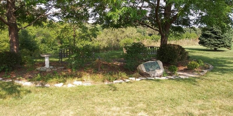
Memorial Garden
Fort Meigs
Topics. This historical marker is listed in these topic lists: Cemeteries & Burial Sites • Forts and Castles • War of 1812. A significant historical year for this entry is 1812.
Location. 41° 33.117′ N, 83° 39.212′ W. Marker is in Perrysburg, Ohio, in Wood County. Marker can be reached from the intersection of West River Road (Ohio Route 65) and Fort Meigs Road, on the right when traveling west. Touch for map. Marker is at or near this postal address: 27547 W River Rd, Perrysburg OH 43551, United States of America. Touch for directions.
Other nearby markers. At least 8 other markers are within walking distance of this marker. In Memory Of Michael Hayes, Timothy Hayes, Thomas Hayes (here, next to this marker); Virginia Soldiers Who Died At Fort Meigs Or In Ohio During the War of 1812 (a few steps from this marker); Second Fort (within shouting distance of this marker); Fort Meigs / Introduction 4 (within shouting distance of this marker); Fort Meigs / Construction (within shouting distance of this marker); Fort Meigs / Introduction 3 (within shouting distance of this marker); Fort Meigs / Introduction 2 (about 300 feet away, measured in a direct line); The Grand Battery (about 300 feet away). Touch for a list and map of all markers in Perrysburg.
Credits. This page was last revised on March 29, 2021. It was originally submitted on March 28, 2021, by Craig Doda of Napoleon, Ohio. This page has been viewed 74 times since then and 10 times this year. Photos: 1, 2. submitted on March 28, 2021, by Craig Doda of Napoleon, Ohio. • Devry Becker Jones was the editor who published this page.

