Hell's Kitchen in Manhattan in New York County, New York — The American Northeast (Mid-Atlantic)
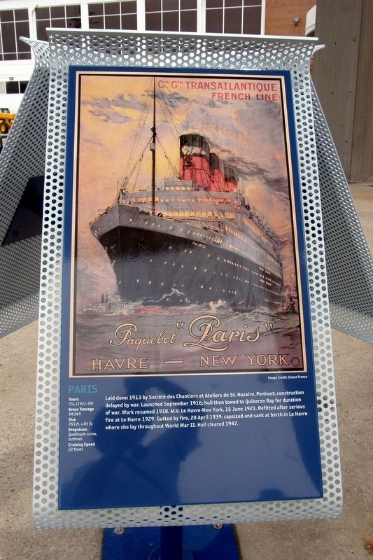
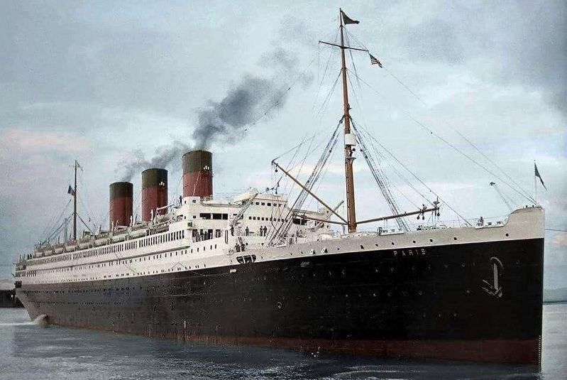
Paris
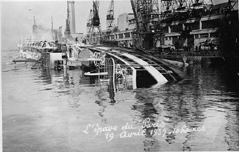
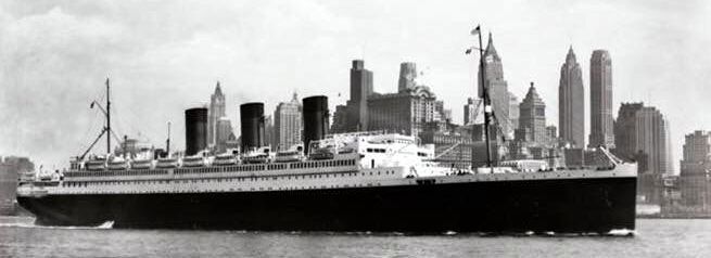
Laid down 1913 by Société des Chantiers et Ateliers de St. Nazaire, Penhoet; construction delayed by war. Launched September 1916; hull then towed to Quiberon Bay for duration of war. Work resumed 1918. M.V. Le Havre-New York, 15 June 1921. Refitted after serious fire at Le Havre 1929. Gutted by fire, 20 April 1939; capsized and sank at berth in Le Havre where she lay throughout World War II. Hull cleared 1947.
Years – ’21 (1921-39)
Gross tonnage – 34, 569
Size – 765 ft. x 85 ft.
Propulsion – Quadruple screw, turbines
Cruising Speed – 22 Knots
Topics. This historical marker is listed in this topic list: Waterways & Vessels. A significant historical date for this entry is April 20, 1939.
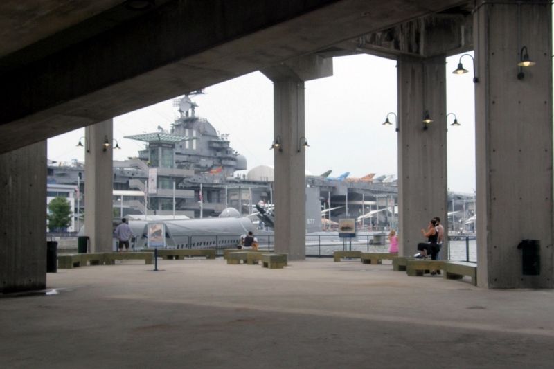
Location. 40° 45.912′ N, 73° 59.914′ W. Marker is in Manhattan, New York, in New York County. It is in Hell's Kitchen. Marker can be reached from the intersection of Hudson River Greenway and West 47th Street. Touch for map. Marker is at or near this postal address: between Piers 86 and 88, New York NY 10036, United States of America. Touch for directions.
Other nearby markers. At least 8 other markers are within walking distance of this marker. RMS Queen Mary (here, next to this marker); Aquitania (here, next to this marker); SS United States (here, next to this marker); La Touraine (here, next to this marker); Queen Elizabeth (here, next to this marker); Propeller (about 300 feet away, measured in a direct line); Regulus I Missile (about 400 feet away); History of Growler (about 400 feet away). Touch for a list and map of all markers in Manhattan.
Also see . . . SS Paris (1916). (Submitted on March 29, 2021, by Larry Gertner of New York, New York.)
Credits. This page was last revised on January 31, 2023. It was originally submitted on March 29, 2021, by Larry Gertner of New York, New York. This page has been viewed 70 times since then and 5 times this year. Photos: 1, 2, 3, 4, 5. submitted on March 29, 2021, by Larry Gertner of New York, New York.
