Freeport in Brazoria County, Texas — The American South (West South Central)
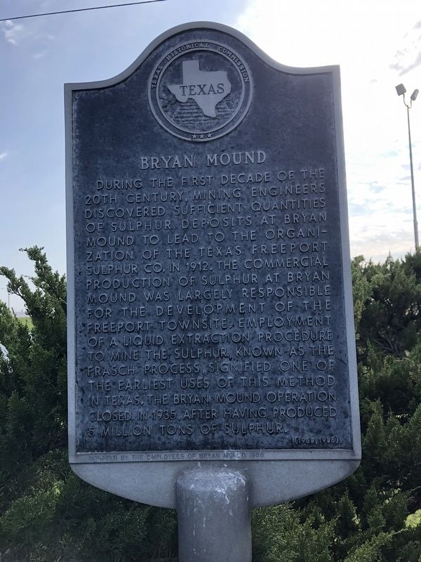
Bryan Mound
During the first decade of the 20th century, mining engineers discovered sufficient quantities of sulphur deposits at Bryan Mound to lead to the organization of the Texas Freeport Sulphur Co. in 1912. The commercial production of sulphur at Bryan Mound was largely responsible for the development of the Freeport townsite. Employment of a liquid extraction procedure to mine the sulphur, known as the Frasch process, signified one of the earliest uses of this method in Texas. The Bryan Mound operation closed in 1935, after having produced 5 million tons of sulphur.
Erected 1968 by Texas Historical Commission. Incise on base: Donated by the employees of Bryan Mound 1986. (Marker Number 9539.)
Topics. This historical marker is listed in this topic list: Industry & Commerce. A significant historical year for this entry is 1912.
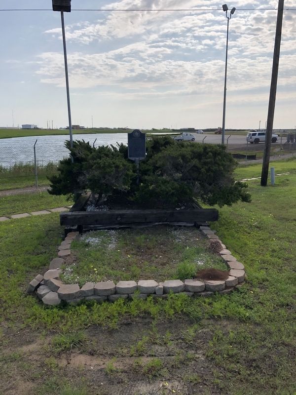
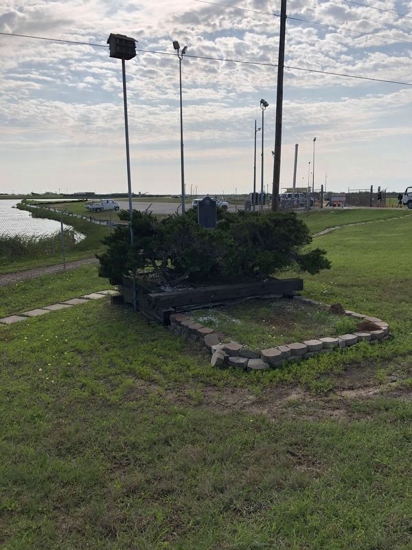
Location. 28° 54.893′ N, 95° 23.12′ W. Marker is in Freeport, Texas, in Brazoria County. Marker is at the intersection of Levee Road and Bryan Mound Road (Highway 242), on the left when traveling south on Levee Road. Touch for map. Marker is in this post office area: Freeport TX 77541, United States of America. Touch for directions.
Other nearby markers. At least 8 other markers are within 4 miles of this marker, measured as the crow flies. Schuster Home (approx. 3.1 miles away); Schuster House (approx. 3.1 miles away); Freeport National Bank (approx. 3.4 miles away); Colonel Robert M. Coleman (approx. 3.4 miles away); In Memory of those Who Made the Supreme Sacrifice - World War I - World War II - Korean Conflict (approx. 3.4 miles away); Velasco Methodist Church (approx. 3˝ miles away); Freeport Veterans Memorial Park (approx. 3˝ miles away); Site of Town of Old Velasco (approx. 3.6 miles away). Touch for a list and map of all markers in Freeport.
Credits. This page was last revised on January 24, 2022. It was originally submitted on March 29, 2021, by Chris Kneupper of Brazoria, Texas. This page has been viewed 277 times since then and 14 times this year. Photos: 1, 2, 3. submitted on March 29, 2021, by Chris Kneupper of Brazoria, Texas. • J. Makali Bruton was the editor who published this page.


