Perrysburg in Wood County, Ohio — The American Midwest (Great Lakes)
Stockade
Fort Meigs
Photographed by Craig Doda, September 12, 2020
1. Stockade Marker
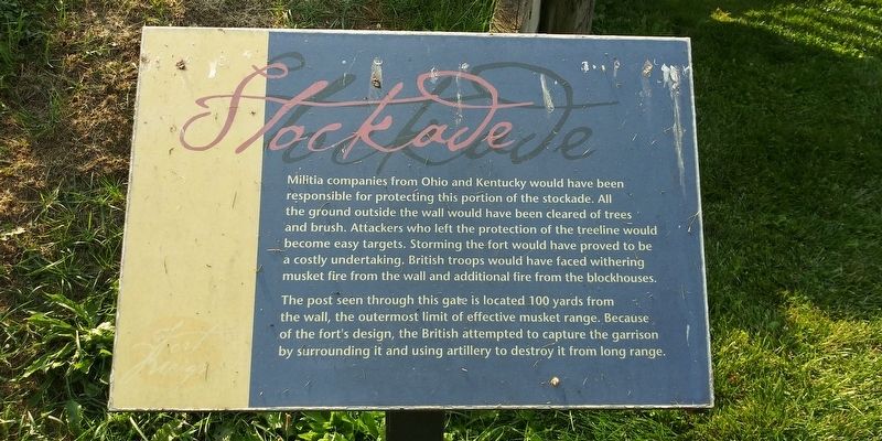
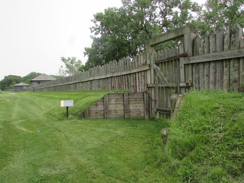
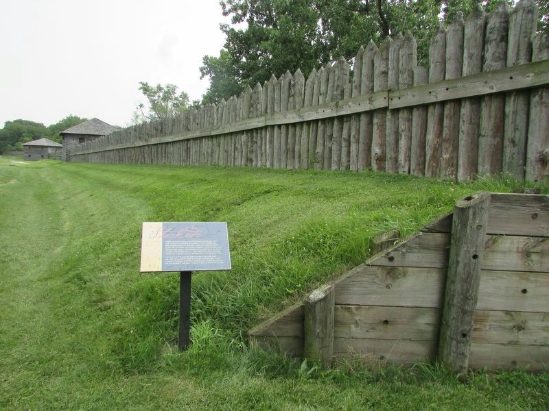
Militia companies from Ohio and Kentucky would have been responsible for protecting this portion of the stockade. All the ground outside the wall would have been cleared of trees and brush. Attackers who left the protection of the treeline would become easy targets. Storming the fort would have proved to be a costly undertaking, British troops would have faced withering musket fire from the wall and additional fire from the blockhouses.
The post seen through this gate is located 100 yards from
the wall, the outermost limit of effective musket range. Because
of the fort's design, the British attempted to capture the garrison
by surrounding it and using artillery to destroy it from long range.
Topics. This historical marker is listed in these topic lists: Forts and Castles • War of 1812.
Location. 41° 33.107′ N, 83° 39.104′ W. Marker is in Perrysburg, Ohio, in Wood County. It can be reached from the intersection of West River Road (Ohio Route 65) and Fort Meigs Road, on the right when traveling west. Touch for map. Marker is at or near this postal address:
this page online

Regionally, this marker is in the Black Swamp, in the Till Plains, and in the Toledo Metropolitan Area. It is also in the American Midwest and in the Corn Belt. Globally, it is in North America, on the Great Lakes, in the Western Hemisphere, in the Western World, and in the Anglosphere. Historically, it finds itself in what was once the Haudenosaunee (Iroquois) Confederacy, the territory of the Mississippian Culture, and the Northwest Territory.
Other nearby markers. At least 8 other markers are within walking distance of this marker: Fort Meigs / Construction (within shouting distance of this marker); Pennsylvania Soldiers Monument (about 300 feet away, measured in a direct line); Kentucky Soldiers Monument (about 300 feet away); Fort Meigs / Introduction 4 (about 300 feet away); Fort Meigs (about 400 feet away); General William Henry Harrison (about 400 feet away); Fort Meigs / Introduction 3 (about 400 feet away); Second Fort (about 400 feet away). Touch for a list and map of all markers in Perrysburg.
Photographed by Bill Coughlin, August 2, 2023
2. Stockade Marker
Photographed by Bill Coughlin, August 2, 2023
3. Stockade Marker
Credits. This page was last revised on February 3, 2026. It was originally submitted on March 29, 2021, by Craig Doda of Napoleon, Ohio. This page has been viewed 253 times since then and 29 times this year. Photos: 1. submitted on March 29, 2021, by Craig Doda of Napoleon, Ohio. 2, 3. submitted on January 24, 2026, by Bill Coughlin of Woodland Park, New Jersey. • Devry Becker Jones was the editor who published this page.
