Lexington in Fayette County, Kentucky — The American South (East South Central)
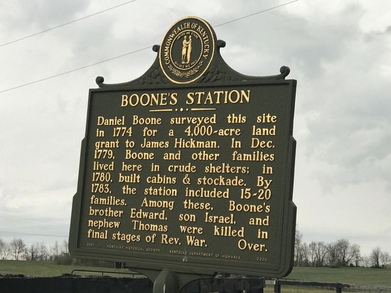
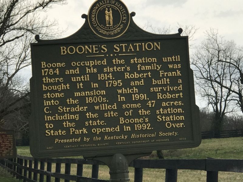
Boone's Station
Boone occupied the station until 1784 and his sister's family was there until 1814. Robert Frank bought it in 1795 and built a stone mansion which survived into the 1800s. In 1991, Robert C. Strader willed some 47 acres, including the site of the station, to the state. Boone's Station State Park opened in 1992.
Erected 2007 by Kentucky Historical Society and Kentucky Department of Highways. (Marker Number 2230.)
Topics and series. This historical marker is listed in these topic lists: Settlements & Settlers • War, US Revolutionary. In addition, it is included in the Kentucky Historical Society series list. A significant historical year for this entry is 1774.
Location. 37° 57.047′ N, 84° 21.383′ W. Marker is in Lexington, Kentucky, in Fayette County. Marker is on Gentry Road, 0.3 miles east of North Baxter Boulevard, on the left when traveling east. Touch for map. Marker is at or near this postal address: 240 Gentry Road, Lexington KY 40509, United States of America. Touch for directions.
Other nearby markers. At least 8 other markers are within 3 miles of this marker, measured as the crow flies. Samuel Boone (a few steps from this marker); Uncovering Our Pioneer Past (within shouting distance of this marker); Boone (about 400 feet away, measured in a direct line); Boone's Creek Baptist Church (approx. 0.4 miles away); John Jacob Niles (approx. 1.6 miles away); ← Cave Spring (approx. 2.3 miles away); Caveland (approx. 2.7 miles away); Jones Nursery / Nursery Place (approx. 2.8 miles away). Touch for a list and map of all markers in Lexington.
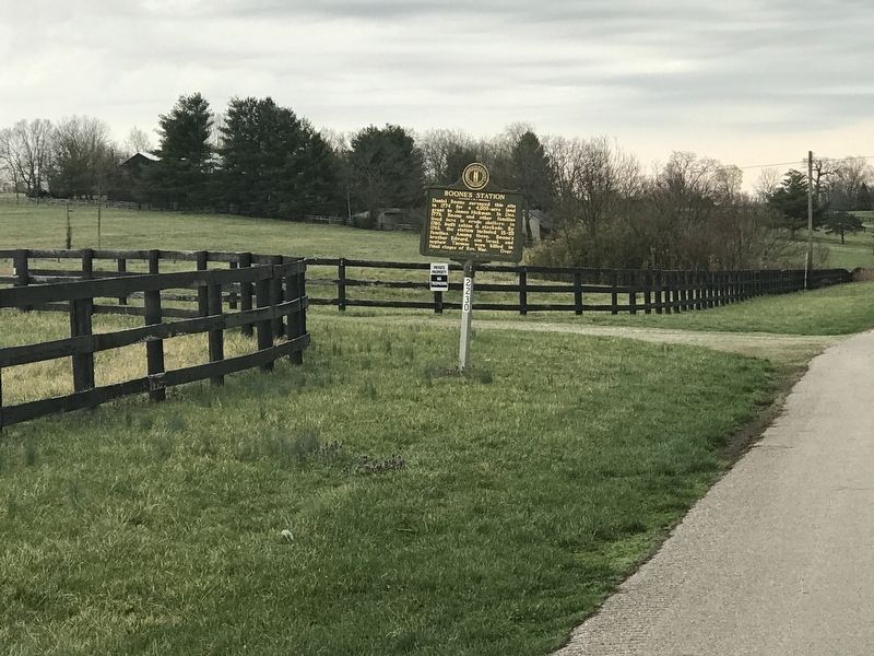
More about this marker. Marker is at Boone's Station State Historic Site. There is no public access into the site, with 'No trespassing' signs posted.
Credits. This page was last revised on March 29, 2021. It was originally submitted on March 29, 2021, by Duane and Tracy Marsteller of Murfreesboro, Tennessee. This page has been viewed 395 times since then and 84 times this year. Photos: 1, 2, 3. submitted on March 29, 2021, by Duane and Tracy Marsteller of Murfreesboro, Tennessee.


