Grand Forks in Grand Forks County, North Dakota — The American Midwest (Upper Plains)
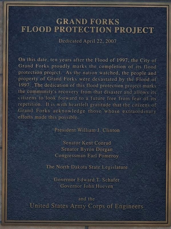
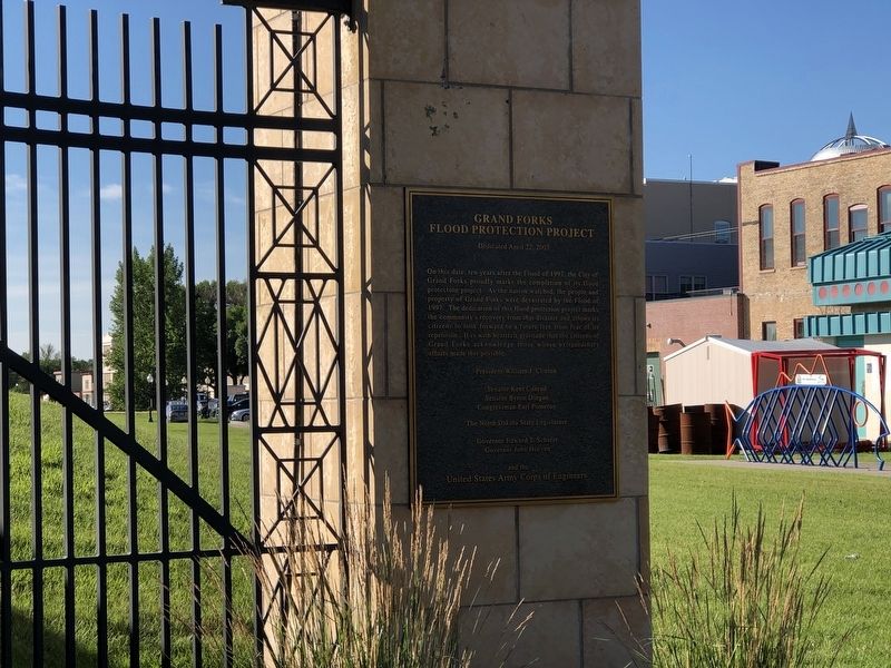
Grand Forks Flood Protection Project
Dedicated April 22, 2007
On this date, ten years after the Flood of 1997, the City of Grand Forks proudly marks the completion of its flood protection project. As the nation watched, the people and property of Grand Forks were devastated by the Flood of 1997. The dedication of this flood protection project marks the community's recovery from the disaster and allows its citizens to look forward to a future free from fear of its repetition. It is with heartfelt gratitude that the citizens of Grand Forks acknowledge those whose extraordinary efforts made this possible.
Senator Kent Conrad
Senator Byron Dorgan
Congressman Earl Pomeroy
The North Dakota State Legislature
Governor Edward T. Schafe
Governor John Hoeven
and the
United States Army Corps of Engineers
Topics. This historical marker is listed in these topic lists: Disasters • Environment. A significant historical date for this entry is April 22, 2007.
Location. 47° 55.545′ N, 97° 1.772′ W. Marker is in Grand Forks, North Dakota, in Grand Forks County. Marker is at the intersection of Demers Avenue and North 3rd Street on Demers Avenue. Touch for map. Marker is at or near this postal address: 309 Demers Avenue, Grand Forks ND 58203, United States of America. Touch for directions.
Other nearby markers. At least 8 other markers are within walking distance of this marker . Welcome to Memorial Park (about 600 feet away, measured in a direct line); Evacuating Two Cities (about 600 feet away); The Flood Fight Begins (about 600 feet away); The River Wins (about 600 feet away); Blizzard "Hannah" (about 600 feet away); A Brutal Winter (about 600 feet away); Security Trust Company (about 600 feet away); First National Bank Building (about 600 feet away). Touch for a list and map of all markers in Grand Forks.
Credits. This page was last revised on March 30, 2021. It was originally submitted on March 30, 2021, by Ruth VanSteenwyk of Aberdeen, South Dakota. This page has been viewed 111 times since then and 11 times this year. Photos: 1, 2, 3. submitted on March 30, 2021, by Ruth VanSteenwyk of Aberdeen, South Dakota. • Bill Pfingsten was the editor who published this page.


