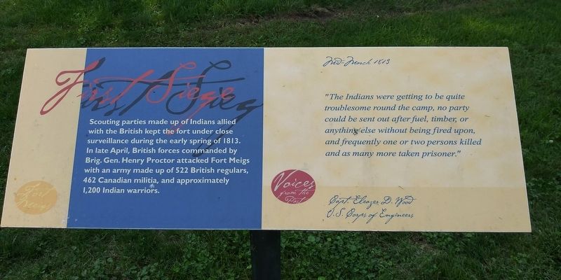
First Siege
Fort Meigs
Scouting parties made up of Indians allied with the British kept the fort under close surveillance during the early spring of 1813. In late April, British forces commanded by Brig. Gen. Henry Proctor attacked Fort Meigs with an army made up of 522 British regulars, 462 Canadian militia, and approximately 1,200 Indian warriors.
Voices From The Past
Mid-March 1813
"The Indians were getting to be quite
troublesome round the camp, no party
could be sent out after fuel, timber, or
anything else without being fired upon,
and frequently one or two persons killed
and as many more taken prisoner."
Capt. Eleazer D. Wood
U.S. Corps Of Engineers
Topics. This historical marker is listed in these topic lists: Forts and Castles • War of 1812. A significant historical year for this entry is 1813.
Location. 41° 33.189′ N, 83° 38.942′ W. Marker is in Perrysburg, Ohio, in Wood County. Marker can be reached from the intersection of West River Road (Ohio Route 65) and Berkshire Drive, on the right when traveling west. Touch for map. Marker is at or near this postal address: 275 N Ridge Dr, Perrysburg OH 43551, United States of America. Touch for directions.
Other nearby markers. At least 8 other markers are within walking distance of this marker. Interior Earthworks (within shouting distance of this marker); Discipline (within shouting distance of this marker);
Credits. This page was last revised on March 30, 2021. It was originally submitted on March 30, 2021, by Craig Doda of Napoleon, Ohio. This page has been viewed 83 times since then and 6 times this year. Photos: 1, 2. submitted on March 30, 2021, by Craig Doda of Napoleon, Ohio. • Devry Becker Jones was the editor who published this page.

