Silver City in Grant County, New Mexico — The American Mountains (Southwest)
An Oasis in the Desert
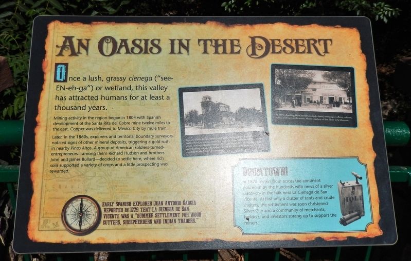
Mining activity in the region began in 1804 with Spanish development of the Santa Rita del Cobre mine twelve miles to the east. Copper was delivered to Mexico City by mule train.
Later, in the 1860s, explorers and territorial boundary surveyors noticed signs of other mineral deposits, triggering a gold rush in nearby Pinos Altos. A group of American soldiers-turned-entrepreneurs — among them Richard Hudson and brothers John and James Bullard — decided to settle here, where rich soils supported a variety of crops and a little prospecting was rewarded.
Early Spanish explorer Juan Antonio Garcia reported in 1779 that La Cienega de San Vicente was a “summer settlement for wood cutters, sheepherders and Indian traders.
Boomtown!
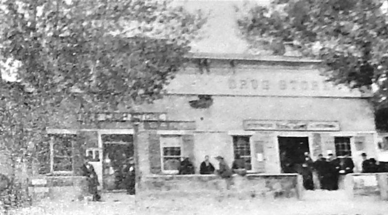
In 1870 miners from across the continent poured in by the hundreds with news of a silver discovery in the hills near La Cienega de San Vicente. At first only a cluster of tents and crude shelters, the settlement was soon christened Silver City and a community of merchants, builders, and investors sprang up to support the miners.
Topics. This historical marker is listed in these topic lists: Exploration • Industry & Commerce • Settlements & Settlers. A significant historical year for this entry is 1804.
Location. 32° 46.221′ N, 108° 16.527′ W. Marker is in Silver City, New Mexico, in Grant County. Marker can be reached from the intersection of North Hudson Street (New Mexico Route 90) and East Yankie Street, on the left when traveling north. Marker is located along the San Vicente Trail, overlooking the "Big Ditch," near the Murray Ryan Visitor Center. Touch for map. Marker is at or near this postal address: 201 North Hudson Street, Silver City NM 88061, United States of America. Touch for directions.
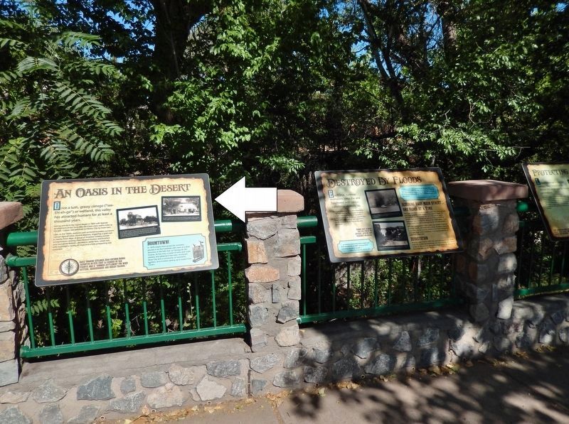
Other nearby markers. At least 8 other markers are within walking distance of this marker. Destroyed by Floods (here, next to this marker); Protecting our Watershed (here, next to this marker); 1870's Log Cabin (within shouting distance of this marker); Anita Scott Coleman (within shouting distance of this marker); Changing Values (within shouting distance of this marker); O.B. McClintock Bank Clock (about 500 feet away, measured in a direct line); Municipal Museum (approx. 0.2 miles away); Silver City Centennial (approx. 0.3 miles away). Touch for a list and map of all markers in Silver City.
Related markers. Click here for a list of markers that are related to this marker. Silver City Big Ditch Park
Also see . . .
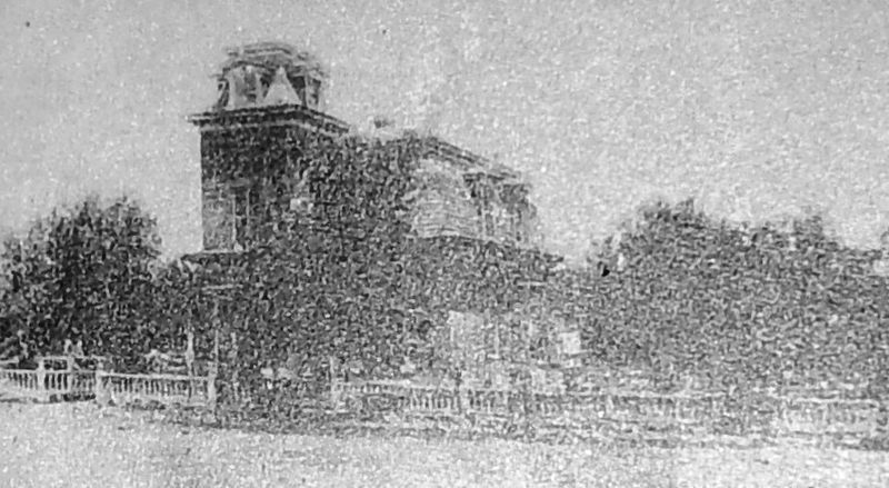
Courtesy Silver City Museum
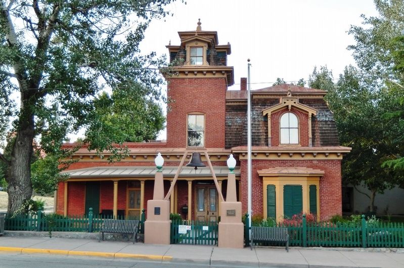
2. Marker detail: Harry B. Ailman House (Silver City Museum)
An early 1880s fire prevention ordinance required new homes to be built of brick or adobe, sending a message of permanence to the outside world. Withstanding the threat of fire and flood, the Harry B. Ailman home on Broadway still stands, today housing the Silver City Museum.
Credits. This page was last revised on March 30, 2021. It was originally submitted on March 30, 2021, by Cosmos Mariner of Cape Canaveral, Florida. This page has been viewed 251 times since then and 28 times this year. Photos: 1, 2, 3, 4, 5. submitted on March 30, 2021, by Cosmos Mariner of Cape Canaveral, Florida.
