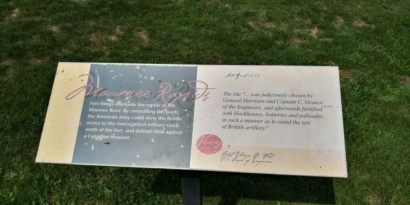
Maumee Rapids
Fort Meigs
Fort Meigs overlooks the rapids of the Maumee River. By controlling this point, the American army could deny the British access to the rivers, control military roads A south of the fort, and defend Ohio against a Canadian invasion.
Voices From The Past
Late April 1813
The site "… was judiciously chosen by
General Harrison and Captain C. Gratiot
of the Engineers, and afterwards fortified
with blockhouses, batteries and palisades,
in such a manner as' to stand the test
of British artillery."
Capt. Eleazer D. Wood
U.S. Corps of Engineers
Topics. This historical marker is listed in these topic lists: Forts and Castles • War of 1812 • Waterways & Vessels. A significant historical month for this entry is April 1813.
Location. 41° 33.231′ N, 83° 39.015′ W. Marker is in Perrysburg, Ohio, in Wood County. Marker can be reached from the intersection of West River Road (Ohio Route 65) and North Ridge Road, on the right when traveling west. Touch for map. Marker is at or near this postal address: 27761 Rapids Rd, Perrysburg OH 43551, United States of America. Touch for directions.
Other nearby markers. At least 8 other markers are within walking distance of this marker. Blockhouses (within shouting distance of this marker); Discipline (within shouting distance of this marker); The Indian Wars (about 300 feet away, measured
Credits. This page was last revised on March 30, 2021. It was originally submitted on March 30, 2021, by Craig Doda of Napoleon, Ohio. This page has been viewed 152 times since then and 22 times this year. Photos: 1, 2. submitted on March 30, 2021, by Craig Doda of Napoleon, Ohio. • Devry Becker Jones was the editor who published this page.

