Near Greenville in Wayne County, Missouri — The American Midwest (Upper Plains)
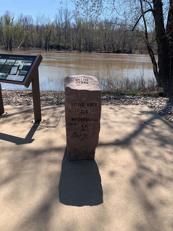
Bettis Ferry
Ferry
Little Rock
236
Natchitoches
471
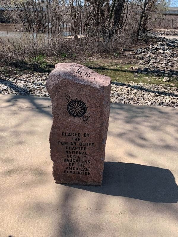
Erected by Poplar Bluff Chapter, National Society, Daughters of the American Revolution.
Topics and series. This historical marker is listed in these topic lists: Industry & Commerce • Waterways & Vessels. In addition, it is included in the Daughters of the American Revolution series list.
Location. 37° 5.76′ N, 90° 27.176′ W. Marker is near Greenville, Missouri, in Wayne County. Marker can be reached from U.S. 67 just north of State Highway FF, on the right when traveling north. Located at the boat ramp within the Greenville Recreation Area. Touch for map. Marker is in this post office area: Greenville MO 63944, United States of America. Touch for directions.
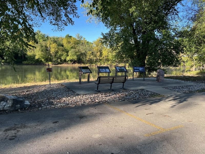
Other nearby markers. At least 8 other markers are within walking distance of this marker. Old Greenville's Flood History (here, next to this marker); Crossing the St. Francis River at Old Greenville (here, next to this marker); Cherokee Trail of Tears (here, next to this marker); Old Greenville in 1840 - On The Road to the Old Southwest (a few steps from this marker); Bedwell Tavern (approx. ¼ mile away); Old Greenville's Timmons Street Business District (approx. ¼ mile away); Memory Lane Trail (approx. ¼ mile away); Old Greenville - Hiram N. Hollady's Company Town (approx. ¼ mile away). Touch for a list and map of all markers in Greenville.
Additional commentary.
1. Inclusion of the Marker
While this marker does not include any historical information, it has been included in the database as part of the Daughters of the American Revolution series.
— Submitted March 30, 2021, by Devry Becker Jones of Washington, District of Columbia.
Credits. This page was last revised on October 27, 2022. It was originally submitted on March 30, 2021, by Thomas Smith of Waterloo, Ill. This page has been viewed 318 times since then and 38 times this year. Photos: 1, 2. submitted on March 30, 2021, by Thomas Smith of Waterloo, Ill. 3. submitted on October 27, 2022, by Craig Swain of Leesburg, Virginia. • Devry Becker Jones was the editor who published this page.


