Downtown in Sioux Falls in Minnehaha County, South Dakota — The American Midwest (Upper Plains)
Cradle of Statehood
Side 1
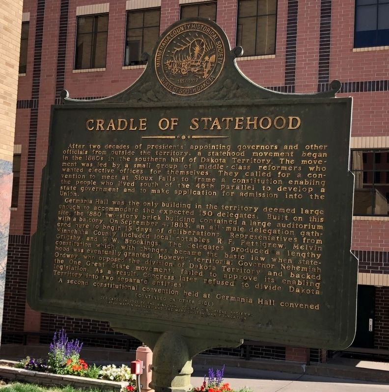
After two decades of presidents' appointing governors and other officials from outside the territory, a statehood movement began in the 1880s in the southern half of Dakota Territory. The movement was led by a small group of middle - class reformers who wanted elective offices for themselves. They called for a convention to meet at Sioux Falls to frame a constitution enabling the people who lived south of the 46th parallel to develop a state government and to make application for admission into the Union.
Germania Hall was the only building in the territory deemed large enough to accommodate the expected 150 delegates. Built on this site, the 1880 two-story brick building contained a large auditorium with a balcony. On September 4, 1883, an all - male delegation gathered here to begin 15 days of deliberations. Representatives from Minnehaha County included local notables R.F. Pettigrew, Melvin Grigsby, and W.W. Brookings. The delegates produced a lengthily constitution which, with changes, became the basic law when statehood was eventually granted. However, territorial Governor Nehemiah Ordway, who opposed the division of Dakota Territory and backed the One Great State movement, failed to approve its enabling legislation. As a result, Congress later refused to divide Dakota Territory into two separate entities. A second constitutional convention held at Germania Hall convened
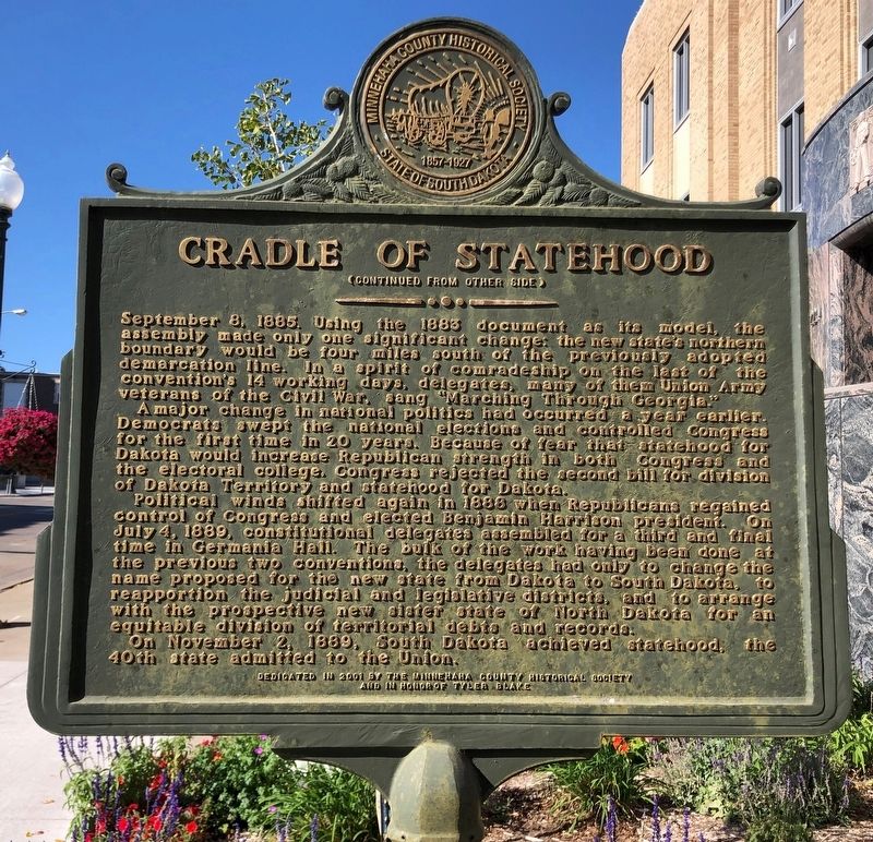
Side 2 September 8, 1885. Using the 1883 document as its model, the assembly made only one significant change: the new state's northern boundary would be four miles south of the previously adopted demarcation line. In a spirit of comradeship on the last of the convention's 14 working days, delegates, many of the Union Army veterans of the Civil War, sang "Marching Through Georgia."
A major change in national politics had occurred a year earlier. Democrats swept the national elections and controlled Congress for the first time in 20 years. Because of fear that statehood for Dakota would increase Republican strength in both Congress and the electoral college, Congress rejected the second bill for division of Dakota Territory and statehood for Dakota.
Political winds shifted again in 1888 when Republicans regained control of Congress and elected Benjamin Harrison president. On July 4, 1889, constitutional delegates assembled for a third and final time in Germania Hall. The bulk of the work having been done at the previous two conventions, the delegates had only to change the name proposed for the new state from Dakota to South Dakota, to reapportion the judicial and legislative districts, and to arrange with the prospective new sister state of North Dakota for an equitable division of territorial debts and records.
On November 2, 1889, South Dakota achieved statehood, the 40th date admitted to the Union.
Erected 2001 by Minnehaha County Historical Society, in Honor of Tyler Blake, Carol Martin Mashek, and the Mary Chilton DAR foundation.
Topics and series. This historical marker is listed in this topic list: Political Subdivisions. In addition, it is included in the Daughters of the American Revolution series list. A significant historical date for this entry is November 2, 1889.
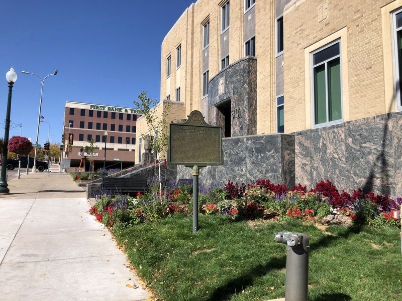
Location. 43° 32.846′ N, 96° 43.755′ W. Marker is in Sioux Falls, South Dakota, in Minnehaha County. It is in Downtown. Marker is at the intersection of West 9th Street and South Dakota Avenue on West 9th Street. Touch for map. Marker is at or near this postal address: 204 West 9th Street, Sioux Falls SD 57104, United States of America. Touch for directions.
Other nearby markers. At least 8 other markers are within walking distance of this marker. Germania Hall (a few steps from this marker); a different marker also named Germania Hall (a few steps from this marker); Dillinger Gang Bank Robbery (within shouting distance of this marker); The 1900 Campaign Whistlestop by Theodore Roosevelt (about 500 feet away, measured in a direct line); First Baptist Church (about 500 feet away); Early Firefighting in Sioux Falls (about 500 feet away); The Cataract (about 600 feet away); Phillips Avenue Plaza (about 600 feet away). Touch for a list and map of all markers in Sioux Falls.
Credits. This page was last revised on February 16, 2023. It was originally submitted on April 1, 2021, by Ruth VanSteenwyk of Aberdeen, South Dakota. This page has been viewed 123 times since then and 15 times this year. Photos: 1, 2, 3. submitted on April 1, 2021, by Ruth VanSteenwyk of Aberdeen, South Dakota. • Bill Pfingsten was the editor who published this page.


