Seguin in Guadalupe County, Texas — The American South (West South Central)
Safford Dam
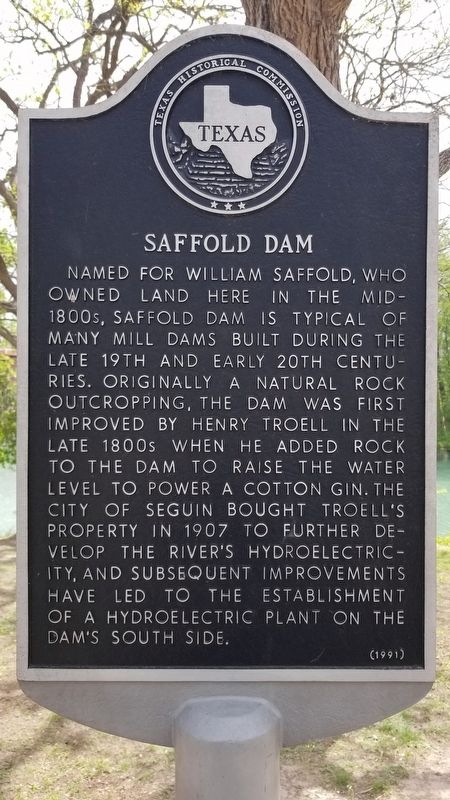
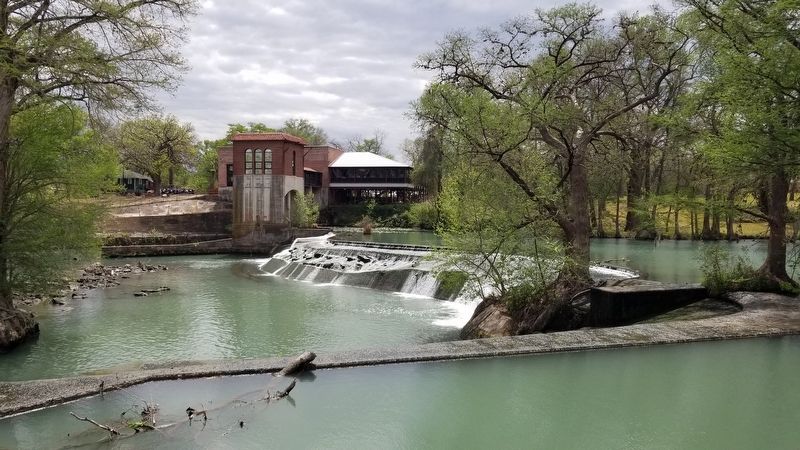
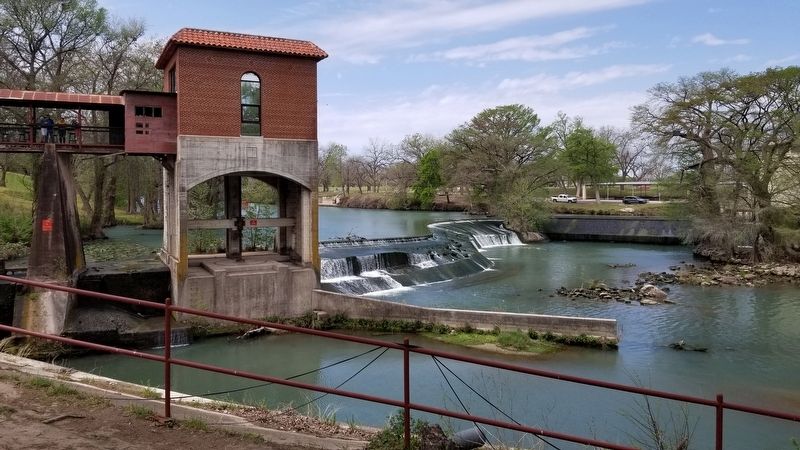
Named for William Saffold, who owned land here in the mid-1800s, Saffold Dam is typical of many mill dams built during the late 19th and early 20th centuries. Originally a natural rock outcropping, the dam was first improved by Henry Troell in the late 1800s when he added rock to the dam to raise the water level to power a cotton gin. The city of Seguin bought Troell's property in 1907 to further develop the river's hydroelectricity, and subsequent improvements have led to the establishment of a hydroelectric plant on the dam's south side.
Erected 1991 by Texas Historical Commission. (Marker Number 4436.)
Topics. This historical marker is listed in this topic list: Waterways & Vessels. A significant historical year for this entry is 1907.
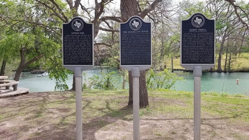
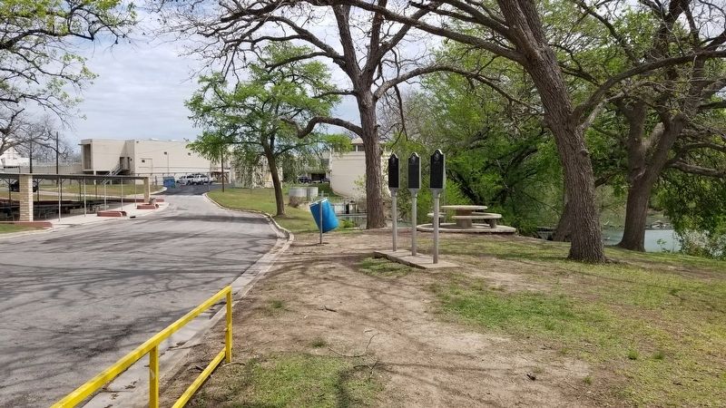
Location. 29° 33.083′ N, 97° 58.288′ W. Marker is in Seguin, Texas, in Guadalupe County. Marker is on River Drive West, 0.1 miles west of South Austin Street (State Highway 123), on the left when traveling west. The marker is located next to the City Water Plant in the Max Starcke Park along two other Historical markers. Touch for map. Marker is at or near this postal address: 102 River Drive West, Seguin TX 78155, United States of America. Touch for directions.
Other nearby markers. At least 8 other markers are within walking distance of this marker. Henry Troell (here, next to this marker); The Guadalupe River (a few steps from this marker); Claiborne West (approx. 0.8 miles away); Ezekiel Smith (approx. 0.8 miles away); Jonathan Douglass (approx. 0.8 miles away); Timothy Pickering Jones (approx. 0.8 miles away); Samuel Millett (approx. 0.9 miles away); John F. McGuffin (approx. 0.9 miles away). Touch for a list and map of all markers in Seguin.
Also see . . . Saffold Dam.
This dam began as a natural outcropping in the riverbed. After Henry Troell bought the mill, the dam was further built up over the years. In 1895, Troell installed hydroelectric generators to power his mill and the town. Then in 1907 he sold the dam and power plant to the City of Seguin, which owns them today. Source: Wikipedia(Submitted on April 2, 2021, by James Hulse of Medina, Texas.)
Credits. This page was last revised on April 2, 2021. It was originally submitted on April 1, 2021, by James Hulse of Medina, Texas. This page has been viewed 202 times since then and 42 times this year. Photos: 1, 2, 3, 4, 5. submitted on April 2, 2021, by James Hulse of Medina, Texas.
