Arthurdale in Preston County, West Virginia — The American South (Appalachia)
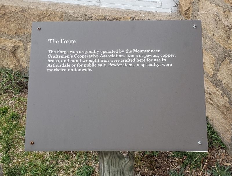
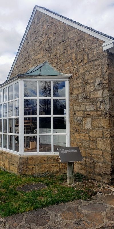
The Forge
Erected 1989 by Arthurdale Heritage, Inc.
Topics. This historical marker is listed in this topic list: Industry & Commerce.
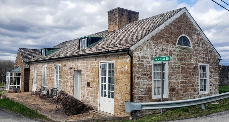
Location. 39° 29.714′ N, 79° 48.919′ W. Marker is in Arthurdale, West Virginia, in Preston County. Marker is at the intersection of A Road and North Mountaineer Highway (West Virginia Route 92), on the right when traveling west on A Road. Touch for map. Marker is at or near this postal address: 24 A Road, Arthurdale WV 26520, United States of America. Touch for directions.
Other nearby markers. At least 8 other markers are within walking distance of this marker. Administration Building (a few steps from this marker); Community At Arthurdale (within shouting distance of this marker); Service Station (within shouting distance of this marker); The Great Hall (within shouting distance of this marker); The Community Center (within shouting distance of this marker); Honor Roll (within shouting distance of this marker); History of the Houses (within shouting distance of this marker); Arthurdale (about 300 feet away, measured in a direct line). Touch for a list and map of all markers in Arthurdale.
Credits. This page was last revised on April 6, 2021. It was originally submitted on April 2, 2021, by Bradley Owen of Morgantown, West Virginia. This page has been viewed 122 times since then and 13 times this year. Photos: 1, 2. submitted on April 2, 2021, by Bradley Owen of Morgantown, West Virginia. 3. submitted on April 4, 2021, by Bradley Owen of Morgantown, West Virginia. 4. submitted on April 2, 2021, by Bradley Owen of Morgantown, West Virginia. • Devry Becker Jones was the editor who published this page.


