Versailles in Woodford County, Kentucky — The American South (East South Central)
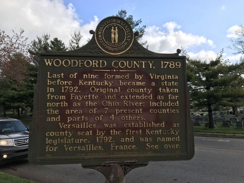
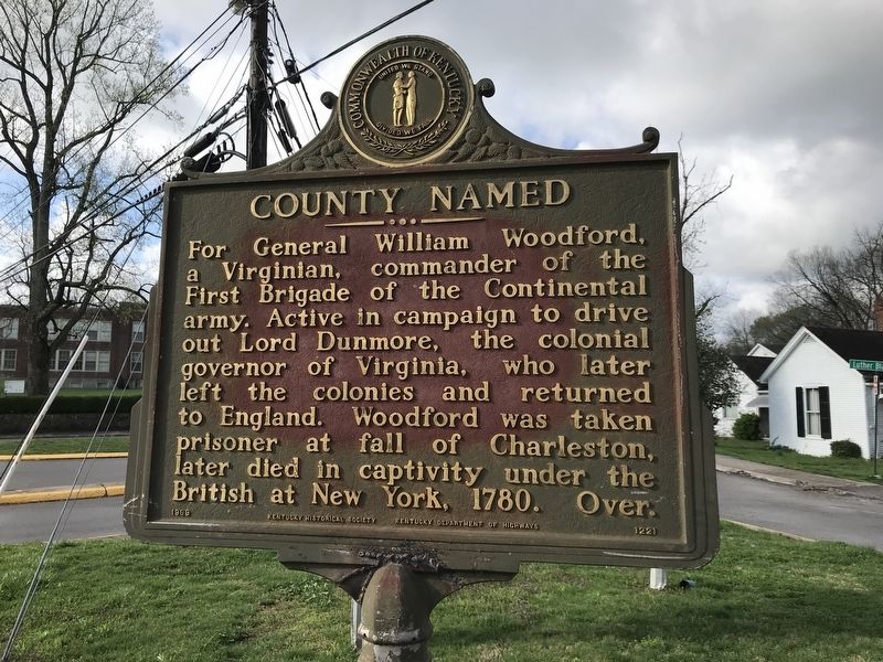
Woodford County, 1789 / County Named
Versailles was established as county seat by the first Kentucky legislature, 1792, and was named for Versailles, France.
Erected 1969 by Kentucky Historical Society and Kentucky Department of Highways. (Marker Number 1221.)
Topics and series. This historical marker is listed in these topic lists: Political Subdivisions • War, US Revolutionary. In addition, it is included in the Kentucky Historical Society series list. A significant historical year for this entry is 1789.
Location. 38° 2.987′ N, 84° 43.84′ W. Marker is in Versailles, Kentucky, in Woodford County . Marker is at the intersection of South Main Street and Macey Avenue, on the right when traveling south on South Main Street. Touch for map. Marker is at or near this postal address: 275 South Main Street, Versailles KY 40383, United States of America. Touch for directions.
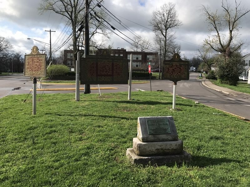
Other nearby markers. At least 8 other markers are within walking distance of this marker. Randall Lee Gibson / Jerome Bonaparte Robertson (here, next to this marker); Woodford County's Civil War Generals (here, next to this marker); Big Spring Church (about 700 feet away, measured in a direct line); Sen. Joseph C. S. Blackburn (approx. 0.2 miles away); Watkins Tavern (approx. 0.2 miles away); Woodford County Courthouses (approx. 0.2 miles away); Josephine Henry (approx. ¼ mile away); Freemasonry in Versailles (approx. 0.3 miles away). Touch for a list and map of all markers in Versailles.
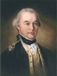
Also see . . . William Woodford | American Battlefield Trust. Overview of Woodford'a military career, from the French and Indian War to his death aboard a British prison ship during the American Revolution. (Submitted on April 3, 2021, by Duane and Tracy Marsteller of Murfreesboro, Tennessee.)
Credits. This page was last revised on April 3, 2021. It was originally submitted on April 3, 2021, by Duane and Tracy Marsteller of Murfreesboro, Tennessee. This page has been viewed 247 times since then and 56 times this year. Photos: 1, 2, 3, 4. submitted on April 3, 2021, by Duane and Tracy Marsteller of Murfreesboro, Tennessee.


