Near Versailles in Woodford County, Kentucky — The American South (East South Central)
Mt. Vernon Baptist Church
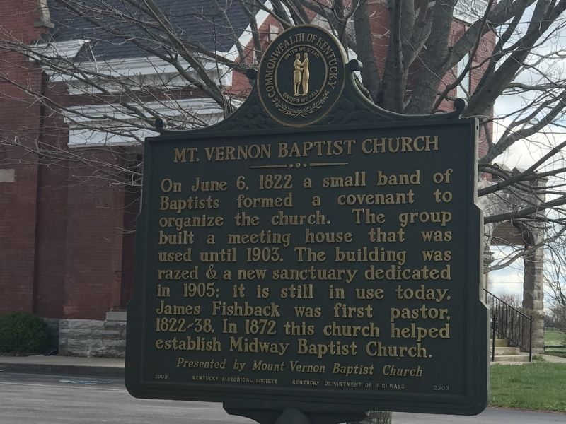
Photographed by Duane and Tracy Marsteller, March 28, 2021
1. Mt. Vernon Baptist Church Marker
Erected 2009 by Kentucky Historical Society and Kentucky Department of Highways. (Marker Number 2303.)
Topics and series. This historical marker is listed in this topic list: Religion & Religious Structures. In addition, it is included in the Kentucky Historical Society series list. A significant historical date for this entry is June 6, 1822.
Location. 38° 6.311′ N, 84° 39.076′ W. Marker is near Versailles, Kentucky, in Woodford County. It is at the intersection of Old Frankfort Pike (Kentucky Route 1681) and Pisgah Pike ( Route 1967), on the right when traveling west on Old Frankfort Pike. Touch for map. Marker is at or near this postal address: 1220 Old Frankfort Pike, Versailles KY 40383, United States of America. Touch for directions.

Regionally, this marker
this page online
Other nearby markers. At least 8 other markers are within 4 miles of this marker, measured as the crow flies: Zion Hill / Zion Hill School (approx. 1.3 miles away); Caleb Wallace's Law Office (approx. 1.8 miles away); Zion Hill Community (approx. 1.8 miles away); History of Weisenberger Mill (approx. 1.8 miles away); The John Graham House (approx. 2.7 miles away); Offutt-Cole Tavern (approx. 2.9 miles away); Second Christian Church, Midway (approx. 3.2 miles away); Midway Freedman's School (approx. 3.2 miles away).
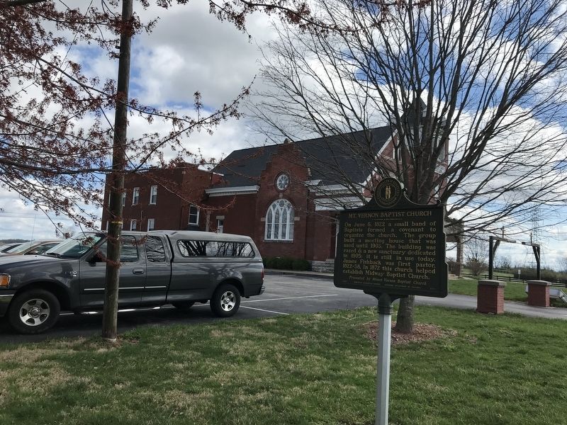
Photographed by Duane and Tracy Marsteller, March 28, 2021
2. Mt. Vernon Baptist Church Marker
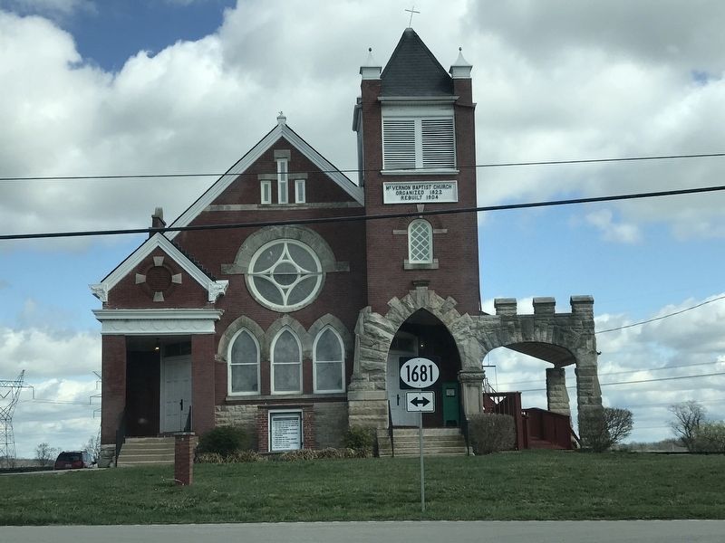
Photographed by Duane and Tracy Marsteller, March 28, 2021
3. Mt. Vernon Baptist Church
As seen from across Old Frankfort Pike.
Credits. This page was last revised on April 3, 2021. It was originally submitted on April 3, 2021, by Duane and Tracy Marsteller of Murfreesboro, Tennessee. This page has been viewed 681 times since then and 63 times this year. Photos: 1, 2, 3. submitted on April 3, 2021, by Duane and Tracy Marsteller of Murfreesboro, Tennessee.
