Hanover in Hanover County, Virginia — The American South (Mid-Atlantic)
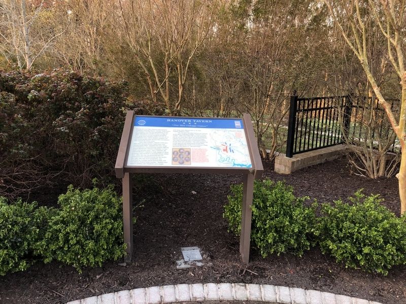
Hanover Tavern
"This Most Unhappy Contest"
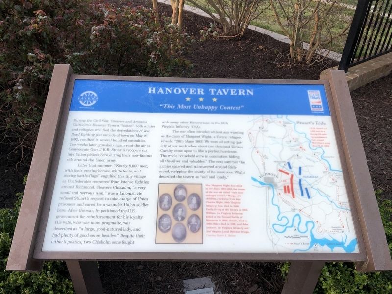
During the Civil War, Cleavers and Amanda Chisholm's Hanover Tavern "hosted" both armies and refugees who fled the depredations of war. Hard fighting just outside of town on May 27, 1862 resulted in several hundred casualties. Two weeks later, gunshots again rent the air as Confederate Gen. J.E.B. Stuart's troopers ran into Union pickets here during their now-famous ride around the Union army.
Later that summer, "Nearly 8,000 men, with their grazing horses, white tents, and waving battle-flags" engulfed this tiny village as Confederates recovered from intense fighting around Richmond. Cleavers Chisholm, "a very small and nervous man," was a Unionist. He refused Stuart's request to take charge of Union prisoners and cared for a wounded Union soldier here. After the war, he petitioned the U.S. government for reimbursement for his loyalty. His wife, who was more pragmatic, was described as "a large, good-natured lady, and had plenty of good sense besides." Despite their father's politics, two Chisholm's sons fought with many other Hanoverians in the 15th Virginia Infantry (CSA).
The war often intruded without any warning as the diary of Margaret Wight, a Tavern refugee, reveals: "26th [June 1863] We were all sitting quietly at our work when about two thousand Yankee Cavalry came upon us like a perfect hurricane. The whole household were in commotion hiding all the silver and valuables." The next summer the armies sparred and maneuvered around Richmond, stripping the county of its resources. Wight described the tavern as "sad and lonely."
[Captions:]
Mrs. Margaret Wight described in her diary, 1863-1865, the events of the war she called "this most unhappy contest." Margaret's children, clockwise from top: Charles Wight, 58th Virginia Infantry; Ann, died in 1890; Emily, living at the Tavern in 1863; William, 1st Virginia Infantry; killed at the Second Battle of Manassas in 1862; Jennie, died in 1862; Mary, died in 1861; and John (center), 1st Infantry and 3rd Local Defense Troops. Courtesy Robert E. Haines
Stuart's Ride
J.E.B. Stuart led 1,200 men in a daring 100-mile reconnaissance ride around McClellan's army June 12-15, 1862.
Erected by Virginia Civil War Trails; Hanover Tavern Foundation.
Topics and series. This historical marker is listed in these topic lists: Industry & Commerce • War, US Civil. In addition, it is included in the Virginia Civil War Trails series list. A significant historical date for this entry is May 27, 1862.
Location. 37° 45.733′ N, 77° 22.045′ W. Marker is in Hanover, Virginia, in Hanover County. Marker
Other nearby markers. At least 8 other markers are within walking distance of this marker. A different marker also named Hanover Tavern (a few steps from this marker); a different marker also named Hanover Tavern (within shouting distance of this marker); The Fields Family (about 300 feet away, measured in a direct line); Hanover Confederate Soldiers Monument (about 300 feet away); Hanover Courthouse (about 300 feet away); a different marker also named Hanover Courthouse (about 400 feet away); Patrick Henry (about 400 feet away); The Colonial River Road (approx. 0.9 miles away). Touch for a list and map of all markers in Hanover.
Related marker. Click here for another marker that is related to this marker. This marker has replaced the linked marker.

Photographed By Devry Becker Jones (CC0), April 3, 2021
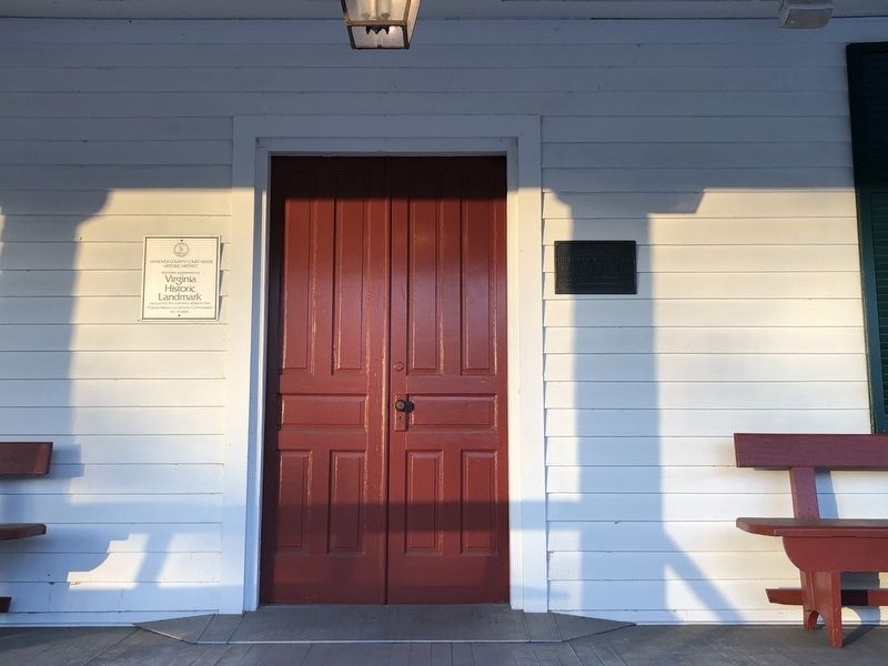
3. The Virginia Historic Landmark and Historic American Buildings Survey plaques hang near the door.
Credits. This page was last revised on March 14, 2024. It was originally submitted on April 3, 2021, by Devry Becker Jones of Washington, District of Columbia. This page has been viewed 380 times since then and 56 times this year. Photos: 1, 2, 3. submitted on April 3, 2021, by Devry Becker Jones of Washington, District of Columbia.

