Near Paris in Bourbon County, Kentucky — The American South (East South Central)
Townsend Springs Farm
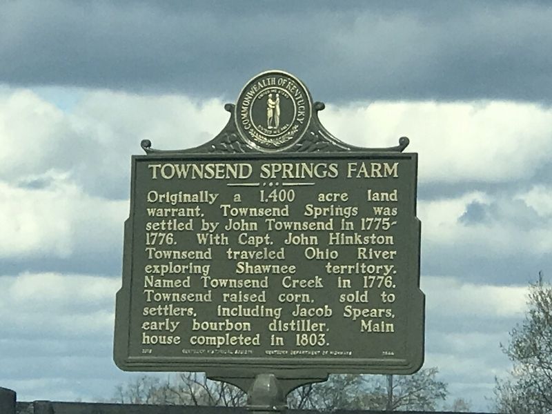
Originally a 1,400 acre land warrant, Townsend Springs was settled by John Townsend in 1775-1776. With Capt. John Hinkston Townsend traveled Ohio River exploring Shawnee territory. Named Townsend Creek in 1776. Townsend raised corn, sold to settlers, including Jacob Spears, early bourbon distiller. Main house completed in 1803.
Erected 2018 by Kentucky Historical Society and Kentucky Department of Highways. (Marker Number 2544.)
Topics and series. This historical marker is listed in these topic lists: Agriculture • Exploration • Settlements & Settlers. In addition, it is included in the Kentucky Historical Society series list. A significant historical year for this entry is 1776.
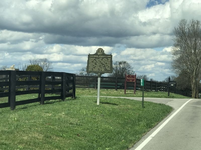
Location. 38° 14.721′ N, 84° 22.816′ W. Marker is near Paris, Kentucky, in Bourbon County. Marker is on Russell Cave Road (Kentucky Route 353) 0.3 miles south of Hawkins-Cummins Road, on the right when traveling south. Touch for map. Marker is at or near this postal address: 571 Russell Cave Road, Paris KY 40361, United States of America. Touch for directions.
Other nearby markers. At least 8 other markers are within 7 miles of this marker, measured as the crow flies. Silas Baptist Church (approx. 1.9 miles away); Centerville Baptist Church (approx. 1.9 miles away); Frankfort & Cincinnati Railroad / The Depot Centreville - Stop 32 (approx. 2.1 miles away); Johnston's Inn (approx. 2.3 miles away); Bourbon Whiskey / Jacob Spears (approx. 4.8 miles away); Miller's Run Historic District (approx. 6.9 miles away); Bourbon County Confederate Memorial (approx. 6.9 miles away); Paris Cemetery Co. Inc. Trail (approx. 7 miles away). Touch for a list and map of all markers in Paris.
Also see . . . Townsend Springs Farm. Explore Kentucky History website entry (Submitted on April 4, 2021, by Duane and Tracy Marsteller of Murfreesboro, Tennessee.)
Credits. This page was last revised on January 7, 2022. It was originally submitted on April 3, 2021, by Duane and Tracy Marsteller of Murfreesboro, Tennessee. This page has been viewed 170 times since then and 33 times this year. Photos: 1, 2. submitted on April 3, 2021, by Duane and Tracy Marsteller of Murfreesboro, Tennessee.

