Romulus in Wayne County, Michigan — The American Midwest (Great Lakes)
Samuel Tobyne - 1827
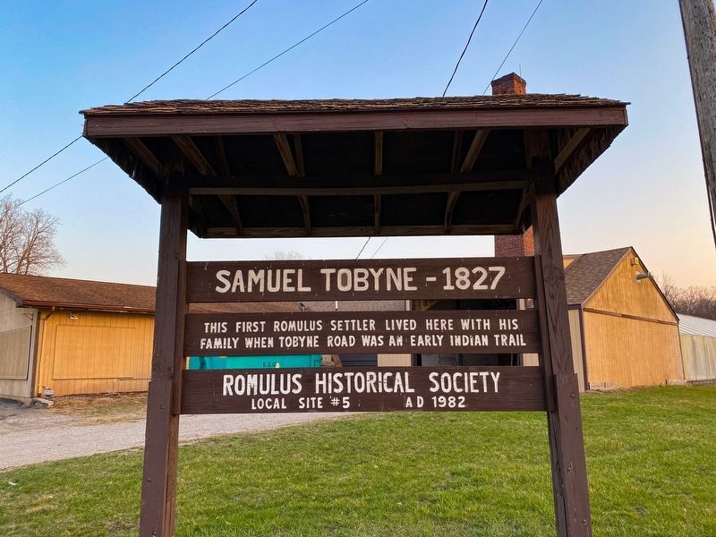
Photographed by J.T. Lambrou, April 3, 2021
1. Samuel Tobyne - 1827 Marker
Erected 1982 by Romulus Historical Society. (Marker Number 5.)
Topics. This historical marker is listed in this topic list: Settlements & Settlers. A significant historical year for this entry is 1827.
Location. 42° 16.028′ N, 83° 20.469′ W. Marker is in Romulus, Michigan, in Wayne County. It is at the intersection of Henry Ruff Road and Van Born Road, on the left when traveling south on Henry Ruff Road. Marker is located in front of Rush Garden Center. Touch for map. Marker is at or near this postal address: 30617 Henry Ruff Rd, Romulus MI 48174, United States of America. Touch for directions.

Regionally, this marker is in Southeast Michigan and in Greater Detroit. It is also in the American Midwest. Globally, it is in North America, on the Great Lakes, in the Western Hemisphere, in the Western World, and in the Anglosphere. Historically, it finds itself in what was once the Viceroyalty of New France and also the Northwest Territory.
Other nearby markers. At least 8 other markers are within 3 miles of this
this page online
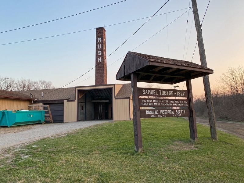
Photographed by J.T. Lambrou, April 3, 2021
2. Samuel Tobyne - 1827 Marker seen from Henry Ruff Road
Credits. This page was last revised on April 5, 2021. It was originally submitted on April 4, 2021, by J.T. Lambrou of New Boston, Michigan. This page has been viewed 458 times since then and 37 times this year. Photos: 1, 2. submitted on April 4, 2021, by J.T. Lambrou of New Boston, Michigan. • Mark Hilton was the editor who published this page.
