Near Lancaster in Garrard County, Kentucky — The American South (East South Central)
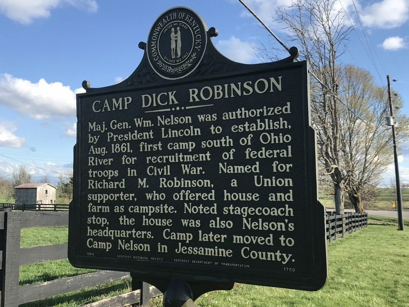
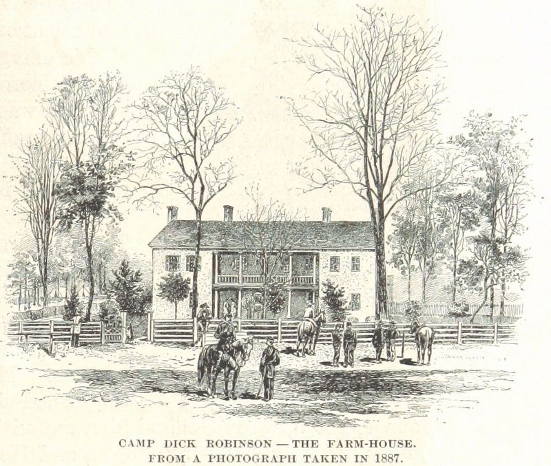
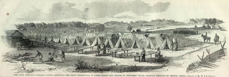
Camp Dick Robinson
Erected 1984 by Kentucky Historical Society and Kentucky Department of Transportation. (Marker Number 1750.)
Topics and series. This historical marker is listed in this topic list: War, US Civil. In addition, it is included in the Kentucky Historical Society series list. A significant historical month for this entry is August 1861.
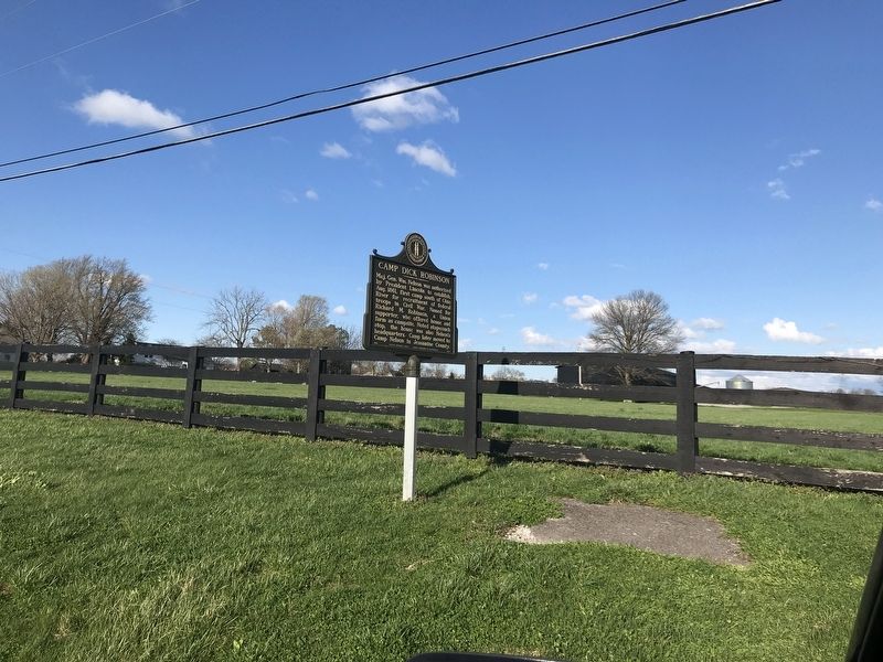
Location. 37° 41.575′ N, 84° 39.718′ W. Marker is near Lancaster, Kentucky, in Garrard County. Marker is on Camp Dick Road North north of Kentucky Route 34, on the right when traveling north. Touch for map. Marker is at or near this postal address: 138 Camp Dick Road North, Bryantsville KY 40410, United States of America. Touch for directions.
Other nearby markers. At least 8 other markers are within 7 miles of this marker, measured as the crow flies. Birthplace of Carry A. Nation / Lady with the Hatchet (approx. one mile away); James Thompson, 1750-1825 (approx. 1˝ miles away); Forks of Dix River Baptist Church (approx. 1.6 miles away); J.S. Wallace House (approx. 5˝ miles away); Fisher's Garrison (approx. 6 miles away); Clark's Station (approx. 6˝ miles away); Old Crow Inn / John Crow (approx. 6.6 miles away); John William Bate (approx. 6.6 miles away). Touch for a list and map of all markers in Lancaster.
Also see . . . Camp Dick Robinson (Wikipedia). (Submitted on April 4, 2021, by Duane and Tracy Marsteller of Murfreesboro, Tennessee.)
Credits. This page was last revised on April 4, 2021. It was originally submitted on April 4, 2021, by Duane and Tracy Marsteller of Murfreesboro, Tennessee. This page has been viewed 429 times since then and 70 times this year. Photos: 1, 2, 3, 4. submitted on April 4, 2021, by Duane and Tracy Marsteller of Murfreesboro, Tennessee.


