Near Danville in Boyle County, Kentucky — The American South (East South Central)
Pioneer Methodist Preacher
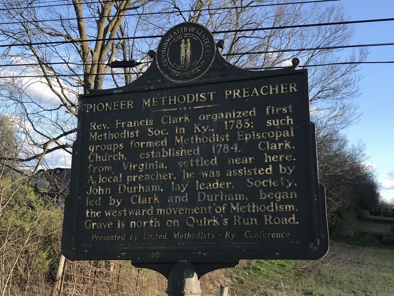
Photographed by Duane and Tracy Marsteller, March 28, 2021
1. Pioneer Methodist Preacher Marker
Erected 1985 by Kentucky Historical Society and Kentucky Department of Transportation. (Marker Number 1772.)
Topics and series. This historical marker is listed in this topic list: Religion & Religious Structures. In addition, it is included in the Kentucky Historical Society series list. A significant historical year for this entry is 1783.
Location. 37° 39.123′ N, 84° 53.03′ W. Marker is near Danville, Kentucky, in Boyle County. It is at the intersection of Perryville Road (U.S. 150) and Quirks Run Road (Kentucky Route 1822), on the right when traveling east on Perryville Road. Touch for map. Marker is in this post office area: Danville KY 40422, United States of America. Touch for directions.

Regionally, this marker is in the Bluegrass
this page online
Other nearby markers. At least 8 other markers are within 4 miles of this marker, measured as the crow flies: Crawford House (approx. 3.1 miles away); Crawford Springs (approx. 3.1 miles away); Site of First Rural Electric Co-Op Substation in County (approx. 3.2 miles away); Boyle House (approx. 3.6 miles away); The Perryville Methodist Church (approx. 3.7 miles away); Robert McNutt McElroy (approx. 3.7 miles away); Nina Bruce Warren Clooney (approx. 3.7 miles away); Lt. Col. Charles C. Bond (approx. 3.7 miles away).
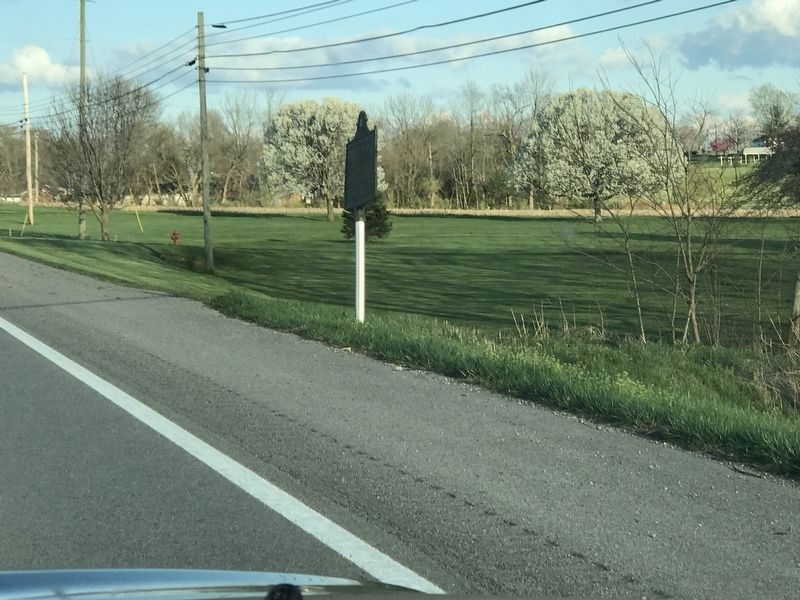
Photographed by Duane and Tracy Marsteller, March 28, 2021
2. Pioneer Methodist Preacher Marker
Credits. This page was last revised on April 4, 2021. It was originally submitted on April 4, 2021, by Duane and Tracy Marsteller of Murfreesboro, Tennessee. This page has been viewed 412 times since then and 31 times this year. Photos: 1, 2. submitted on April 4, 2021, by Duane and Tracy Marsteller of Murfreesboro, Tennessee.
