Louisa in Louisa County, Virginia — The American South (Mid-Atlantic)
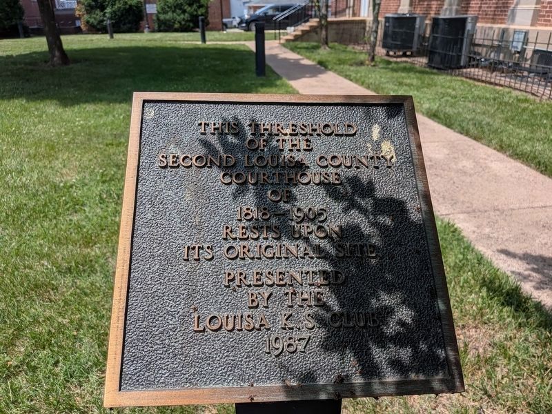
Second Louisa County Courthouse Threshold
Photographed by Evan Dwyer, June 11, 2026
1. Second Louisa County Courthouse Threshold Marker
Erected 1987 by Louisa K.S. Club.
Topics. This historical marker is listed in this topic list: Government & Politics.
Location. 38° 1.489′ N, 78° 0.202′ W. Marker is in Louisa, Virginia, in Louisa County. It is on West Main Street (Route 33) just south of Elm Street, on the left when traveling north. Touch for map. Marker is at or near this postal address: 102 W Main St, Louisa VA 23093, United States of America. Touch for directions.

Regionally, this marker is in the Piedmont and in Central Virginia. It is also in the American South and specifically in the Upper South. Globally, it is in North America, the Western Hemisphere, the Western World, and the Anglosphere. Historically, it finds itself in what was once the territory of the Mississippian Culture, one of the original Thirteen Colonies, one of the Confederate States of America, and the Antebellum South.
Other nearby markers. At least 8 other markers are within walking distance of this marker: Patrick Henry's Home
this page online
Another marker is no longer nearby. Louisa Court House (was here, next to this marker but has been replaced with another marker now near it).
Also see . . . Photo of 1818 Courthouse. From a Danne Family Album, Louisa County Historical Society Archives. To comply with the rights and reproduction policy for this photograph, it is linked here rather than reproduced. (Submitted on August 12, 2026, by Evan Dwyer of Richmond, Virginia.)
Photographed by Devry Becker Jones (CC0), April 3, 2021
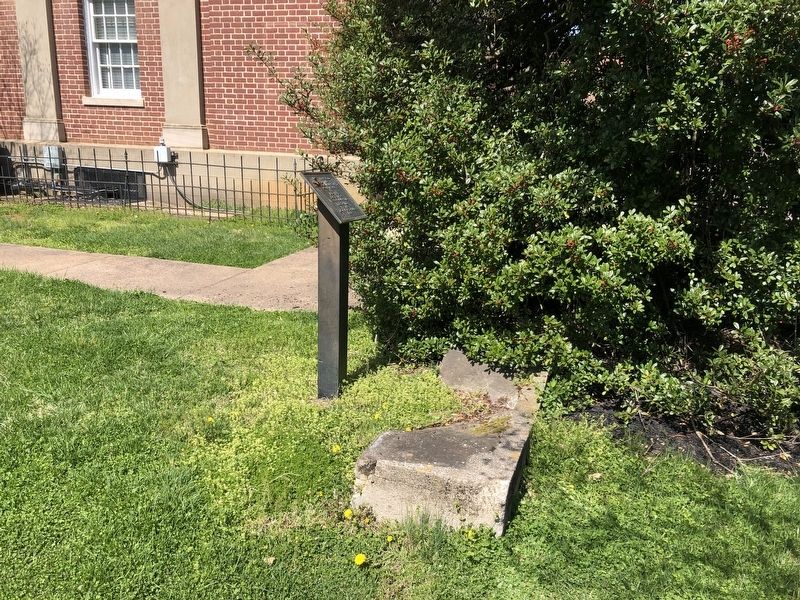
2. Second Louisa County Courthouse Threshold
Photographed by Jennifer Manch, March 1, 2025
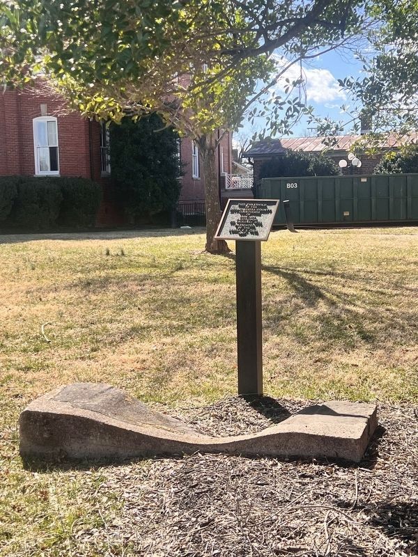
3. Second Louisa County Courthouse Threshold Marker
Photographed by Evan Dwyer, June 11, 2026
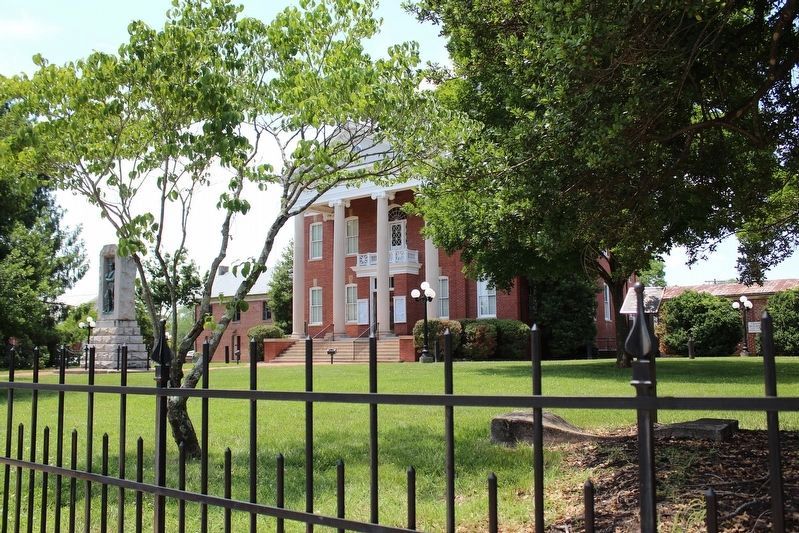
4. Second Louisa County Courthouse Threshold & 'New' Courthouse
The threshold (and marker) are at right, while the location of the 1905 courthouse (standing in the distance) in context to the 1818 Courthouse's location is apparent.
Credits. This page was last revised on August 13, 2026. It was originally submitted on April 4, 2021, by Devry Becker Jones of Washington, District of Columbia. This page has been viewed 362 times since then and 27 times this year. Photos: 1. submitted on August 13, 2026, by Evan Dwyer of Richmond, Virginia. 2. submitted on April 4, 2021, by Devry Becker Jones of Washington, District of Columbia. 3. submitted on March 2, 2025, by Jennifer Manch of Charlottesville, Virginia. 4. submitted on August 12, 2026, by Evan Dwyer of Richmond, Virginia.
