Calvert City in Marshall County, Kentucky — The American South (East South Central)
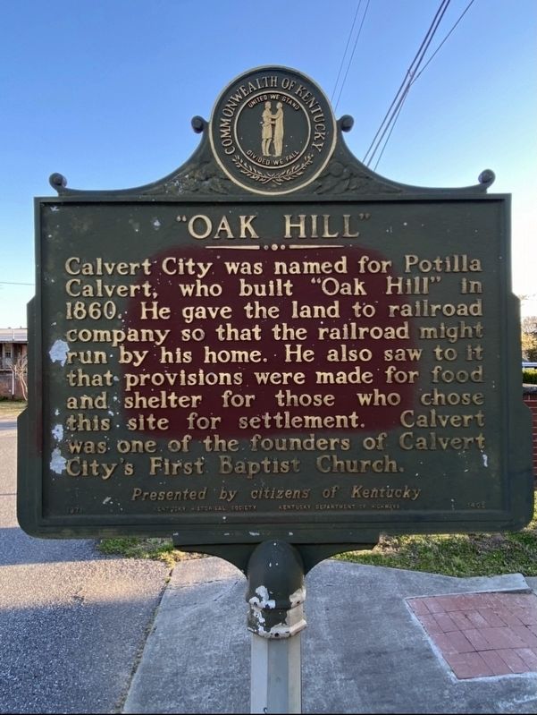
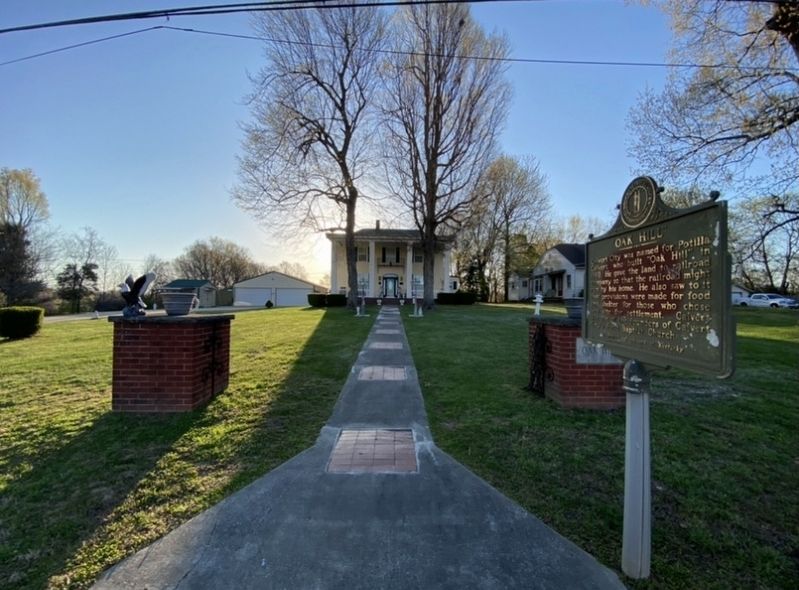
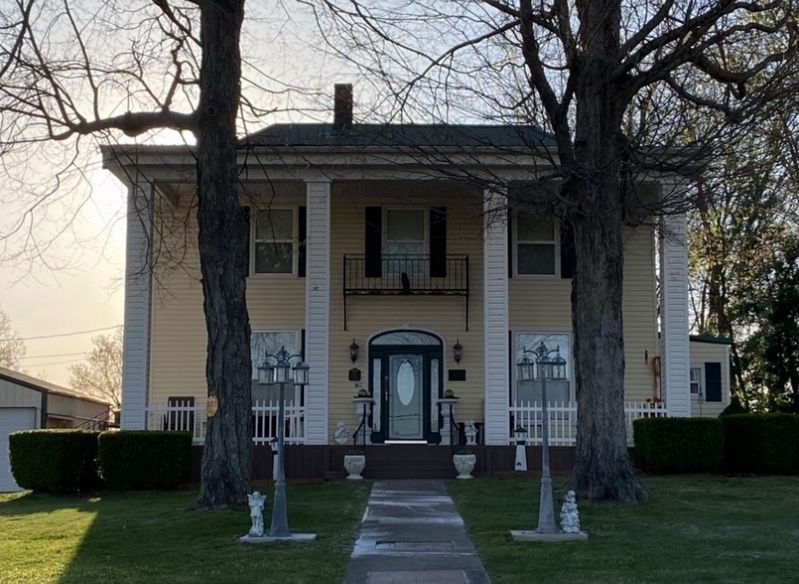
"Oak Hill"
Erected 1971 by Kentucky Historical Society and Kentucky Department of Highways. (Marker Number 1405.)
Topics and series. This historical marker is listed in these topic lists: Churches & Religion • Railroads & Streetcars • Settlements & Settlers. In addition, it is included in the Kentucky Historical Society series list. A significant historical year for this entry is 1860.
Location. 37° 1.885′ N, 88° 20.876′ W. Marker is in Calvert City, Kentucky, in Marshall County. Marker is on Aspen Street Southeast just south of Railroad Avenue Southeast, on the left when traveling south. Touch for map. Marker is at or near this postal address: 14 Aspen St SE, Calvert City KY 42029, United States of America. Touch for directions.
Other nearby markers. At least 8 other markers are within 9 miles of this marker, measured as the crow flies. Grand Rivers Iron Furnace (approx. 6.1 miles away); Grand Rivers Furnace / Iron Made in Kentucky (approx. 6.4 miles away); Spout Spring (approx. 7.8 miles away); Livingston County Courthouse (approx. 8.1 miles away); A Civil War Base (approx. 8.1 miles away); County Named, 1798 (approx. 8.1 miles away); Methodist Church (approx. 8.2 miles away); Federal Commissary Building (approx. 8.2 miles away).
Credits. This page was last revised on April 5, 2021. It was originally submitted on April 4, 2021, by Darren Jefferson Clay of Duluth, Georgia. This page has been viewed 222 times since then and 27 times this year. Photos: 1, 2, 3. submitted on April 4, 2021, by Darren Jefferson Clay of Duluth, Georgia. • Devry Becker Jones was the editor who published this page.


