Paducah, Kentucky / McCracken County
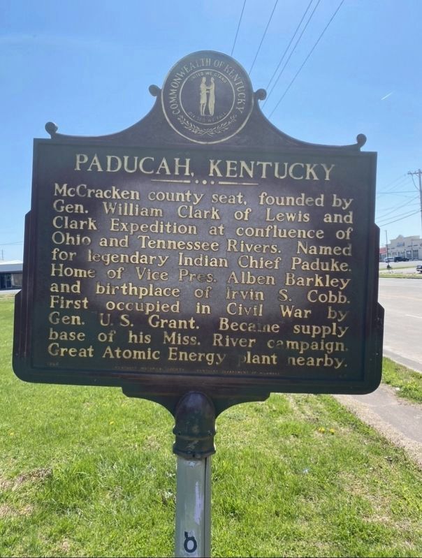
Paducah, Kentucky. McCracken county seat, founded by Gen. William Clark of Lewis and Clark Expedition at confluence of Ohio and Tennessee Rivers. Named for legendary Indian Chief Paduke. Home of Vice Pres. Alben Barkley and birthplace of Irvin S. Cobb. First occupied in Civil War by Gen. U. S. Grant. Becaine supply base of his Miss. River campaign. Great Atomic Energy plant nearby.
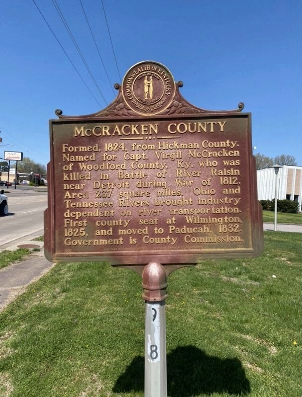
McCracken County.
Formed, 1824, from Hickman County.
Named for Capt. Virgil McCracken
of Woodford County, Ky. who was
killed in Battle of River Raisin
near Detroit during War of 1812.
Area 237 square miles. Ohio and
Tennessee Rivers brought industry
dependent on river transportation.
First county seat at Wilmington,
1825, and moved to Paducah, 1832.
Government is County Commission.
Erected 1966 by Kentucky Historical Society and Kentucky Department of Highways. (Marker Number 919.)
Topics and series. This historical marker is listed in these topic lists: Native Americans • Political Subdivisions • Settlements & Settlers • War of 1812. In addition, it is included in the Kentucky Historical Society series list. A significant historical year for this entry is 1824.
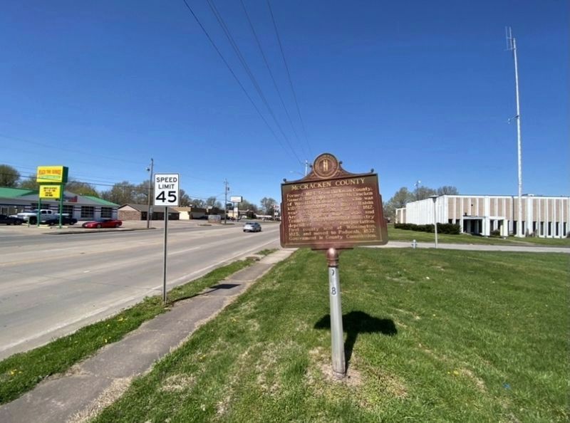
Location. 37° 3.322′ N, 88° 34.301′
Other nearby markers. At least 8 other markers are within 3 miles of this marker, measured as the crow flies. Confederate Flag of Welcome / Rescue of Flag (approx. 1.1 miles away); Clark's Army Camped / Clark's Land (approx. 1˝ miles away); Paducah Furnace / Iron Made in Kentucky (approx. 1.9 miles away); Col. Ed Murray's Home (approx. 2.1 miles away); Burks Chapel A.M.E. Church (approx. 2.2 miles away); 8th of August (approx. 2.3 miles away); Cobb's Birth Site (approx. 2.4 miles away); Global War on Terrorism Memorial (approx. 2.4 miles away). Touch for a list and map of all markers in Paducah.
Credits. This page was last revised on April 5, 2021. It was originally submitted on April 4, 2021, by Darren Jefferson Clay of Duluth, Georgia. This page has been viewed 138 times since then and 13 times this year. Photos: 1, 2, 3. submitted on April 4, 2021, by Darren Jefferson Clay of Duluth, Georgia. • Devry Becker Jones was the editor who published this page.


