
New Berlin in Chenango County, New York — The American Northeast (Mid-Atlantic)
Gratz Tract
Photographed by Lori Paparteys, April 4, 2021
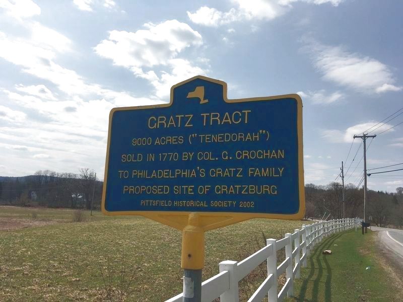
1. Gratz Tract Marker
9000 acres ("Tenedorah") sold in 1770 by Col. G. Croghan to Philadelphia's Gratz family proposed site of Gratzburg.
Erected 2002 by Pittsfield Historical Society.
Topics. This historical marker is listed in this topic list: Notable Places. A significant historical year for this entry is 1770.
Location. 42° 37.602′ N, 75° 19.464′ W. Marker is in New Berlin, New York, in Chenango County. It is on New York State Route 80 0.1 miles west of County Route 18, on the left when traveling west. Touch for map. Marker is in this post office area: New Berlin NY 13411, United States of America. Touch for directions.

Regionally, this marker is in Upstate New York and in the Southern Tier. It is also in the American Northeast, in the Mid-Atlantic, in Appalachia, and specifically in Northern Appalachia. Globally, it is in North America, the Western Hemisphere, the Western World, and the Anglosphere. Historically, it finds itself in what was once New Netherland and also one of the original Thirteen Colonies.
Other nearby markers. At least 8 other markers are within walking distance of this marker: Hoboken (about 700 feet
this page online
Photographed by Lori Paparteys, April 4, 2021
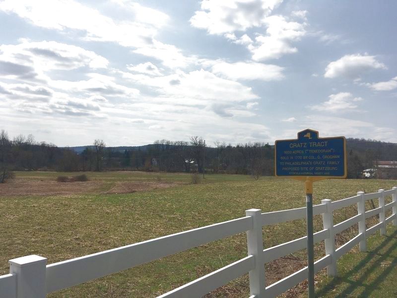
2. Gratz Tract
Marker and the land around it.
Credits. This page was last revised on April 5, 2021. It was originally submitted on April 4, 2021, by Lori Paparteys of Oneonta, New York. This page has been viewed 382 times since then and 13 times this year. Photos: 1, 2. submitted on April 4, 2021, by Lori Paparteys of Oneonta, New York. • Michael Herrick was the editor who published this page.
