Hernando in DeSoto County, Mississippi — The American South (East South Central)
Hernando
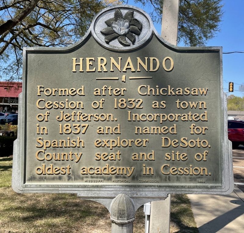
Photographed by Mark Hilton, April 2, 2021
1. Hernando Marker
Erected 1949 by Mississippi Historical Commission.
Topics and series. This historical marker is listed in this topic list: Settlements & Settlers. In addition, it is included in the Mississippi State Historical Marker Program series list. A significant historical year for this entry is 1832.
Location. 34° 49.389′ N, 89° 59.657′ W. Marker is in Hernando, Mississippi, in DeSoto County. It is on U.S. 51 south of West Commerce Street, on the right when traveling south. Located at the DeSoto County Courthouse. Touch for map. Marker is at or near this postal address: 2535 US-51, Hernando MS 38632, United States of America. Touch for directions.

Regionally, this marker is in the American South, specifically in the Deep South, in the Mississippi Delta, and in the Great River Road Region. Globally, it is in North America, a Gulf of Mexico state, the Western Hemisphere, the Western World, and the Anglosphere. Historically, it finds itself in
this page online
Other nearby markers. At least 8 other markers are within walking distance of this marker: Historic artwork in this courthouse portrays our regions past (within shouting distance of this marker); Trade helped the Indians develop ties with Hernando de Soto (within shouting distance of this marker); The Dickinson Family (about 400 feet away, measured in a direct line); 421 Commerce Street (about 700 feet away); 449 Commerce Street (approx. 0.2 miles away); "Beale Town Bound" (approx. 0.2 miles away); Baptist Industrial College (approx. 0.4 miles away); Colonel Samuel Powel (approx. 0.6 miles away). Touch for a list and map of all markers in Hernando.
Also see . . . Wikipedia article on the history of Hernando. (Submitted on April 6, 2021, by Mark Hilton of Montgomery, Alabama.)
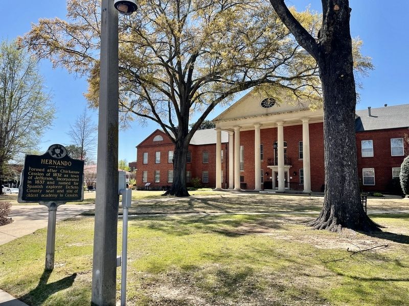
Photographed by Mark Hilton, April 2, 2021
2. Hernando Marker at DeSoto County Courthouse.
Credits. This page was last revised on April 6, 2021. It was originally submitted on April 6, 2021, by Mark Hilton of Montgomery, Alabama. This page has been viewed 633 times since then and 51 times this year. Photos: 1, 2. submitted on April 6, 2021, by Mark Hilton of Montgomery, Alabama.
