North Carrollton in Carroll County, Mississippi — The American South (East South Central)
Carroll County Tabernacle
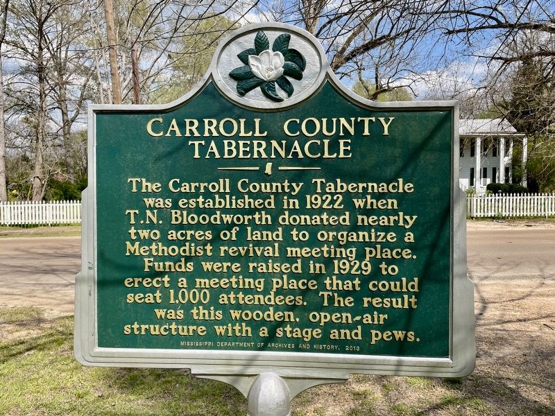
Photographed by Mark Hilton, April 5, 2021
1. Carroll County Tabernacle Marker
Erected 2013 by Mississippi Department of Archives and History.
Topics and series. This historical marker is listed in this topic list: Religion & Religious Structures. In addition, it is included in the Mississippi State Historical Marker Program series list. A significant historical year for this entry is 1922.
Location. 33° 30.862′ N, 89° 55.201′ W. Marker is in North Carrollton, Mississippi, in Carroll County. It is on George Street (Mississippi Route 17) south of McCain Street, on the right when traveling south. Touch for map. Marker is in this post office area: North Carrollton MS 38947, United States of America. Touch for directions.

Regionally, this marker is in Central Mississippi. It is also in the American South, specifically in the Deep South, and in the Mississippi Delta. Globally, it is
this page online
Other nearby markers. At least 8 other markers are within 11 miles of this marker, measured as the crow flies: Carrollton Lodge No. 36 (approx. 0.4 miles away); Namour & Smith (approx. half a mile away); Elizabeth Spencer (approx. half a mile away); Malmaison (approx. 1.1 miles away); Carrollton (approx. 1.1 miles away); Ensign William Devotie Billingsley (approx. 10.2 miles away); Winona Confederate Monument (approx. 10½ miles away); Mississippi John Hurt (approx. 10½ miles away).
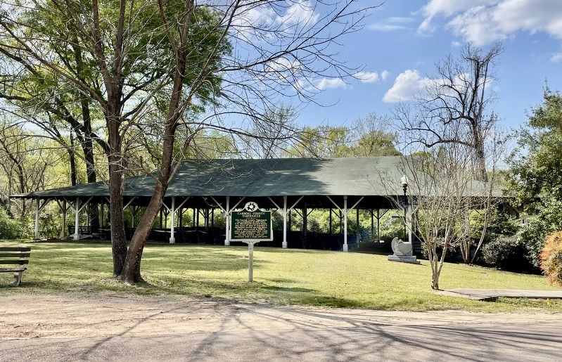
Photographed by Mark Hilton, April 5, 2021
2. Carroll County Tabernacle and Marker
Credits. This page was last revised on April 6, 2021. It was originally submitted on April 6, 2021, by Mark Hilton of Montgomery, Alabama. This page has been viewed 385 times since then and 40 times this year. Photos: 1, 2. submitted on April 6, 2021, by Mark Hilton of Montgomery, Alabama.
