
West Meadowbrook in Fort Worth in Tarrant County, Texas — The American South (West South Central)
Meadowbrook Methodist Church
Photographed by Craig Baker, April 7, 2024
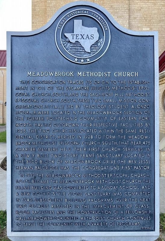
1. Meadowbrook Methodist Church Marker
This congregation traces its original to the establishment in 1911 of the Sycamore Heights Methodist Episcopal Church, South, and the Sagamore Hill Methodist Episcopal Church, South. These two small mission congregations, initially led by theology student Alonzo Monk, Jr., were located in the Meadowbrook section of the former Polytechnic Community of eastern Fort Worth. Having outgrown their respective facilities by 1925, the two churches, located within the same residential district, merged in 1928 to form the Meadowbrook Methodist Episcopal Church, South. That year, 475 charter members held their first church services in a newly built two-story frame sanctuary located in the 3900 block of Meadowbrook Drive. The Rev. Jesse Herman Baldridge was the congregation's first pastor.
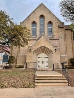
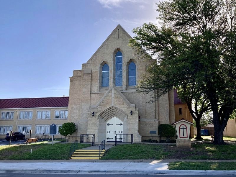
In 1939 the Meadowbrook Methodist Episcopal Church, South, became the Meadowbrook Methodist Episcopal Church. The frame building was converted to a Sunday school and a new Gothic-style stone sanctuary was completed in 1949. Subsequent building programs over the next two decade resulted in the improvement of classroom facilities and the construction of a fellowship hall. Meadowbrook United Methodist Church continues to serve the community with a variety of programs.
Erected 1993 by Texas Historical Commission. (Marker Number 3310.)
Topics. This historical marker is listed in these topic lists: Religion & Religious Structures • Settlements & Settlers. A significant historical year for this entry is 1911.
Location. 32° 44.555′ N, 97° 16.047′ W. Marker is in Fort Worth, Texas, in Tarrant County. It is in West Meadowbrook. It is on Meadowbrook Drive north of Mt. Vernon Avenue, on the right when traveling north. Touch for map. Marker is at or near this postal address: 3900 Meadowbrook Dr, Fort Worth TX 76103, United States
this page online

Regionally, this marker is in the Prairies & Lakes Region. It is also in the American South. Globally, it is in North America, a Gulf of Mexico state, the Western Hemisphere, the Western World, and the Anglosphere. Historically, it finds itself in what was once New Spain, the Republic of Texas, and one of the Confederate States of America.
Other nearby markers. At least 8 other markers are within 3 miles of this marker, measured as the crow flies: Polytechnic Cemetery (approx. 0.8 miles away); Administration Building (approx. one mile away); Ayres Cemetery (approx. 1.4 miles away); William Alfred Sanderson (approx. 1.4 miles away); Site of Fort Worth-Dallas Interurban (approx. 2.9 miles away); The Handley Power Plant and Lake Erie (approx. 2.9 miles away); Riverside Methodist Church (approx. 2.9 miles away); Handley United Methodist Church (approx. 2.9 miles away). Touch for a list and map of all markers in Fort Worth.
Photographed by J Frye, April 3, 2021
2. Meadowbrook Methodist Church and Marker
Photographed by Craig Baker, April 7, 2024
3. Meadowbrook Methodist Church and Marker
Photographed by Craig Baker, April 7, 2024
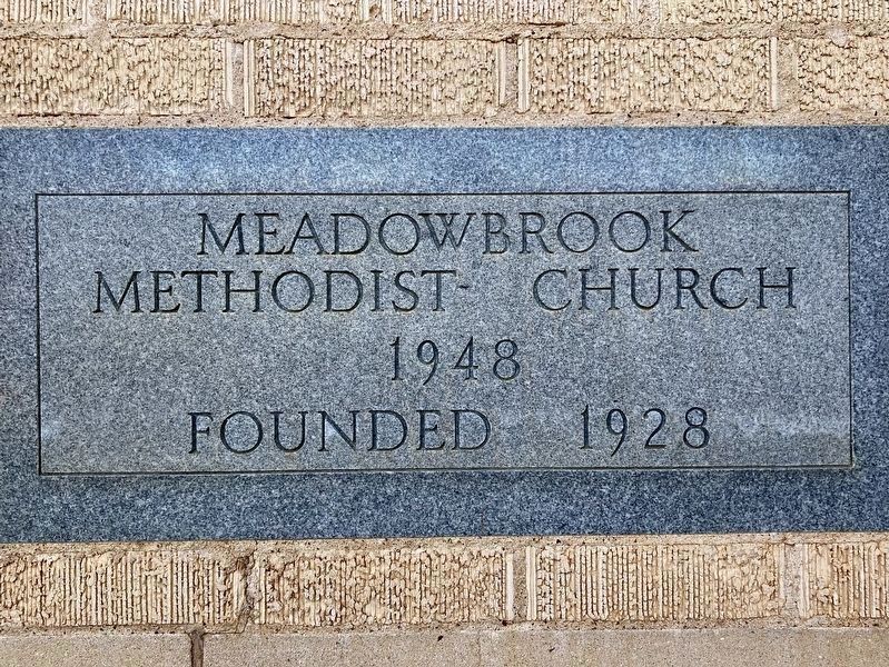
4. Cornerstone - 1948
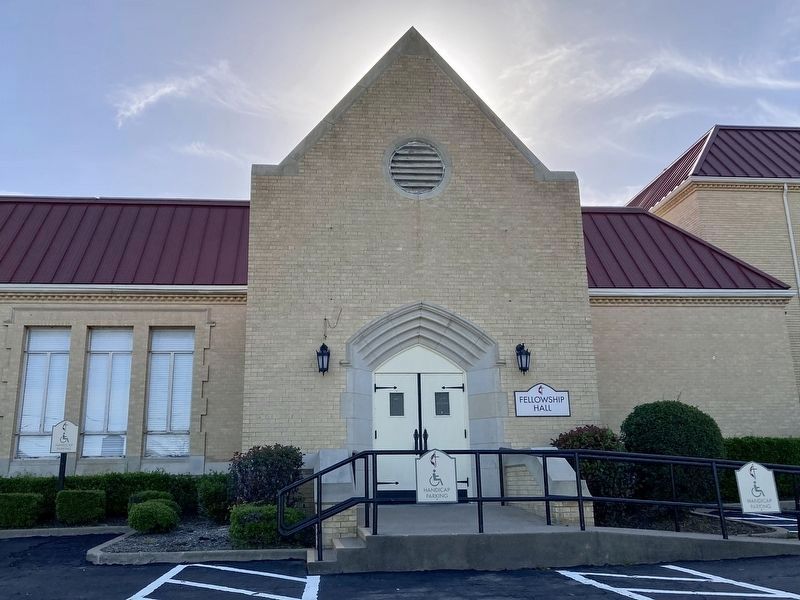
Photographed by Craig Baker, April 7, 2024
5. Fellowship Hall
Credits. This page was last revised on May 8, 2024. It was originally submitted on April 6, 2021, by J Frye of Fort Worth, Texas. This page has been viewed 400 times since then and 29 times this year. Photos: 1. submitted on April 9, 2024, by Craig Baker of Sylmar, California. 2. submitted on April 6, 2021, by J Frye of Fort Worth, Texas. 3, 4, 5. submitted on April 9, 2024, by Craig Baker of Sylmar, California. • J. Makali Bruton was the editor who published this page.
