Dardenelle in Yell County, Arkansas — The American South (West South Central)
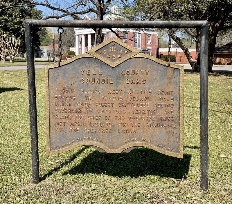
Yell County Council Oaks
Erected 1936 by Arkansas Centennial Comm., Arkansas History Comm. (Marker Number C-34.)
Topics and series. This historical marker is listed in this topic list: Native Americans. In addition, it is included in the Arkansas Centennial Commission series list. A significant historical month for this entry is April 1820.
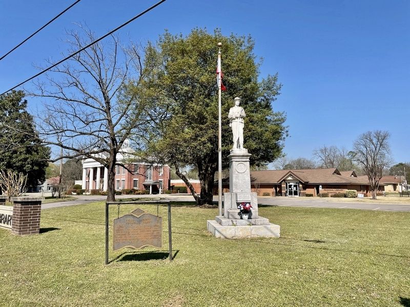
Location. 35° 13.44′ N, 93° 9.317′ W. Marker is in Dardenelle, Arkansas, in Yell County. Marker is at the intersection of Union Street (Arkansas Route 27) and North Front Street, on the right when traveling west on Union Street. In front of the Arkansas River Valley Library. Touch for map. Marker is at or near this postal address: 102 Union St, Dardanelle AR 72834, United States of America. Touch for directions.
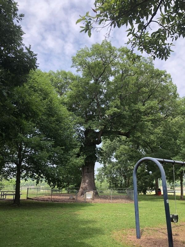
Other nearby markers. At least 8 other markers are within one mile of this marker, measured as the crow flies. Dardanelle Confederate Monument (here, next to this marker); Yell County First Court House (within shouting distance of this marker); Jefferson Davis Highway (about 300 feet away, measured in a direct line); Historic Downtown Dardanelle (approx. ¼ mile away); Council Oak (approx. half a mile away); Old Brearley Cemetery (approx. 0.6 miles away); Brearley Cemetery (approx. one mile away); Action at Dardenelle (approx. one mile away). Touch for a list and map of all markers in Dardenelle.
More about this marker. One of 143 cast-iron markers placed across Arkansas in partnership with the Arkansas History Commission during the state's 1936 centennial. They were originally silver in color.
Also see . . . Encyclopedia of Arkansas on the Treaty of Council Oaks. (Submitted on April 7, 2021, by Mark Hilton of Montgomery, Alabama.)
Credits. This page was last revised on June 8, 2023. It was originally submitted on April 7, 2021, by Mark Hilton of Montgomery, Alabama. This page has been viewed 202 times since then and 25 times this year. Photos: 1, 2. submitted on April 7, 2021, by Mark Hilton of Montgomery, Alabama. 3. submitted on June 8, 2023, by Duane and Tracy Marsteller of Murfreesboro, Tennessee.


