Tulsa in Tulsa County, Oklahoma — The American South (West South Central)
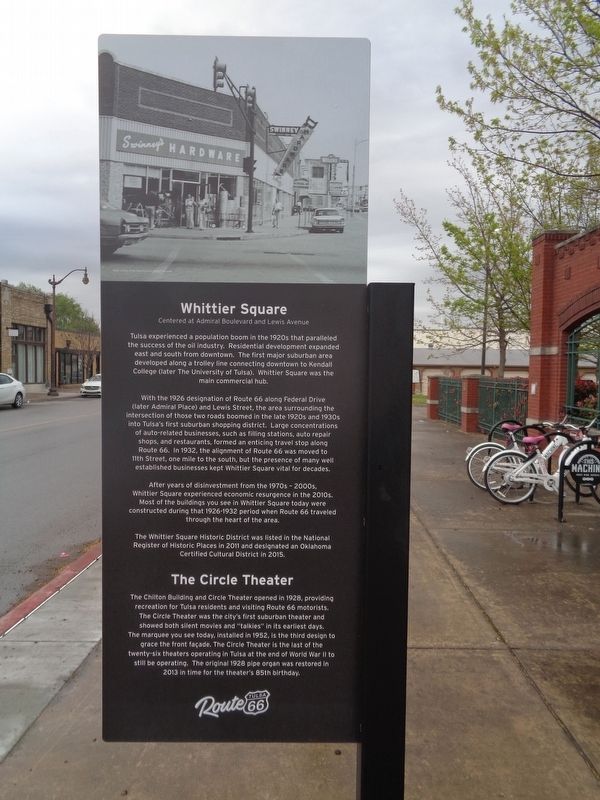
Whittier Square
Tulsa's Historic Route 66
With the 1926 designation of Route 66 along Federal Drive (later Admiral Place) and Lewis Street, the area surrounding the intersection of those two roads boomed in the late 1920s and 1930s into Tulsa's first suburban shopping district. Large concentrations of auto-related businesses, such as filling stations, auto repair shops, and restaurants, formed an enticing travel stop along Route 66. In 1932, the alignment of Route 66 was moved to 11th Street, one mile to the south, but the presence of many well established businesses kept Whittier Square vital for decades.
After years of disinvestment from the 1970s - 2000s, Whittier Square experienced economic resurgence in the 2010s. Most of the buildings you see in Whittier Square today were constructed during that 1926-1932 period when Route 66 traveled through the heart of the area.
The Whittier Square Historic District was listed in the National Register of Historic Places in 2011 and designated an Oklahoma Certified Cultural District in 2015.
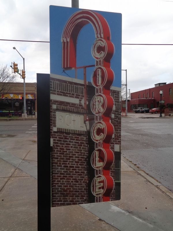
The Circle Theater
The Chilton Building and Circle Theater opened in 1928, providing recreation for Tulsa residents and visiting Route 66 motorists. The Circle Theater was the city's first suburban theater and showed both silent movies and "talkies" in its earliest days. The marquee you see today, installed in 1952, is the third design to grace the front façade. The Circle Theater is the last of the twenty-six theaters operating in Tulsa at the end of World War II to still be operating. The original 1928 pipe organ was restored in 2013 in time for the theater's 85th birthday.
Erected 2019 by Tulsa Route 66 Commission. (Marker Number 21.)
Topics and series. This historical marker is listed in these topic lists: Entertainment • Industry & Commerce • Roads & Vehicles. In addition, it is included in the U.S. Route 66 series list. A significant historical year for this entry is 1926.
Location. 36° 9.586′ N, 95° 57.483′ W. Marker is in Tulsa, Oklahoma, in Tulsa County. Marker is at the intersection of South Lewis Avenue and East Admiral Boulevard, on the right when traveling north on South Lewis Avenue. Touch for map. Marker is at or near this postal address: 5 S Lewis Ave, Tulsa OK 74104, United States of America. Touch for directions.
Other nearby markers. At least 8 other markers are within walking distance of this marker. A different marker also named Whittier Square (here, next to this marker); Borden's Restaurant (approx. 0.9 miles away); Casa Loma Hotel (Campbell Hotel) (approx. 0.9 miles away); Tulsa Monument Company (approx. 0.9 miles away); Bama Pie Company (approx. 0.9 miles away); Dry Cleaners (approx. 0.9 miles away); Admiral Place (approx. 0.9 miles away); Leyh Building (approx. one mile away). Touch for a list and map of all markers in Tulsa.
Credits. This page was last revised on April 7, 2021. It was originally submitted on April 7, 2021, by Jason Voigt of Glen Carbon, Illinois. This page has been viewed 481 times since then and 77 times this year. Photos: 1, 2, 3. submitted on April 7, 2021, by Jason Voigt of Glen Carbon, Illinois.


