Near Osceola in Mississippi County, Arkansas — The American South (West South Central)
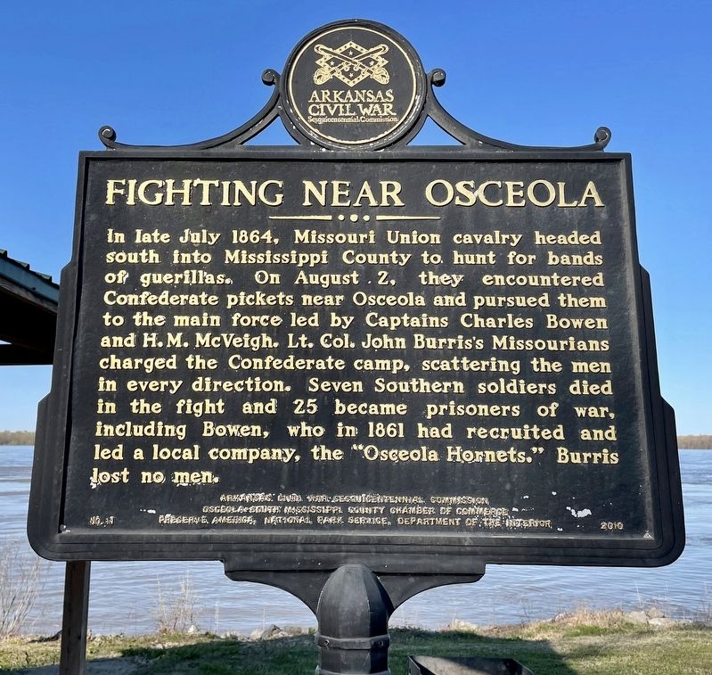
Fighting Near Osceola
Erected 2010 by Arkansas Civil War Sesquicentennial Commission, Osceola-South Mississippi County Chamber of Commerce, Preserve America, National Park Service, Department of the Interior. (Marker Number 11.)
Topics and series. This historical marker is listed in this topic list: War, US Civil. In addition, it is included in the Arkansas Civil War Sesquicentennial Commission series list. A significant historical month for this entry is July 1864.
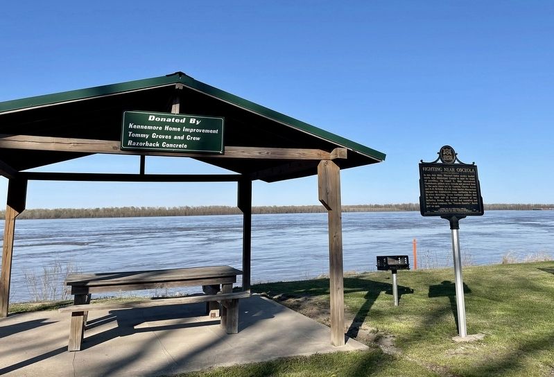
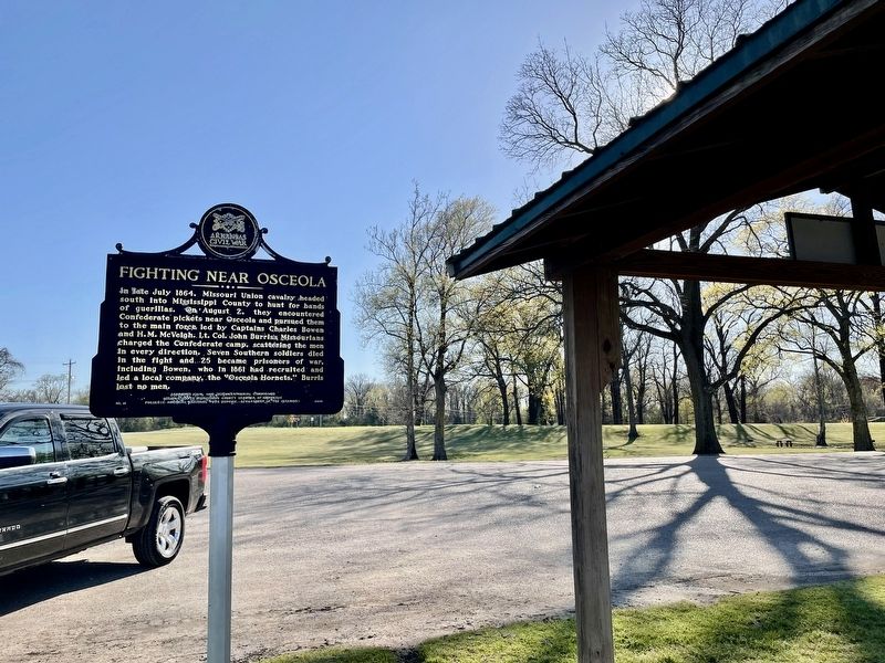
Location. 35° 39.289′ N, 89° 55.509′ W. Marker is near Osceola, Arkansas, in Mississippi County. Marker is on Arkansas Route 198 east of County Road 661, on the left when traveling east. Located at Sans Souci Landing along the Mississippi River. Touch for map. Marker is in this post office area: Osceola AR 72370, United States of America. Touch for directions.
Other nearby markers. At least 8 other markers are within 4 miles of this marker, measured as the crow flies. Osceola Hornets (here, next to this marker); Battle of Plum Run Bend (a few steps from this marker); Mississippi River Levee (within shouting distance of this marker); Mark Twain's Plum Point Landing & Overlook (within shouting distance of this marker); Sans Souci (within shouting distance of this marker); Calvary Episcopal Church (approx. 4.1 miles away); Planters Bank Building (approx. 4.1 miles away); Bank of Osceola (approx. 4.1 miles away). Touch for a list and map of all markers in Osceola.
Credits. This page was last revised on May 18, 2022. It was originally submitted on April 7, 2021, by Mark Hilton of Montgomery, Alabama. This page has been viewed 264 times since then and 50 times this year. Photos: 1, 2, 3. submitted on April 7, 2021, by Mark Hilton of Montgomery, Alabama.


