Near Waxahachie in Ellis County, Texas — The American South (West South Central)
Sardis United Methodist Church
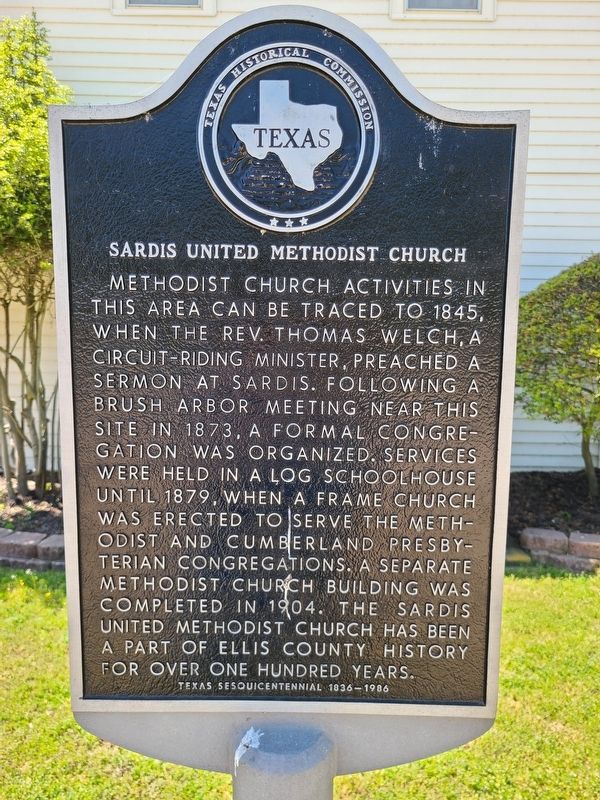
Photographed by Jesse Nelsen, April 8, 2021
1. Sardis United Methodist Church Marker
Methodist Church activities in this area can be traced to 1845, when the Rev. Thomas Welch, a circuit-riding minister, preached a sermon. Following a brush arbor meeting near this site in 1873, a formal congregation was organized. Services were held in a log schoolhouse until 1879, when a frame church was erected to serve the Methodist and Cumberland Presbyterian congregations. A separate Methodist Church building was completed in 1904. The Sardis United Methodist Church has been a part of Ellis County history for over one hundred years.
Texas Sesquicentennial 1836-1986
Erected 1986 by Texas Historical Commission. (Marker Number 7076.)
Topics. This historical marker is listed in this topic list: Religion & Religious Structures. A significant historical year for this entry is 1845.
Location. 32° 25.837′ N, 96° 54.264′ W. Marker is near Waxahachie, Texas, in Ellis County. It is on Sardis Road west of Saralvo Road, on the left when traveling west. Touch for map. Marker is in this post office area: Midlothian TX 76065, United States of America. Touch for directions.

Regionally, this marker is in the Prairies & Lakes Region
this page online
Other nearby markers. At least 8 other markers are within 5 miles of this marker, measured as the crow flies: Sardis Cemetery (approx. 0.6 miles away); Waxahachie Chautauqua Building (approx. 3.3 miles away); Getzendaner Memorial Park (approx. 3.3 miles away); Dunlap-Simpson House (approx. 3½ miles away); 1918 Waxahachie High School (approx. 4 miles away); H.P. and Mollie McCartney House (approx. 4 miles away); First United Methodist Church of Waxahachie (approx. 4.1 miles away); Waxahachie City Cemetery (approx. 4.1 miles away). Touch for a list and map of all markers in Waxahachie.
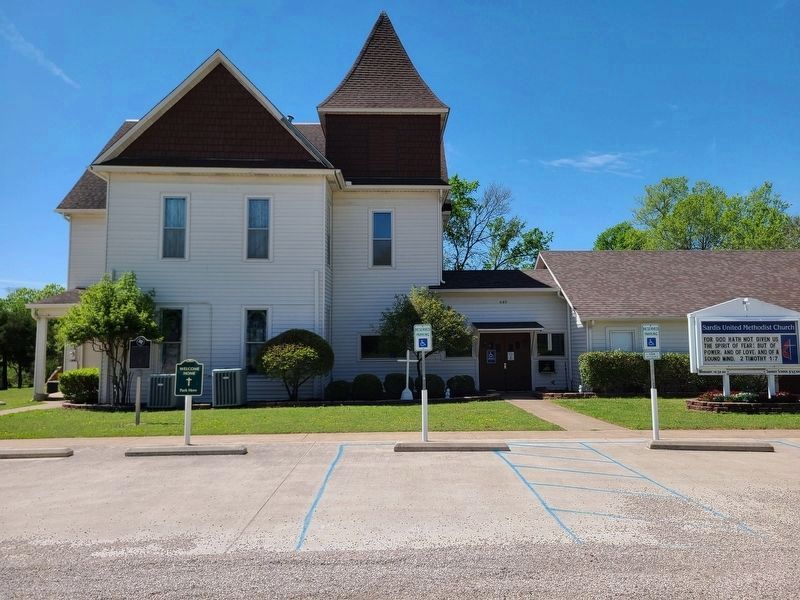
Photographed by Jesse Nelsen, April 8, 2021
2. Sardis United Methodist Church and Marker
Credits. This page was last revised on April 10, 2021. It was originally submitted on April 9, 2021, by Jesse Nelsen of Farmersville, Texas. This page has been viewed 1,126 times since then and 87 times this year. Photos: 1, 2. submitted on April 9, 2021, by Jesse Nelsen of Farmersville, Texas. • J. Makali Bruton was the editor who published this page.
