Wrightsville in York County, Pennsylvania — The American Northeast (Mid-Atlantic)
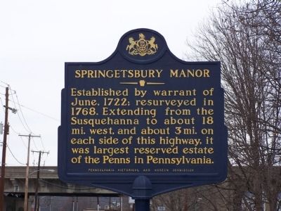
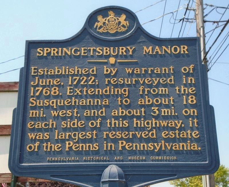
Springetsbury Manor
Inscription.
Extending from the Susquehanna to about 18 mi. west, and
about 3 mi. on each side of this highway, it was largest
reserved estate of the Penns in Pennsylvania.
Erected 1950 by Pennsylvania Historical and Museum Commission.
Topics and series. This historical marker is listed in these topic lists: Colonial Era • Settlements & Settlers. In addition, it is included in the Pennsylvania Historical and Museum Commission series list. A significant historical month for this entry is June 1722.
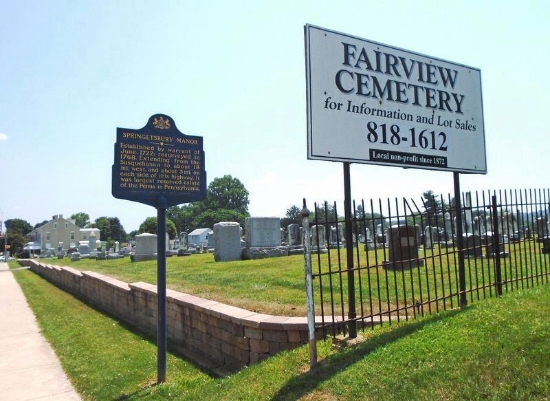
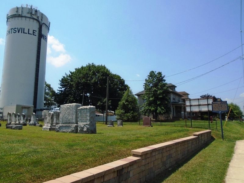
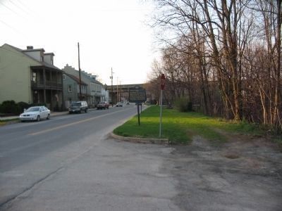
Location. 40° 1.437′ N, 76° 32.269′ W. Marker is in Wrightsville, Pennsylvania, in York County. Marker is on Hellam Street (Pennsylvania Route 462) east of 7th Street, on the right when traveling east. Touch for map. Marker is in this post office area: Wrightsville PA 17368, United States of America. Touch for directions.
Other nearby markers. At least 8 other markers are within walking distance of this marker. World War Memorial (within shouting distance of this marker); Veterans Memorial (within shouting distance of this marker); Road of Remembrance (about 700 feet away, measured in a direct line); U.S.S. Maine Memorial (approx. ¼ mile away); 1861 - 1865 (approx. ¼ mile away); Flame of Freedom (approx. ¼ mile away); Wrightsville Engagement (approx. ¼ mile away); Mifflin House (approx. ¼ mile away). Touch for a list and map of all markers in Wrightsville.
More about this marker. The marker was formerly located at Front and Orange Streets, at 40.024466N 76.52673W
Credits. This page was last revised on April 9, 2021. It was originally submitted on January 30, 2008, by Bill Pfingsten of Bel Air, Maryland. This page has been viewed 1,447 times since then and 14 times this year. Last updated on April 9, 2021, by Annette Fillmore of York, Pennsylvania. Photos: 1. submitted on January 30, 2008, by Bill Pfingsten of Bel Air, Maryland. 2, 3, 4. submitted on July 15, 2018, by William Fischer, Jr. of Scranton, Pennsylvania. 5. submitted on June 12, 2010, by Craig Swain of Leesburg, Virginia. 6. submitted on January 30, 2008, by Bill Pfingsten of Bel Air, Maryland.
