Asheville in Buncombe County, North Carolina — The American South (South Atlantic)
Rutherford Trace
Photographed by Bill Coughlin, August 8, 2012
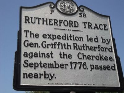
1. Rutherford Trace Marker
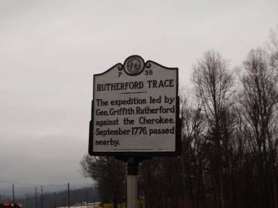
The expedition led by Gen. Griffith Rutherford against the Cherokee, September 1776, passed nearby.
Erected 2004 by North Carolina office of Archives and History. (Marker Number P-38.)
Topics and series. This historical marker is listed in these topic lists: Indigenous Peoples and Communities • War, US Revolutionary. In addition, it is included in the North Carolina Division of Archives and History series list. A significant historical year for this entry is 1776.
Location. 35° 32.877′ N, 82° 35.924′ W. Marker is in Asheville, North Carolina, in Buncombe County. It is on Brevard Road (State Highway 191) north of Biltmore Estates Drive, on the right when traveling north. Touch for map. Marker is in this post office area: Asheville NC 28806, United States of America. Touch for directions.

Regionally, this marker is in the Mountains. It is also in the American South, specifically in the Upper South, in Appalachia, and specifically in Southern Appalachia. Globally, it is in North America, the Western Hemisphere, the Western World, and the Anglosphere. Historically, it finds itself in what was once the
this page online
Other nearby markers. At least 8 other markers are within 3 miles of this marker, measured as the crow flies: Home Place of Capt. Wm. Moore (approx. 2 miles away); Sulphur Springs (approx. 2 miles away); William Moore (approx. 2 miles away); "End of Car Line" (approx. 2.1 miles away); Olive Tilford Dargan (approx. 2.3 miles away); Olmsted at Biltmore (approx. 2.6 miles away); Birthplace of American Forestry (approx. 2.6 miles away); Frederick Law Olmsted (approx. 2.6 miles away). Touch for a list and map of all markers in Asheville.
Also see . . . The Rutherford Trace. The American Revolution in North Carolina website entry (Submitted on November 19, 2024, by Larry Gertner of New York, New York.)
Photographed by Stanley and Terrie Howard, March 14, 2009
2. Rutherford Trace Marker
Photographed by Mike Stroud, May 19, 2012
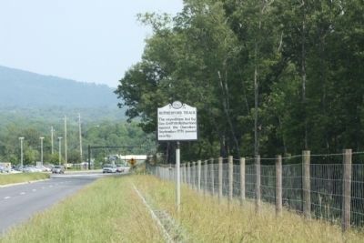
3. Rutherford Trace Marker, looking north along Brevard Road
Photographed by Bill Coughlin, August 8, 2012
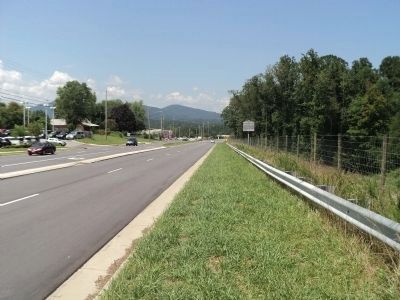
4. Rutherford Trace Marker
Credits. This page was last revised on November 19, 2024. It was originally submitted on March 15, 2009, by Stanley and Terrie Howard of Greer, South Carolina. This page has been viewed 1,973 times since then and 66 times this year. Photos: 1. submitted on August 9, 2012, by Bill Coughlin of Woodland Park, New Jersey. 2. submitted on March 15, 2009, by Stanley and Terrie Howard of Greer, South Carolina. 3. submitted on May 21, 2012, by Mike Stroud of Bluffton, South Carolina. 4. submitted on August 9, 2012, by Bill Coughlin of Woodland Park, New Jersey. • Kevin W. was the editor who published this page.
