First United Methodist Church Of Port Neches
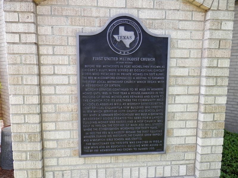
Before 1881 Methodists in Port Neches, then known as Grigsby's Bluff, were served by occasional circuit Riders who preached in private homes. On Sept. 6, 1881, the Rev. W. H. Crawford conducted a meeting to organize the first local Methodist church which began with a membership of sixteen.
Worship services continued to be held in members' homes until 1885. In that year a house, damaged in the process of being moved, was repaired and given to the church for its use. There the community held school classes as well as worship services by the light of coal oil lamps. A new building was erected in 1894 which served as both church and school until 1911 when a separate schoolhouse was built. A growing membership soon created the need for a larger building. Money was raised, and a new church was built in 1919 on the corner of Main and Nall streets where the congregation worshiped for thirty years.
In 1920 the Rev. W. E. Hassler became the first full-time minister. During his pastorate, the church grew rapidly and a Vacation Bible School was started.
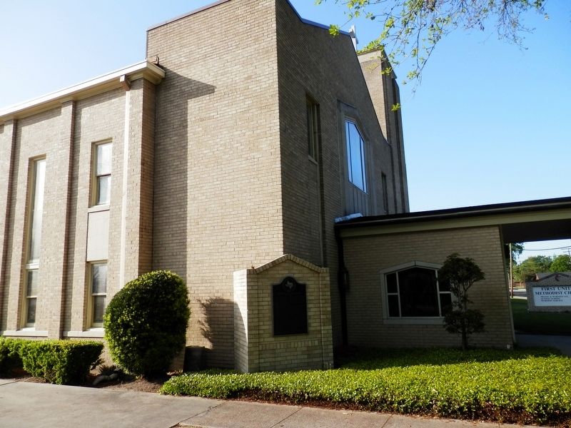
The sanctuary on this site was erected in 1950. A new wing and an education building
this page online
Erected 1981 by Texas Historical Commission. (Marker Number 10524.)
Topics. This historical marker is listed in this topic list: Religion & Religious Structures.
Location. 29° 59.141′ N, 93° 57.585′ W. Marker is in Port Neches, Texas, in Jefferson County. It is on Nall Street near Eugene Street. Touch for map. Marker is at or near this postal address: 1826 Nall Street, Port Neches TX 77651, United States of America. Touch for directions.

Regionally, this marker is in Texas’ Golden Triangle. It is also in the American South, on the Gulf Coast, and in the Piney Woods. Globally, it is in North America, a Gulf of Mexico state, the Western Hemisphere, the Western World, and the Anglosphere. Historically, it finds itself in what was once New Spain, the Republic of Texas, one of the Confederate States of America, and the Antebellum South.
Other nearby markers. At least 8 other markers are within 3 miles of this marker, measured as the crow flies: St. Elizabeth Catholic Community (approx. 0.2 miles
Additional keywords. First United Methodist Church Of Port Neches
Credits. This page was last revised on April 10, 2021. It was originally submitted on April 10, 2021, by Cajun Scrambler of Assumption, Louisiana. This page has been viewed 364 times since then and 32 times this year. Photos: 1, 2. submitted on April 10, 2021, by Cajun Scrambler of Assumption, Louisiana.
