Waynesboro, Virginia — The American South (Mid-Atlantic)
Wooden Water Pipe
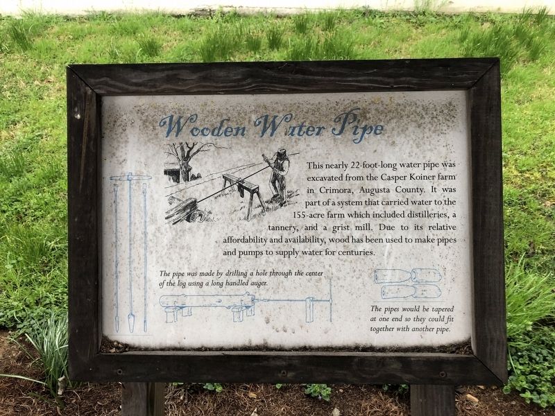
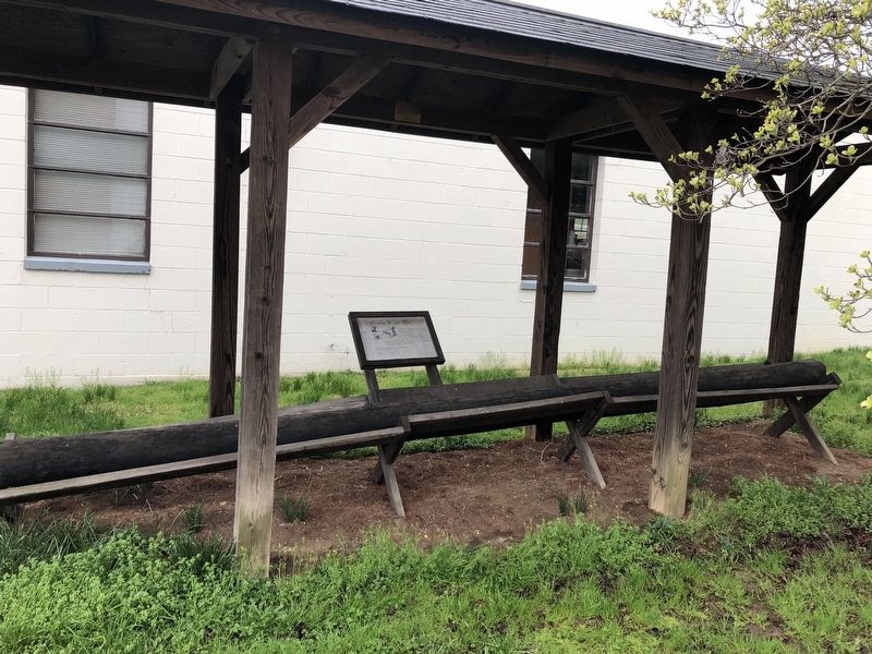
This nearly 22-foot-long water pipe was excavated from the Casper Koiner farm in Crimora, Augusta County. It was part of a system that carried water to the 155-acre farm which included distilleries, a tannery, and a grist mill. Due to its relative affordability and availability, wood has been used to make pipes and pumps to supply water for century.
[Captions:]
The pipe was made by drilling a hole through the center of the log using a long handled auger.
The pipes would be tapered at one end so they could fit together with another pipe.
Erected by Waynesboro Heritage Foundation, Inc.
Topics. This historical marker is listed in these topic lists: Agriculture • Industry & Commerce • Natural Resources • Settlements & Settlers.
Location. 38° 4.185′ N, 78° 53.731′ W. Marker is in Waynesboro, Virginia. It can be reached from West Main Street (U.S. 340) just east of New Hope Road, on the right when traveling east. Touch for map. Marker is at or near this postal address: 1012 W Main St, Waynesboro VA 22980, United States of America. Touch for directions.

Regionally,
this page online
Other nearby markers. At least 8 other markers are within walking distance of this marker: A different marker also named Plumb House (a few steps from this marker); Fishburne Military School (approx. 0.3 miles away); Waynesboro (approx. 0.4 miles away); Early’s Last Battle (approx. half a mile away); a different marker also named Waynesboro (approx. half a mile away); W. J. Loth (approx. half a mile away); Settlement of Port Republic Road (approx. half a mile away); River Crossings & Bridges (approx. 0.6 miles away). Touch for a list and map of all markers in Waynesboro.
Other markers no longer nearby. Plumb House (was a few steps from this marker but has been replaced with another marker now near it); The Plumb House Museum
Credits. This page was last revised on February 3, 2026. It was originally submitted on April 10, 2021, by Devry Becker Jones of Washington, District of Columbia. This page has been viewed 679 times since then and 52 times this year. Photos: 1, 2. submitted on April 10, 2021, by Devry Becker Jones of Washington, District of Columbia.
