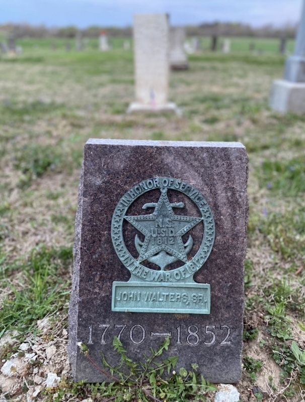
Grave of Frontiersman / South Fork Baptist Church
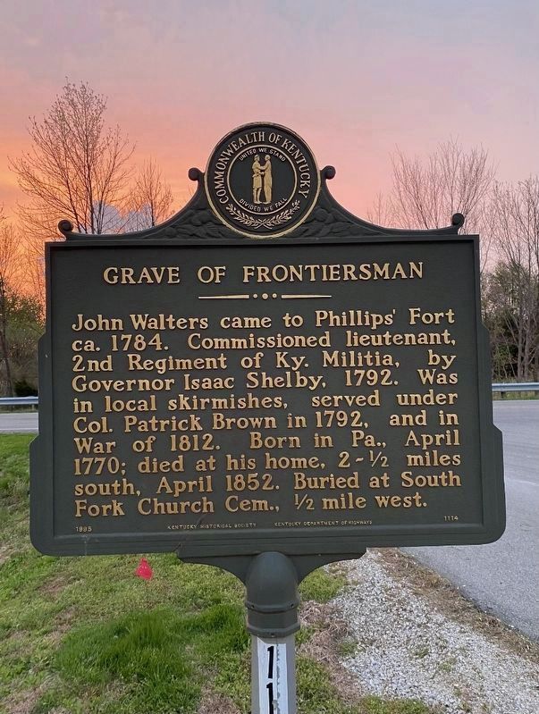
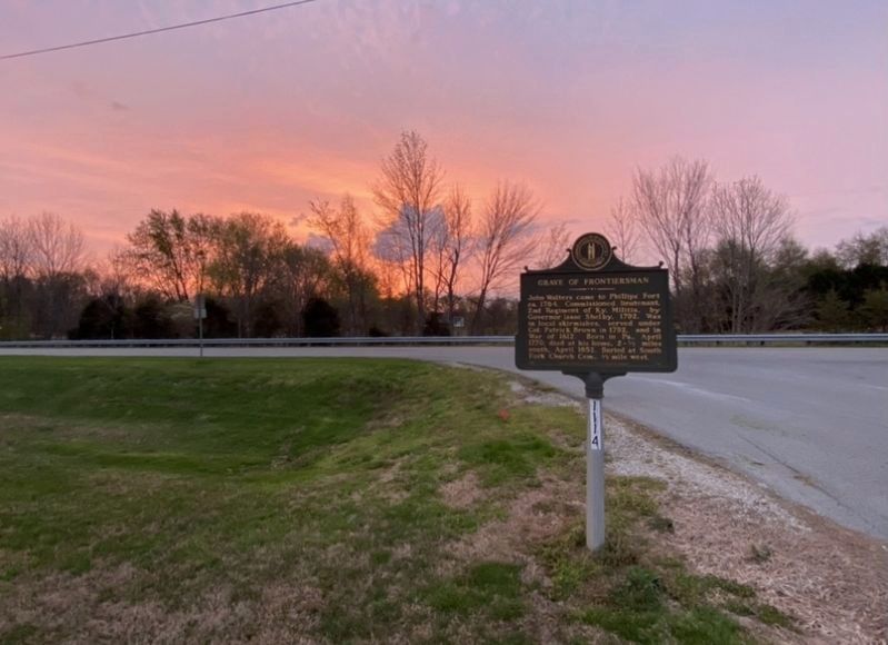
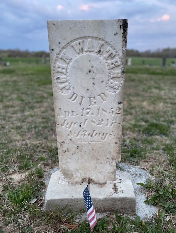
Grave of Frontiersman. John Walters came to Phillips' Fort ca. 1784. Commissioned lieutenant, 2nd Regiment of Ky. Militia, by Governor Isaac Shelby, 1792. Was in local skirmishes, served under Col. Patrick Brown in 1792, and in War of 1812. Born in Pa., 1770; died at his home, 2-½ miles south, April 1852. Buried at South Fork Church Cem., ½ mile west.
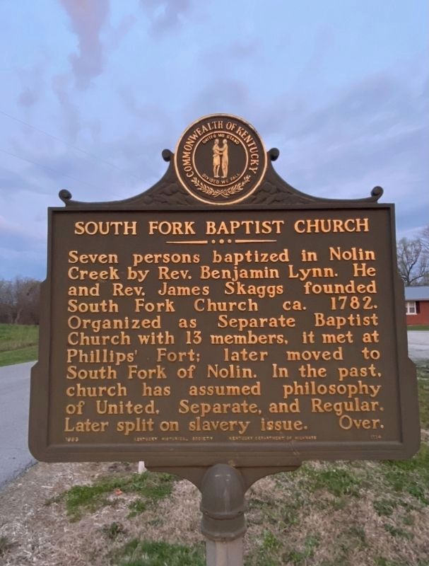
South Fork Baptist Church. Seven persons baptized in Nolin Creek by Rev. Benjamin Lynn. He and Rev. James Skaggs founded South Fork Church ca. 1782
Organized as Separate Baptist Church with 13 members, it met at Phillips' Fort; later moved to South Fork of Nolin. In the past, church has assumed philosophy
of United, Separate, and Regular. Later split on slavery issue.
Erected 1985 by Kentucky Historical Society and Kentucky Department of Highways. (Marker Number 1114.)
Topics and series. This historical marker is listed in these topic lists: Cemeteries & Burial Sites • Churches & Religion • Settlements & Settlers. In addition, it is included in the Kentucky Historical Society series list. A significant historical year for this entry is 1782.
Location. 37° 30.218′ N, 85° 44.276′ W. Marker is near Buffalo, Kentucky, in Larue County. Marker is
Other nearby markers. At least 8 other markers are within 2 miles of this marker, measured as the crow flies. Nancy Lincoln Inn (approx. 1.9 miles away); The Boundary Oak (approx. 1.9 miles away); Sinking Spring (approx. 1.9 miles away); The Memorial Building (approx. 1.9 miles away); a different marker also named The Sinking Spring (approx. 1.9 miles away); Abraham Lincoln Birthplace (approx. 1.9 miles away); An Enduring Symbol (approx. 1.9 miles away); An Idyllic Frontier Scene (approx. 1.9 miles away).
Credits. This page was last revised on April 12, 2021. It was originally submitted on April 11, 2021, by Darren Jefferson Clay of Duluth, Georgia. This page has been viewed 419 times since then and 52 times this year. Photos: 1, 2, 3, 4, 5. submitted on April 11, 2021, by Darren Jefferson Clay of Duluth, Georgia. • Devry Becker Jones was the editor who published this page.
