Havre de Grace in Harford County, Maryland — The American Northeast (Mid-Atlantic)
Home Base
Star-Spangled Banner National Historic Trail
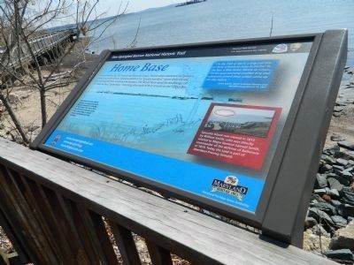
Photographed by Bill Pfingsten, April 3, 2013
1. Home Base Marker
"On the 28th of April, a brig and two or three schooners came to anchor in the bay, a little below Havre de Grace... On the next morning another brig and schooners joined those which came up the day before."
-Jared Sparks, North American Review and Miscellaneous Journal 14, 1817
Spesutia Island was owned in 1813 by William Smith, who was directly related to Major General Samuel Smith, commander of the defense of Baltimore in 1814. Today the land is part of Aberdeen Proving Ground.
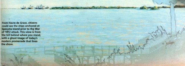
From Havre de Grace, citizens could see the ships anchored at Spesutia Island prior to the War of 1812 attack. This view is from the hill behind where you stand, with a ghost image of today's modern promenade that lines the shore.
Topics and series. This historical marker is listed in this topic list:
this page online
Location. 39° 32.29′ N, 76° 5.319′ W. Marker is in Havre de Grace, Maryland, in Harford County. It can be reached from Commerce Street. Marker is on the Havre de Grace Promenade at Tidings Park Marina. Touch for map. Marker is in this post office area: Havre de Grace MD 21078, United States of America. Touch for directions.

Regionally, this marker is in the Baltimore Metro Region and in Central Maryland. It is also in the American Mid-Atlantic, in the Chesapeake Bay Region, and on the Eastern Seaboard. Globally, it is in the North Atlantic Region, North America, the Western Hemisphere, the Western World, and the Anglosphere. Historically, it finds itself in what was once one of the original Thirteen Colonies and also the Antebellum South.
Other nearby markers. At least 8 other markers are within walking distance of this marker: Lower Susquehanna Heritage Greenway (a few steps from this marker); Enjoy the Havre de Grace Promenade (a few steps from this marker); State of Readiness
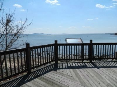
Photographed by Bill Pfingsten, April 3, 2013
2. Home Base Marker overlooking the Chesapeake Bay
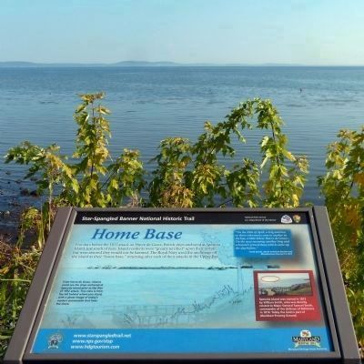
Photographed by Allen C. Browne, October 4, 2013
3. Home Base Marker
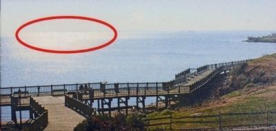
Photographed by Allen C. Browne, October 4, 2013
4. Spesutia Island
Spesutia Island was owned in 1813 by William Smith, who was directly related to Major General Samuel Smith, commander of the defense of Baltimore in 1814. Today the land is part of Aberdeen Proving Ground.Close-up of Photo on marker
Photographed by Allen C. Browne, October 4, 2013
5. Ghost Image
From Havre de Grace, citizens could see the ships anchored at Spesutia Island prior to the War of 1812 attack. This view is from the hill behind where you stand, with a ghost image of today's modern promenade that lines the shore. Close-up of Bill Watson's painting on marker
Credits. This page was last revised on April 12, 2021. It was originally submitted on April 5, 2013, by Bill Pfingsten of Bel Air, Maryland. This page has been viewed 840 times since then and 31 times this year. Last updated on April 11, 2021, by Carl Gordon Moore Jr. of North East, Maryland. Photos: 1, 2. submitted on April 5, 2013, by Bill Pfingsten of Bel Air, Maryland. 3, 4, 5. submitted on October 29, 2014, by Allen C. Browne of Silver Spring, Maryland.
