Mt. Juliet in Wilson County, Tennessee — The American South (East South Central)
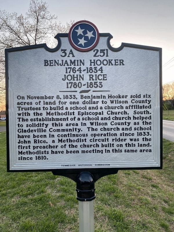
Benjamin Hooker 1764-1834 / John Rice 1780-1853
Inscription.
On November 8, 1833, Benjamin Hooker sold six acres of land for one dollar to Wilson County Trustees to build a school and a church affiliated with the Methodist Episcopal Church, South. The establishment of a school and church helped
to solidify this area in Wilson County as the Gladeville Community. The church and school have been in continuous operation since 1833. John Rice, a Methodist circuit rider was the first preacher of the church built on this land. Methodists have been meeting in this same area since 1810.
Erected by Tennessee Historical Commission. (Marker Number 3A 251.)
Topics and series. This historical marker is listed in these topic lists: Churches & Religion • Education. In addition, it is included in the Tennessee Historical Commission series list. A significant historical date for this entry is November 8, 1833.
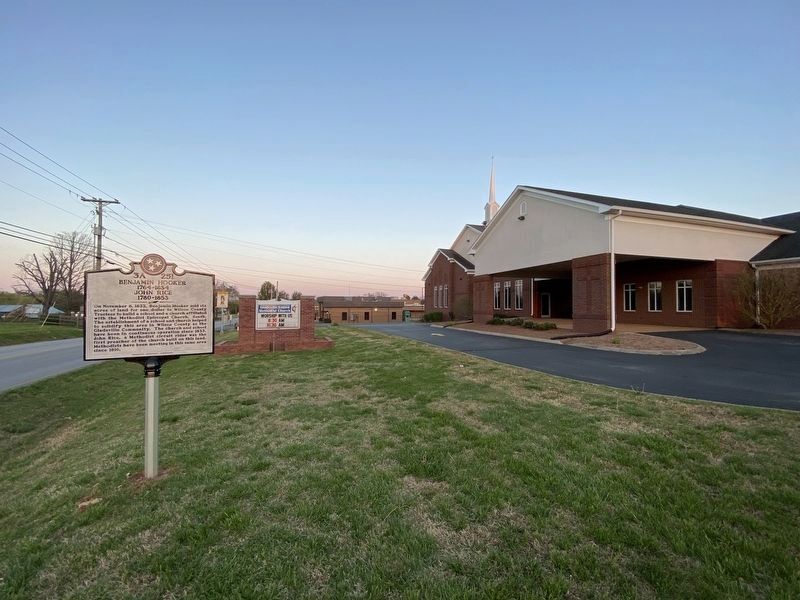
Location. 36° 6.767′ N, 86° 25.207′ W. Marker is in Mt. Juliet, Tennessee, in Wilson County. Marker is on Stewarts Ferry Pike, 0.1 miles east of Stonefield Drive, on the right when traveling east. Touch for map. Marker is at or near this postal address: 8765 Stewarts Ferry Pike, Mount Juliet TN 37122, United States of America. Touch for directions.
Other nearby markers. At least 8 other markers are within 9 miles of this marker, measured as the crow flies. Sugg's Creek Church (approx. 4.2 miles away); Skirmishes at Rural Hill (approx. 4.2 miles away); Morgan Moves on Hartsville (approx. 5 miles away); Mt. Olivet Baptist Church (approx. 5.6 miles away); Sherrod Bryant (approx. 6.4 miles away); Edward F. Geers (approx. 8˝ miles away); Jerusalem Cumberland Presbyterian Church (approx. 8.6 miles away); Cedar Grove Cemetery (approx. 8.8 miles away). Touch for a list and map of all markers in Mt. Juliet.
Credits. This page was last revised on April 13, 2021. It was originally submitted on April 11, 2021, by Darren Jefferson Clay of Duluth, Georgia. This page has been viewed 254 times since then and 24 times this year. Photos: 1, 2. submitted on April 11, 2021, by Darren Jefferson Clay of Duluth, Georgia. • Devry Becker Jones was the editor who published this page.

