Downtown Springfield in Greene County, Missouri — The American Midwest (Upper Plains)
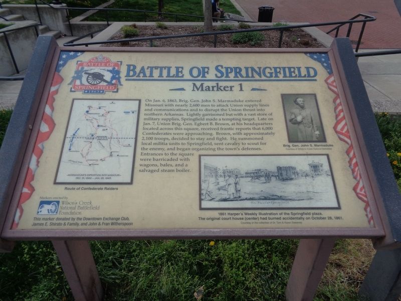
Battle of Springfield
Erected by Wilson's Creek National Battlefield Foundation, marker donated by the Downtown Exchange Club, James E. Shirato & Family, and John & Fran Witherspoon. (Marker Number 1.)
Topics and series. This historical marker is listed in this topic list: War, US Civil. In addition, it is included in the Missouri, Battle of Springfield series list. A significant historical date for this entry is January 6, 1863.
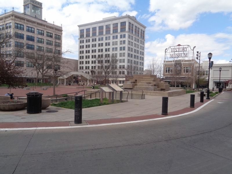
Location. 37° 12.527′ N, 93° 17.519′ W. Marker is in Springfield, Missouri, in Greene County. It is in Downtown Springfield. Marker is at the intersection of Park Central East and E St. Louis Street, on the left when traveling east on Park Central East. Marker is located near the southeast corner of Park Central Square in downtown Springfield. Touch for map. Marker is at or near this postal address: 200 Park Central E, Springfield MO 65806, United States of America. Touch for directions.
Other nearby markers. At least 8 other markers are within walking distance of this marker. A different marker also named Battle of Springfield (here, next to this marker); Three Black Men Lynched (a few steps from this marker); History of Springfield Public Square (a few steps from this marker); Lynching in America / The Lynchings of Horace B. Duncan, Fred Coker and William Allen (a few steps from this marker); 1971 Tumbler (within shouting distance of this marker); Wild Bill's Shootout (within shouting distance of this marker); Dedicated to the Loving Memory of Dr. R. Fred Schweitzer (within shouting distance of this marker); Butterfield Overland Stage (about 300 feet away, measured in a direct line). Touch for a list and map of all markers in Springfield.
Credits. This page was last revised on February 16, 2023. It was originally submitted on April 12, 2021, by Jason Voigt of Glen Carbon, Illinois. This page has been viewed 244 times since then and 30 times this year. Photos: 1, 2. submitted on April 12, 2021, by Jason Voigt of Glen Carbon, Illinois.

