Mosier Valley in Euless in Tarrant County, Texas — The American South (West South Central)
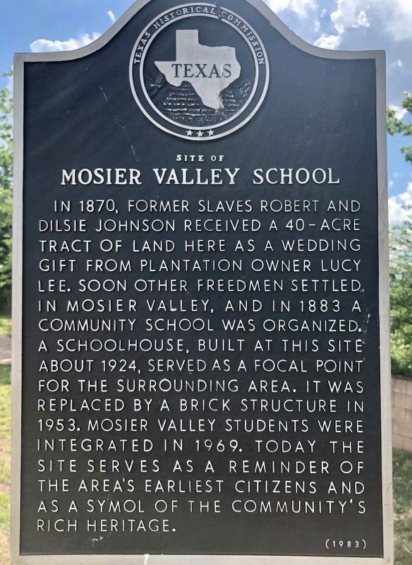
Site of Mosier Valley School
In 1870, former slaves Robert and Dilsie Johnson received a 40-acre tract of land here as a wedding gift from plantation owner Lucy Lee. Soon other freedmen settled in Mosier Valley, and in 1883 a community school was organized. A schoolhouse, built at this site about 1924, served as a focal point for the surrounding area. It was replaced by a brick structure in 1953. Mosier Valley students were integrated in 1969. Today the site serves as a reminder of the area's earliest citizens and as a symbol of the community's rich heritage.
Erected 1983 by Texas Historical Commission. (Marker Number 4839.)
Topics. This historical marker is listed in these topic lists: African Americans • Education • Settlements & Settlers. A significant historical year for this entry is 1883.
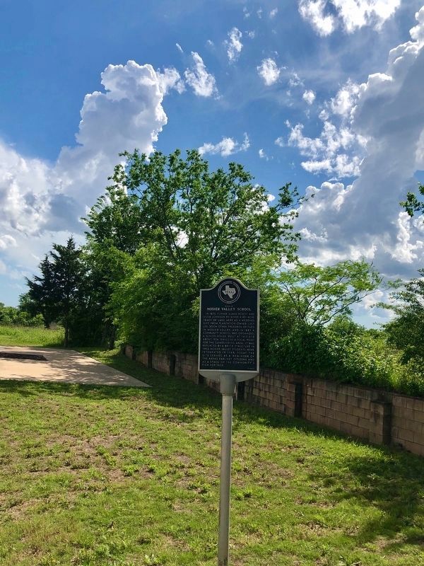
Location. 32° 48.46′ N, 97° 7.56′ W. Marker is in Euless, Texas, in Tarrant County. It is in Mosier Valley. Marker is on Mosier Valley Road west of Knapp Street, on the right when traveling west. Touch for map. Marker is at or near this postal address: 11315 Mosier Valley Road, Euless TX 76039, United States of America. Touch for directions.
Other nearby markers. At least 8 other markers are within 3 miles of this marker, measured as the crow flies. Saint John Missionary Baptist Church (approx. 0.2 miles away); Arwine Cemetery (approx. 2 miles away); a different marker also named Arwine Cemetery (approx. 2 miles away); Sloan-Journey Expedition of 1838 (approx. 2 miles away); Site of Bird's Fort (approx. 2.1 miles away); Jesse Chisholm (approx. 2.1 miles away); Calloway Cemetery (approx. 2.2 miles away); Gibbins Cemetery and Homestead Site (approx. 2˝ miles away). Touch for a list and map of all markers in Euless.
Credits. This page was last revised on February 2, 2023. It was originally submitted on April 12, 2021, by J Frye of Fort Worth, Texas. This page has been viewed 515 times since then and 96 times this year. Photos: 1, 2. submitted on April 12, 2021, by J Frye of Fort Worth, Texas. • J. Makali Bruton was the editor who published this page.

