Dublin in Franklin County, Ohio — The American Midwest (Great Lakes)
Kosciuszko Land Grant
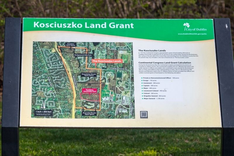
The Kosciuszko Lands. In 1797 the Continental Congress appropriated a grant of land totaling 500 acres to Thaddeus Kosciuszko as payment for his services to the United States during the Revolutionary War. Lying on the east side of the Scioto River and extending from the Delaware County line into the present day City of Dublin is the tract of land known as “The Kosciuszko Lands.”
Continental Congress Land Grant Calculation. During the Revolutionary War the Continental Congress promised bounty land as an incentive to military service. The Continental Congress Acts of 1788 gave free land in the public domain to officers and soldiers who continued to serve during the Revolutionary War or, if they were killed, to their representatives or heirs. The U.S. Revolutionary War Bounty Land Warrants used in the U.S. Military District of Ohio provided that officers and soldiers received grants of land based on the following calculation:
- Private or Noncommissioned Officer - 100 acres
- Ensign - 150 acres
- Lieutenant - 200 acres
- Captain - 300 acres
- Major - 400 acres
- Lieutenant Colonel - 450 acres
- Colonel - 500 acres
- Brigadier General - 850 acres
- Major General - 1,100 acres
Erected by the City of Dublin.
Topics. This historical marker is listed in this topic list: War, US Revolutionary. A significant historical year for this entry is 1797.
Location. 40° 7.3′ N, 83° 6.521′ W. Marker is in Dublin, Ohio, in Franklin County. Marker can be reached from the intersection of Hard Road and Riverside Drive (Ohio Route 257). It is in Thaddeus Kosciuszko Park, visible from the Hard Road parking lot. Touch for map. Marker is at or near this postal address: 4497 Hard Rd, Dublin OH 43016, United States of America. Touch for directions.
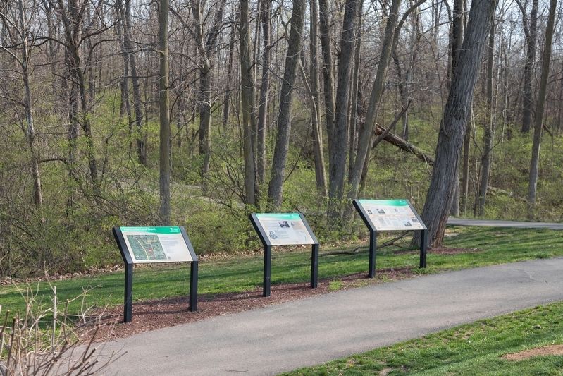
Other nearby markers. At least 8 other markers are within 2 miles of this marker, measured as the crow flies. Thaddeus Kosciuszko History (here, next to this marker); Dublin/Kosciuszko Timeline (here, next to this marker); Leatherlips (approx. 0.3 miles away); John I. and Bernice E. Thomas (approx. 0.9 miles away); a different marker also named Leatherlips (approx. 1.4 miles away); Dublin Veterans Park (approx. 1.4 miles away); Indian Run Cemetery (approx. 1.4 miles away); The Dublin Link (approx. 1.4 miles away). Touch for a list and map of all markers in Dublin.
More about this marker. This interpretive panel includes a large contemporary map with an outline of The Kosciuszko Lands superimposed in orange.
Credits. This page was last revised on April 12, 2021. It was originally submitted on April 12, 2021, by J. J. Prats of Powell, Ohio. This page has been viewed 223 times since then and 23 times this year. Photos: 1, 2. submitted on April 12, 2021, by J. J. Prats of Powell, Ohio.

