Middlesboro in Bell County, Kentucky — The American South (East South Central)
Watts Furnaces / Iron Made in Kentucky
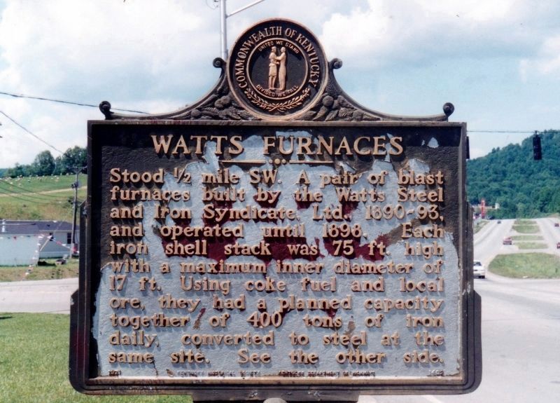
Watts Furnace
Stood ˝ mile SW. A pair of blast furnaces built by the Watts Steel and Iron Syndicate, Ltd., 1890-93, and operated until 1898. Each iron shell stack was 75 ft. high with a maximum inner diameter of 17 ft. Using coke fuel and local ore, they had a planned capacity together of 400 tons of iron daily, converted to steel at the same site. See the other side.
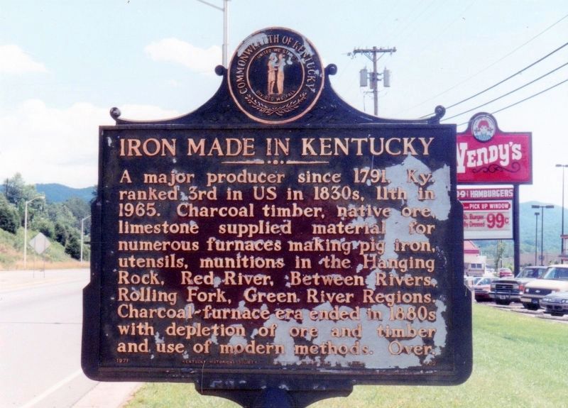
Iron Made in Kentucky
A major producer since 1791, Ky. ranked 3rd in US in 1830s, 11th in 1965. Charcoal timber, native ore, limestone supplied material for numerous furnaces making pig iron, utensils, munitions in the Hanging Rock, Red River, Between Rivers, Rolling Fork, Green River Regions. Charcoal-furnace era ends in 1880s with depletion of ore and timber and use of modern methods. Over.
Erected 1971 by Kentucky Historical Society and Kentucky Department of Highways. (Marker Number 1402.)
Topics and series. This historical marker is listed in this topic list: Industry & Commerce. In addition, it is included in the Kentucky Historical Society series list. A significant historical year for this entry is 1890.
Location. 36° 37.357′ N, 83° 42.272′ W. Marker is in Middlesboro, Kentucky, in Bell County. Marker is at the intersection of 12th Street (U.S. 25E) and 14th Street East, on the right when traveling south on 12th Street. Touch for map. Marker is in this post office area: Middlesboro KY 40965, United States of America. Touch for directions.
Other nearby markers. At least 8 other markers are within 2 miles of this marker, measured as the crow flies. Oldest House (approx. 0.4 miles away); Middlesboro Meteorite Crater Impact Site (approx. 0.8 miles away); Lewis and Clark in Kentucky Cumberland Gap (approx. 1.1 miles away); Middlesborough (approx. 1.1 miles away); Tri - State Heroes (approx. 1.1 miles away); St. Mary's Episcopal Church (approx. 1.2 miles away); Mountain Vision (approx. 1.3 miles away); Colonel Arthur Campbell (approx. 1.4 miles away). Touch for a list and map of all markers in Middlesboro.
Credits. This page was last revised on June 3, 2021. It was originally submitted on April 12, 2021, by Tim Fillmon of Webster, Florida. This page has been viewed 305 times since then and 13 times this year. Photos: 1, 2. submitted on April 12, 2021, by Tim Fillmon of Webster, Florida.
Editor’s want-list for this marker. A wide view photo of the marker and the surrounding area in context. • Can you help?

