Public House
— Davidsonville Historic State Park —
A Place to Gather
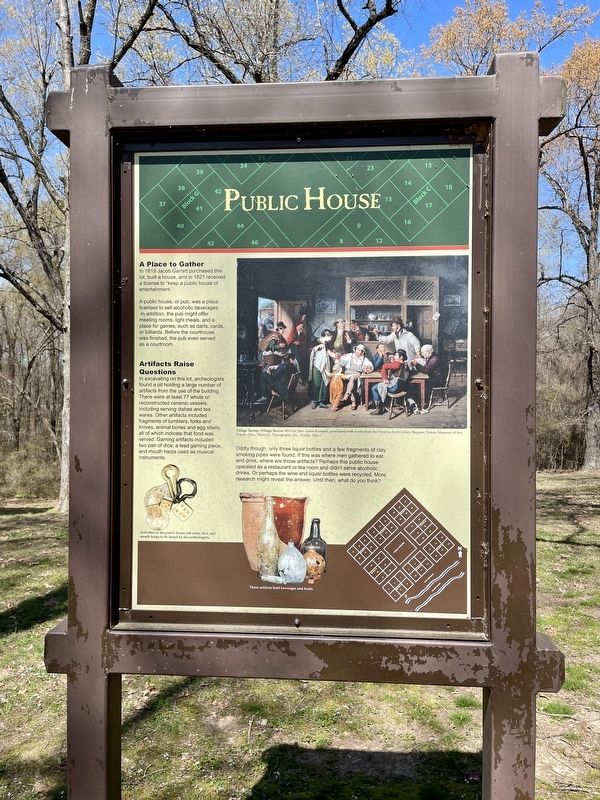
In 1819 Jacob Garrett purchased this lot, built a house, and in 1821 received a license to “keep a public house of entertainment."
A public house, or pub, was a place licensed to sell alcoholic beverages. In addition, the pub might offer meeting rooms, light meals, and a place for games, such as darts, cards, or billiards. Before the courthouse was finished, the pub even served as a courtroom.
Artifacts Raise Questions
In excavating on this lot, archeologists
found a pit holding a large number of
artifacts from the use of the building.
There were at least 77 whole or
reconstructed ceramic vessels,
including serving dishes and tea
wares. Other artifacts included
fragments of tumblers, forks and
knives, animal bones and egg shells,
all of which indicate that food was
served. Gaming artifacts included
two pair of dice; a lead gaming piece,
and mouth harps used as musical
instruments.
Oddly though, only three liquor bottles and a few fragments of clay smoking pipes were found. If this was where men gathered to eat and drink, where are those artifacts? Perhaps this public house operated as a restaurant or tea room and didn't serve alcoholic drinks. Or perhaps the wine and liquor bottles were recycled. More research might reveal the answer.
Until then, what do you think?
Captions:
Left: Activities in the public house left coins, dice, and mouth harps to be found by the archeologists.
Middle top: Village Tavern, (Village Tavern, 1813-14, John Lewis Krimmel, purchased with funds from the Florence Scott Libbey Bequest, Toledo Museum of Art, Toledo, Ohio, Photo by: Photography, Inc., Toledo, Ohio.)
Middle bottom: These artifacts held beverages and food.
Erected by the State of Arkansas.
Topics. This historical marker is listed in this topic list: Notable Places. A significant historical year for this entry is 1819.
Location. 36° 9.301′ N, 91° 3.396′ W. Marker is near Black Rock, Arkansas, in Randolph County. Marker can be reached from Arkansas Route 166, 0.6 miles south of Arkansas Route 361. Located 11 miles south of Pocahontas within the Davidsonville Historic State Park. Touch for map. Marker is at or near this postal address: 8047 Hwy 166 S, Pocahontas AR 72455, United States of America. Touch for directions.
Other nearby markers. At least 8 other markers are within walking distance of this marker. County Jail (a few steps from this marker); Courthouse Square (within shouting distance of this marker); County Seat Town (within shouting distance of this marker); Oldest Town Site in Arkansas (within shouting distance of this marker); Davidsonville Town Site
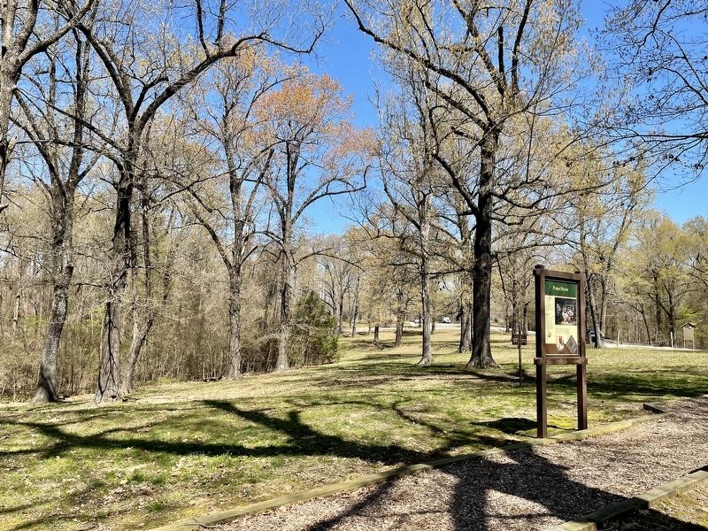
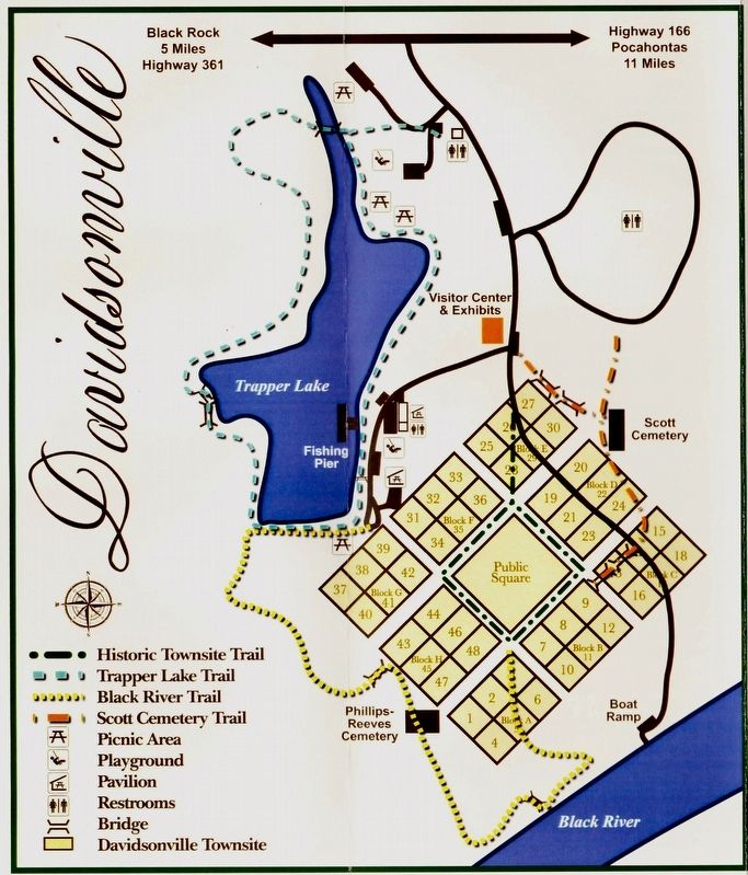
More about this marker. Marker is located within the Public Square on the Historic Townsite Trail.
Also see . . . Encyclopedia of Arkansas article about Davidsonville Historic State Park. (Submitted on April 12, 2021, by Mark Hilton of Montgomery, Alabama.)
Credits. This page was last revised on April 13, 2021. It was originally submitted on April 12, 2021, by Mark Hilton of Montgomery, Alabama. This page has been viewed 98 times since then and 6 times this year. Photos: 1, 2, 3. submitted on April 12, 2021, by Mark Hilton of Montgomery, Alabama.


