Keller in Tarrant County, Texas — The American South (West South Central)
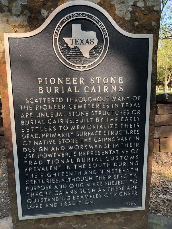
Pioneer Stone Burial Cairns
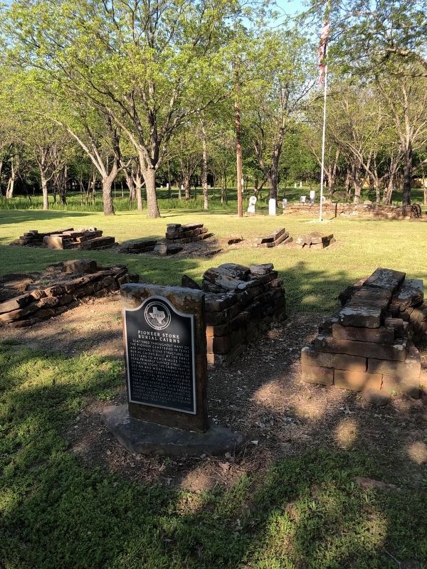
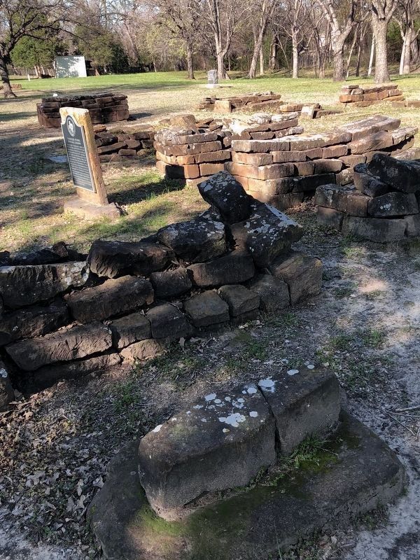
Scattered throughout many of the pioneer cemeteries in Texas are unusual stone structurers, or burial cairns, built by the early settlers to memorialize their dead. Primarily surface structures of native stone, the cairns vary in design and workmanship. Their use, however, is representative of traditional burial customs prevalent in the South during the eighteenth and nineteenth centuries. Although their specific purpose and origin are subject to theory, cairns such as these are outstanding examples of pioneer lore and tradition.
Erected 1983 by Texas Historical Commission. (Marker Number 4034.)
Topics. This historical marker is listed in these topic lists: Cemeteries & Burial Sites • Settlements & Settlers.
Location. 32° 56.984′ N, 97° 13.267′ W. Marker is in Keller, Texas, in Tarrant County. Marker is on Ottinger Road west of Manor Way, on the right when traveling west. Touch for map. Marker is at or near this postal address: 1351 Bancroft Road, Keller TX 76248, United States of America. Touch for directions.
Other nearby markers. At least 8 other markers are within 3 miles of this marker, measured as the crow flies. Mount Gilead Cemetery (within shouting distance of this marker); Mount Gilead Baptist Church (about 400 feet away, measured in a direct line); Keller Methodist Church (approx. ¾ mile away); Bourland Cemetery (approx. 1.3 miles away); First Baptist Church of Keller (approx. 1.9 miles away); Jellico (approx. 2.2 miles away); Keller (approx. 2.3 miles away); Westlake and the Circle T Ranch (approx. 2.4 miles away). Touch for a list and map of all markers in Keller.
Credits. This page was last revised on May 26, 2023. It was originally submitted on April 12, 2021, by J Frye of Fort Worth, Texas. This page has been viewed 341 times since then and 59 times this year. Photos: 1, 2. submitted on May 26, 2023, by J Frye of Fort Worth, Texas. 3. submitted on December 18, 2021, by J Frye of Fort Worth, Texas. • J. Makali Bruton was the editor who published this page.


