Wabash Cannonball Trail
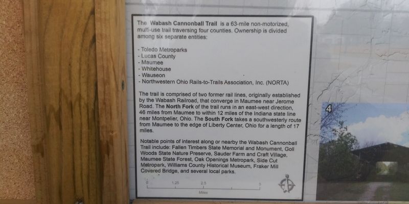
The Wabash Cannonball Trail is a 63-mile non-motorized, multi-use trail traversing four counties. Ownership is divided among six separate entities:
- Toledo Metroparks
- Lucas County
- Maumee
- Whitehouse
- Wauseon
- Northwestern Ohio Rails-to-Trails Association, Inc. (NORTA)
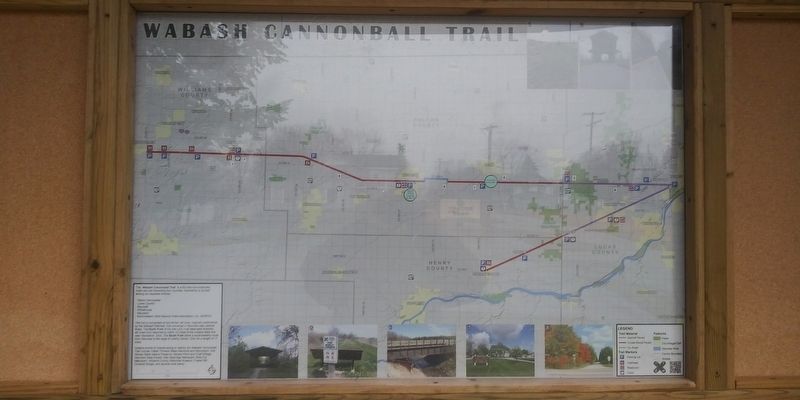
The trail is comprised of two former rail lines, originally established by the Wabash Railroad, that converge in Maumee near Jerome Road. The North Fork of the trail runs in an east-west direction, 46 miles from Maumee to within 12 miles of the Indiana state line near Montpelier, Ohio. The South Fork takes a southwesterly route from Maumee to the edge of Liberty Center, Ohio for a length of 17 miles.
Notable points of interest along or nearby the Wabash Cannonball
Trail include: Fallen Timbers State Memorial and Monument, Goll
Woods State Nature Preserve, Sauder Farm and Craft Village,
Maumee State Forest, Oak Openings Metropark, Side Cut
Metropark, Williams County Historical Museum, Fraker Mill
Covered Bridge, and several local parks.
Topics. This historical marker is listed in these topic lists: Parks & Recreational Areas • Railroads & Streetcars.
Location. 41° 33.322′ N, 84° 8.343′ W. Marker is in
Other nearby markers. At least 8 other markers are within walking distance of this marker. Clinton Township Memorial Building (approx. 0.4 miles away); Soldiers Of Fulton County Civil War Memorial (approx. half a mile away); This American Elm (approx. 0.6 miles away); New York Central Railroad Depot (approx. 0.6 miles away); St. Caspar Church (approx. 0.6 miles away); Civil War Memorial Cannon (approx. 0.6 miles away); Fulton County Soldiers & Sailors Memorial (approx. 0.7 miles away); a different marker also named Fulton County Soldiers & Sailors Memorial (approx. 0.7 miles away). Touch for a list and map of all markers in Wauseon.
Credits. This page was last revised on April 14, 2021. It was originally submitted on April 12, 2021, by Craig Doda of Napoleon, Ohio. This page has been viewed 147 times since then and 18 times this year. Photos: 1, 2, 3. submitted on April 12, 2021, by Craig Doda of Napoleon, Ohio. • Devry Becker Jones was the editor who published this page.


