Hodgenville in Larue County, Kentucky — The American South (East South Central)
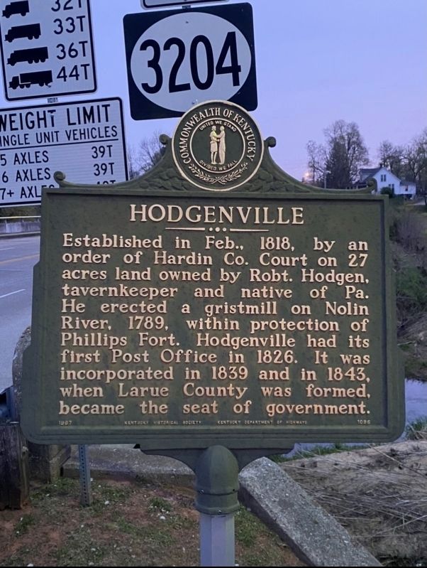
Hodgenville
Erected 1966 by Kentucky Historical Society and Kentucky Department of Highways. (Marker Number 1096.)
Topics. This historical marker is listed in these topic lists: Forts and Castles • Industry & Commerce • Political Subdivisions • Settlements & Settlers. A significant historical month for this entry is February 1818.
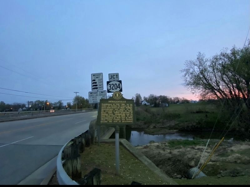
Location. 37° 34.547′ N, 85° 44.409′ W. Marker is in Hodgenville, Kentucky, in Larue County. Marker is on North Lincoln Boulevard (Kentucky Route 210) 0.1 miles north of East Water Street, on the right when traveling north. Touch for map. Marker is at or near this postal address: 211 N Lincoln Blvd, Hodgenville KY 42748, United States of America. Touch for directions.
Other nearby markers. At least 8 other markers are within 3 miles of this marker, measured as the crow flies. Courthouse Burned (about 700 feet away, measured in a direct line); Lincoln and Hodgen's Mill (about 700 feet away); Two Miles South of this town Abraham Lincoln was born ... (about 800 feet away); Abraham Lincoln - As - A - Boy Statue (about 800 feet away); Larue County / County Officials --- 1843 (approx. 0.2 miles away); Phillips Fort (approx. 0.4 miles away); An Idyllic Frontier Scene (approx. 3.1 miles away); An Enduring Symbol (approx. 3.1 miles away). Touch for a list and map of all markers in Hodgenville.
Credits. This page was last revised on April 13, 2021. It was originally submitted on April 11, 2021, by Darren Jefferson Clay of Duluth, Georgia. This page has been viewed 181 times since then and 19 times this year. Last updated on April 12, 2021, by Bradley Owen of Morgantown, West Virginia. Photos: 1, 2. submitted on April 11, 2021, by Darren Jefferson Clay of Duluth, Georgia. • Devry Becker Jones was the editor who published this page.

