Tomball in Harris County, Texas — The American South (West South Central)
Tomball
Photographed by James Hulse, April 6, 2021
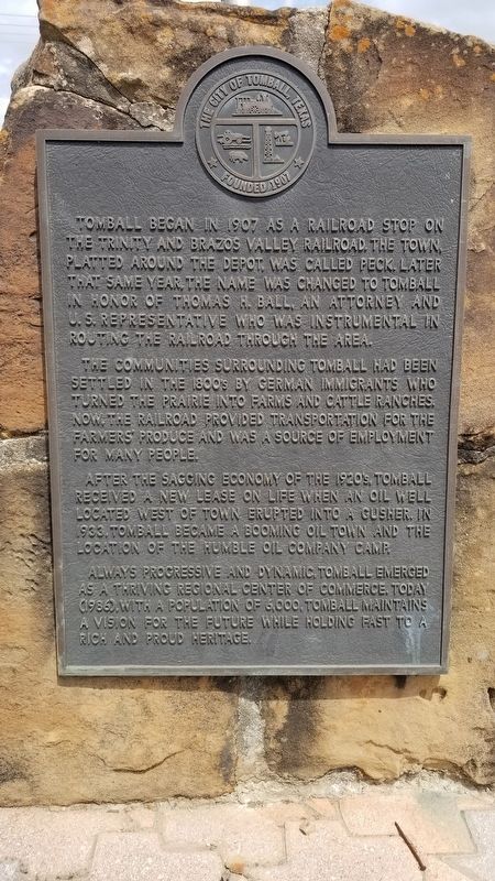
1. Tomball Marker
Tomball began in 1907 as a railroad stop on the Trinity and Brazos Valley Railroad, the town, platted around the depot, was called Peck. Later that same year, the name was changed to Tomball in honor of Thomas H. Ball, an attorney and U.S. Representative who was instrumental in routing the railroad through the area.
The communities surrounding Tomball had been settled in the 1800's by German immigrants who turned the prairie into farms and cattle ranches. Now, the railroad provided transportation for the farmers' produce and was a source of employment for many people.
After the sagging economy of the 1920's, Tomball received a new lease on life when an oil well located west of town erupted into a gusher. In 1933, Tomball became a booming oil town and the location of the Humble Oil Company camp.
Always progressive and dynamic, Tomball emerged as a thriving regional center of commerce. Today (1986), with a population of 6000, Tomball maintains a vision for the future while holding fast to a rich and proud heritage.
Erected 1986 by The City of Tomball.
Topics. This historical marker is listed in these topic lists: Railroads & Streetcars • Settlements & Settlers. A significant historical year for this entry is 1907.
Location. 30° 5.894′ N, 95° 36.835′ W. Marker is in Tomball, Texas, in Harris County. It is at the intersection of North Elm Street and West Main Street (Farm to Market Road 2920), on the right when traveling north on North Elm Street. Touch for map. Marker is in this post office area: Tomball TX 77375, United States of America. Touch for directions.

Regionally, this marker is in the Houston Metropolitan Area. It is also in the American South and on the Gulf Coast. Globally, it is in North America, a Gulf of Mexico state, the Western Hemisphere, the Western World, and the
this page online
Other nearby markers. At least 8 other markers are within 3 miles of this marker, measured as the crow flies: Texas Railroads, C. S. A. (about 400 feet away, measured in a direct line); Pillot Family (approx. 0.4 miles away); Griffin Memorial House (approx. 0.4 miles away); Spring Creek County (approx. 2.3 miles away); Pillot Cemetery (approx. 2.4 miles away); Spring Creek Park Cemetery (approx. 2½ miles away); Site of Confederate Powder Mill (approx. 2.6 miles away); Salem Lutheran Cemetery (approx. 2.9 miles away). Touch for a list and map of all markers in Tomball.
Also see . . . Tomball, TX.
The town was featured in Ripley's Believe It or Not as being the only city with free gas and water and no cemetery. Source: The Handbook of Texas(Submitted on April 21, 2021, by James Hulse of Medina, Texas.)
Photographed by James Hulse, April 6, 2021
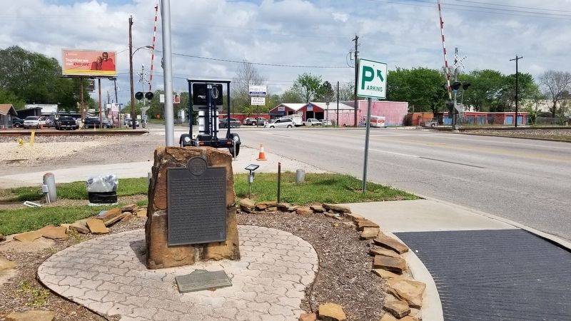
2. The Tomball Marker
Photographed by James Hulse, April 6, 2021
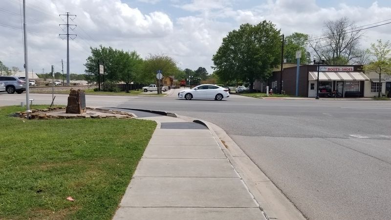
3. The view of the Tomball Marker at the intersection
Photographed by James Hulse, April 6, 2021
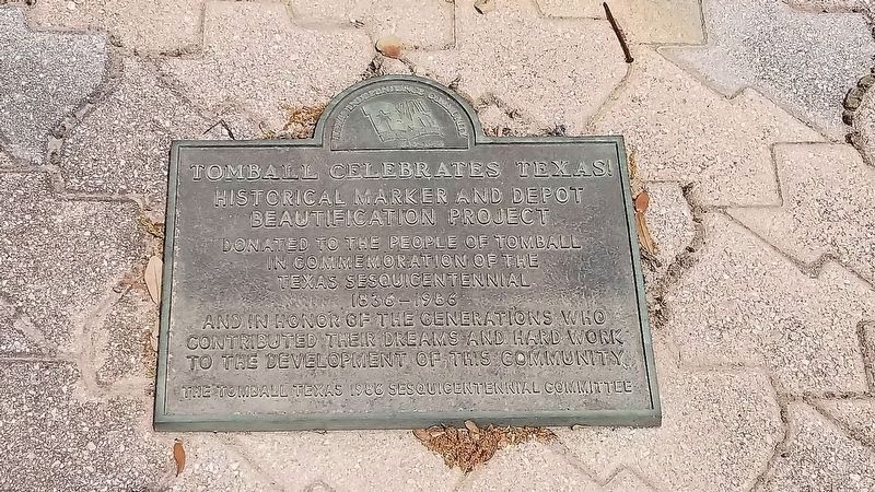
4. 2nd Commemorative Marker located on the ground in front for 1st marker
Credits. This page was last revised on February 1, 2023. It was originally submitted on April 13, 2021, by James Hulse of Medina, Texas. This page has been viewed 1,243 times since then and 76 times this year. Photos: 1, 2, 3, 4. submitted on April 13, 2021, by James Hulse of Medina, Texas.
